Loading...

WINTER SALE! 50% OFF Supporter Accounts — now through January 31st. Learn More.

Henrici Trail

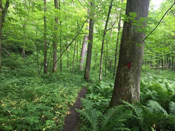
The Henrici Trail at Raccoon Creek State Park's Wildflower Reserve in Clinton, Pennsylvania is an easy 0.6-mile one-way trail that leads through the northern section of the wildflower reserve. You can pickup the trailhead just west of the parking lot - there's a trailhead sign located along the short driveway that leads to the parking lot.

This trail also connects to the Jennings Trail at the eastern terminus, which can be used to loop the entire wildflower reserve for a 2.3-mile hike.

No dogs, biking, or food allowed on the trails within the Wildflower Reserve.

Wildflowers: Wildflowers can be found generally after mid-April.
Explore 176 trails near Clinton, PA

Know Before You Go

  • Henrici Trail is a short, 0.6-mile one-way trail in Raccoon Creek State Park's Wildflower Reserve in Clinton, PA.
  • The trail connects to the Jennings Trail, allowing for a 2.3-mile loop hike.
  • No dogs, biking, or food are permitted on the trails, and wildflowers are typically visible after mid-April.
Interactive topographic map for Henrici Trail located in Clinton, PA. Click the "View Map" button to load GPS coordinates and trail markers.
Get directions
Distance
0.6 mi
Difficulty
Easy
Type
One-Way
Est. Time
18 min
Elev. Gain
97'
Rating
0.0
Added
May 28, 2017
Updated
April 21, 2019

Weather Forecast

Loading...
Total Change
83'
Ascent
97'
Descent
11'
Loading...

Download the GPX Data for Offline Use

Supporters get exclusive access to download trail routes to the MyHikes app for offline use. Stay prepared on your adventure, even without an internet connection! Become a Supporter today to unlock this feature and hike with confidence.

Download Henrici Trail GPX Data to the MyHikes Mobile App

Points of interest

  1. Parking

    40.507208, -80.36474
  2. Main Trailhead

    40.508824, -80.355833

Safety information

For your own safety: plan ahead, let someone know where you'll be, and hike at your own risk.

Markers

Blaze Color

Red

Availability

Spring

Surface type

Dirt

Trip Reports (Reviews)

Your opinion matters! Be the first to rate this trail.

Ready to help fellow hikers? Add a trip report to share your experience and provide valuable insights for other hikers!

0.6 miles / 1.0 km
June 22, 2018
Hiking
0.6 miles / 1.0 km
June 22, 2018
Hiking
0.6 miles / 1.0 km
May 28, 2017
Hiking
No community routes found. To add your own hike as a Community Route for this Trail guide, leave a Trip Report with an attached GPX file.

Popular categories

Scenic mountain view representing vista trails
Vista trails
Scenic gorge of cascades representing waterfall trails
Waterfall hikes
Rugged mountain terrain representing summit trails
Summit trails
Scenic mountain view representing dog-friendly trails
Dog-friendly
Scenic campsite with a view representing camping trails
Camping trails
Appalachian Trail logo representing A.T. hikes
A.T. hikes

You May Also Like

New York's Best Waterfalls - Whether you're planning a day hike, roadside stop, or a leisurely short walk, this guide provides hikers, travelers, and locals alike with 63 different locations to over 100 scenic waterfalls to help plan your next adventure!
Explore

New York's Best Waterfalls

Whether you're planning a day hike, roadside stop, or a leisurely short walk, this guide provides hikers, travelers, and locals alike with 63 different locations to over 100 scenic waterfalls to help plan your next adventure!

Read
🍪 We use cookies to learn about site usage and to serve map tiles. You may block cookies manually in the browser. By continuing you agree. Learn more