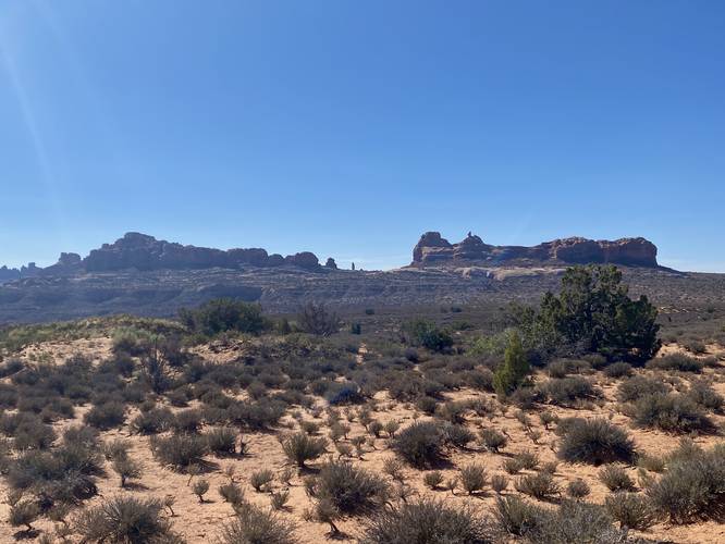
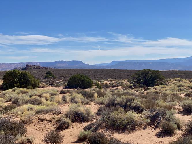
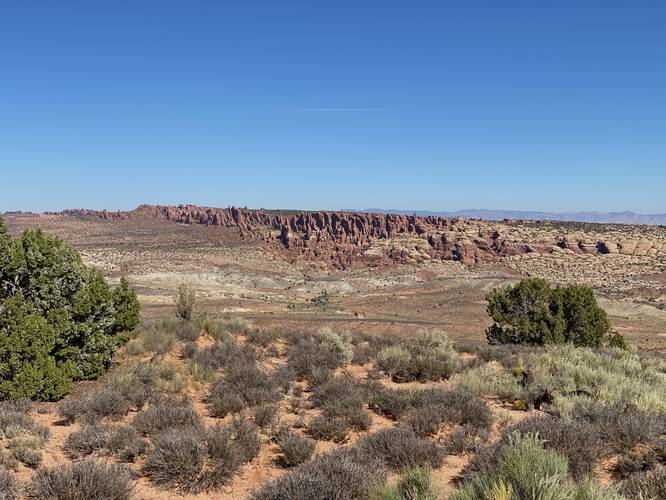
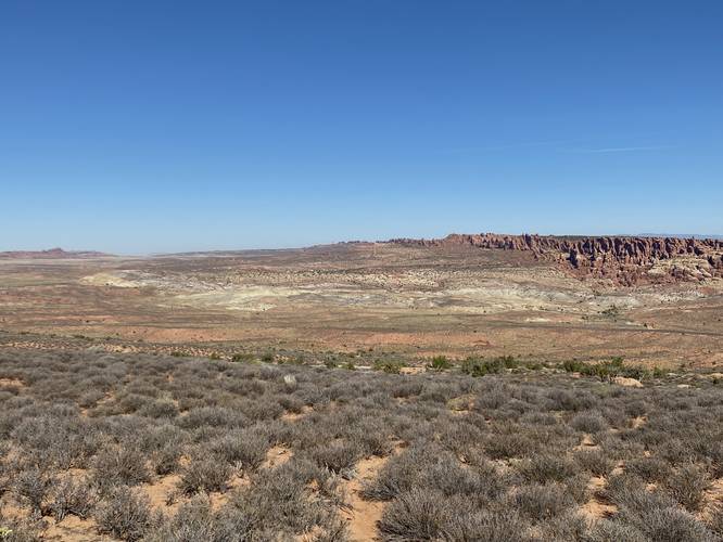
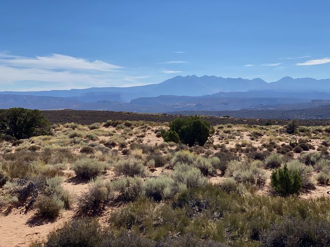
Panorama Point Overlook at Arches National Park near Moab, Utah is an easy universally-accessible 0.1-mile loop walk that features panoramic views of the desert landscape within the park.
This is not a hike but rather a short flat walk along a paved surface that encompasses a very small loop. Walkers will find panoramic views from the start to finish -- most of which are similar, all desert landscape within Arches National Park with varying shades of red, brown, white, and some blue-ish colors in the hills. If you spot blue-tinted hills, you've found the Earth's uranium layer. In the middle of the parking lot is a space for visitors to take a break and relax, with benches and sun shades.
Seclusion
Looking for a bit of seclusion in Arches National Park? Look no further than this short panoramic view walk. Upon our visit we were but 1 of just 3 people here. While the views are great, the park has far-more interesting things to explore, so most people skip this overlook.
Parking
Hikers will find a large parking lot at the coordinates provided. The lot is large enough to fit a couple dozen vehicles.
Pets
Dogs are not allowed on any trails at Arches National Park. Please do not bring your dog here.
Fees
As of September 2023, there's a $30 fee per vehicle to enter Arches National Park.
Warnings
Sun exposure: This trail has very little shade and no water sources. Pack-in all water and wear sun screen and a hat to protect against sun exposure. It's smart to hike either in the early morning or late afternoon to avoid the intense desert sun.
No water: This trail has no water sources so you must pack-in all water. A general rule of thumb in the desert is 1 gallon of water per person per day.
Rattlesnakes: This is rattlesnake territory, so be on the lookout and give any rattlers you find plenty of space.