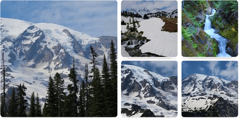
The Old Mine Trail at Mt. Rainier National Park near Ashford, WA is a difficult 3 mile out-and-back hike up to an old abandoned mine along the mountain's slopes. This abandoned mine was once owned by the Washington Mining & Mill Company.
The trail is located ~1.2 miles down the gated entrance from Carbon River rd. Carbon River rd is no longer in use for vehicles beyond the parking area, so this whole journey includes the hike down the road, which is ~2.4 miles round trip (see Carbon River Trail for more details). Also make sure to pay the National Park parking fee before hitting the trail.
The Old Mine Trail itself, including the GPS data shown here, is only 0.4 miles round trip. The trail is easy at first, but quickly shoots up the side of a hill with large wood planks for steps. Be careful of your footing, because there are a lot of areas where you could easily slip and fall down the hill.
Once you make it to the top of the hill you'll find the old mine with large metal gates blocking the entrance.