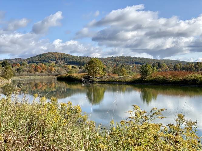
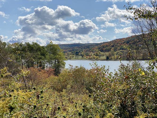
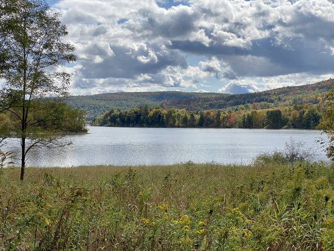
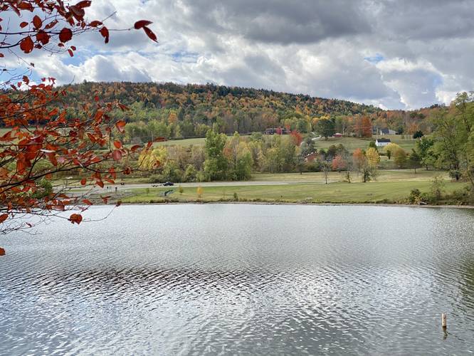
The Moccasin Trail Cowanesque Lake Recreation Area near Elkland, Pennsylvania is an easy 8-mile out-and-back trail that runs along the shore of Cowanesque Lake and features beautiful views of the lake and neighboring hills.
Trails
This hike follows two named trails: Moccasin Trail, Mid State Trail (MST). While this hike follows the entirety of the Moccasin Trail, the Mid State Trail also follows this same path.
Trail Description
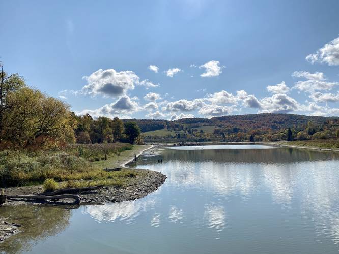
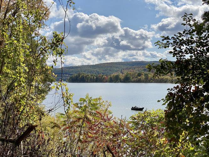
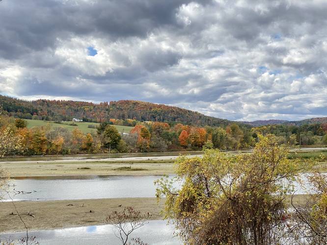
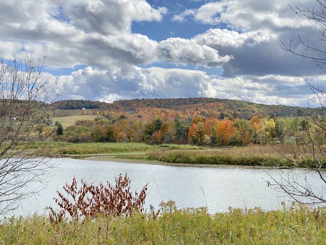
This hike begins at the western trailhead and follows the orange blazes of the Moccasin Trail / Mid State Trail while following the western shore of Cowanesque Lake. Along this western shore section, hikers will find plenty of small trails that lead down to the water -- likely created by fisherman and deer. Hikers will also find views of the lake along this western shoreline.
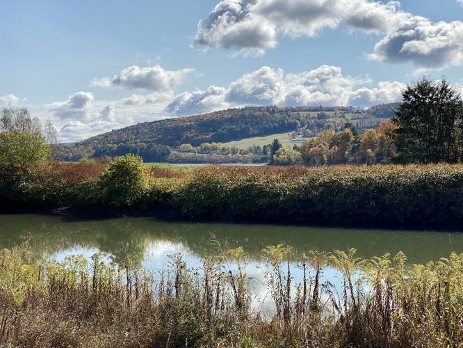
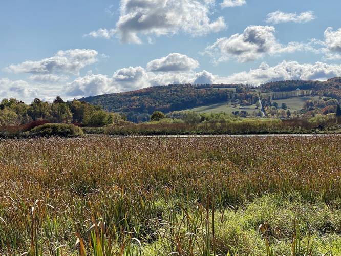
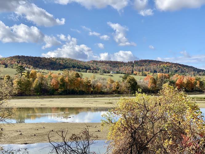
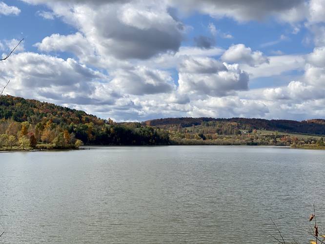
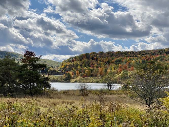
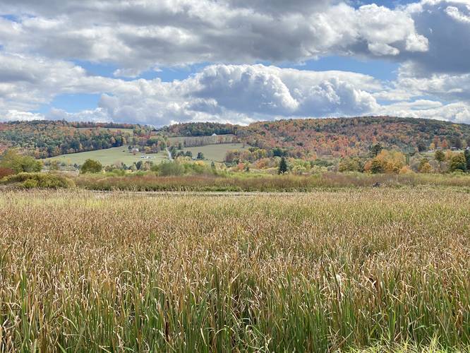
As the trail begins to reach the northwestern corner of the lake, the trail will lead into a marsh-like area full of cat-o-nine-tails and other tall grasses. Here, the trail will cross several wooden bridges where hikers can take in more scenic views of the lake and the neighboring hillsides.
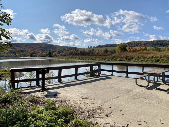
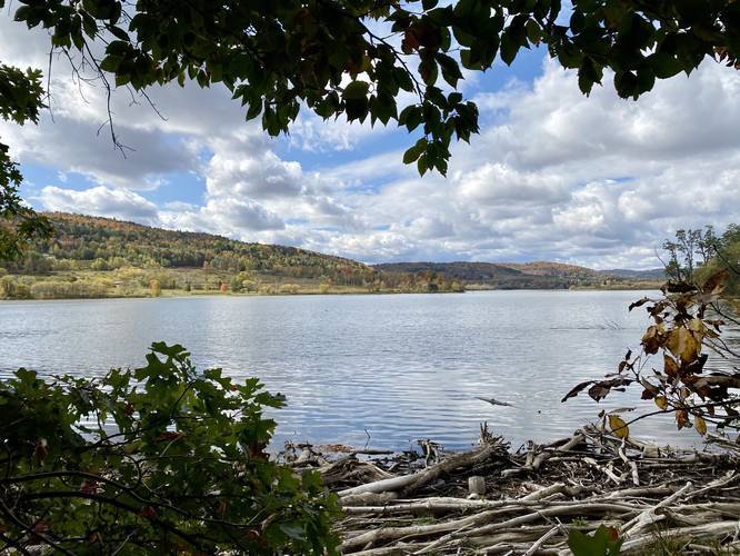
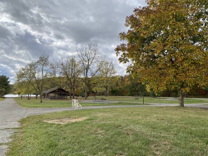
Once the trail starts running along the northern shore, hikers will reach a point where the trail begins to follows old asphalt. Around mile 0.77, hikers will reach the Nelson fishing and picnic site, which sits along the water. The picnic site - during early Autumn 2020 - had a grill and a picnic table. Hikers can get more views of the lake and neighboring hills here as well.
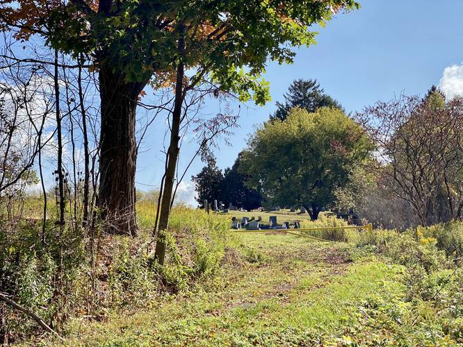
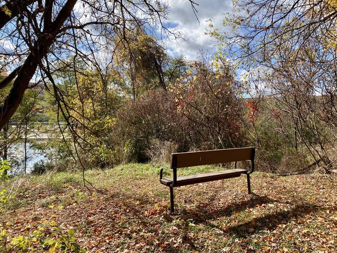
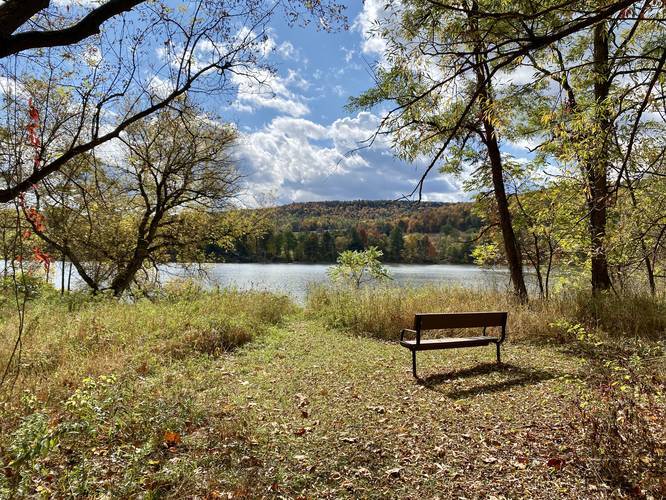
After passing the Nelson picnic area, the trail will pass a cemetery around mile 1, which has a nice bench and vista as well. From here, the trail runs along the north shore of Cowanesque Lake, passing about 8 more vista points or view areas along the way. The trail is relatively easy to follow - just follow the orange blazes and the brown hiker signs.
Railroad History
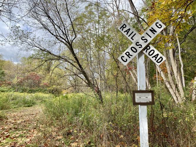
Around mile 2.8, hikers will reach an old railroad sign - which may have been placed here as a historical marker or maybe was leftover when the trail was built. Keen-eyed hikers would note a couple of things before reaching this sign - first, the sloped terrain on both sides of the trail, a "hollow" sound when stepping hard on the trail substrate, and last, a handful of old railroad ties were found in the overgrowth to the side of the trail. While it's unclear exactly where the old railroad bed used to lie in its entirety, it's easy to say this trail follows a good portion of that old bed.
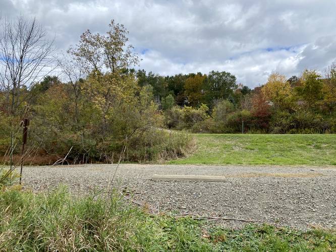
After passing the railroad sign, the trail heads uphill toward a small parking lot along Bliss Road in Elkland, PA. The trail, from here, will follow some open fields while it descends toward a creek bed before making its way to the eastern trailhead.
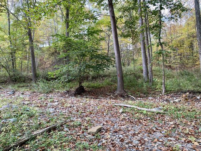
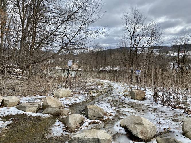
Just before exiting the trail, around mile 3.75, hikers will reach a rocky creek bed which may be totally washed out during the Spring. Hikers should be able to pass this section easily after mid-June, once the heavy rain has stopped; however, hikers should note that the eastern trailhead may be difficult to hike to during wet months.
After hiking beyond the creek bed, hikers will reach the Tompkin Campground and the eastern trailhead. The hike back is identical to the hike in - hence the out-and-back hike; however, hikers will get to enjoy the same vista areas from a different perspective.
Difficulty
Overall this hike should be considered easy because of the elevation gain and total mileage. For the most part, the trail is relatively flat with some small exceptions. Some hikers may find this entire 8-mile hike to be "moderate" based on their skill level.
Parking
Hikers will find a small parking lot near the coordinates provided at the western trailhead. The lot is large enough to fit about 6 vehicles. Some folks who fish at Nelson Falls, across the street, park along the south side of PA Route 49, so this is another parking option. Hikers can also park at the Tompkins Campground at the eastern trailhead as well.
Pets
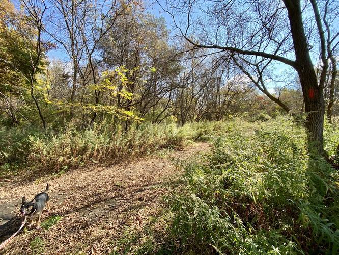
Dogs are allowed if leashed.
Semi-paved Surface Type
This trail follows mostly grass/dirt paths. Some sections follow an old asphalt road, but it's in bad condition and mostly overgrown with tall grasses and shrubs in some places. Not ideal for strollers, etc.
Trails
This hike follows two named trails: Moccasin Trail, Mid State Trail (MST). While this hike follows the entirety of the Moccasin Trail, the Mid State Trail also follows this same path.
Trail Description
This hike begins at the western trailhead and follows the orange blazes of the Moccasin Trail / Mid State Trail while following the western shore of Cowanesque Lake. Along this western shore section, hikers will find plenty of small trails that lead down to the water -- likely created by fisherman and deer. Hikers will also find views of the lake along this western shoreline.
As the trail begins to reach the northwestern corner of the lake, the trail will lead into a marsh-like area full of cat-o-nine-tails and other tall grasses. Here, the trail will cross several wooden bridges where hikers can take in more scenic views of the lake and the neighboring hillsides.
Once the trail starts running along the northern shore, hikers will reach a point where the trail begins to follows old asphalt. Around mile 0.77, hikers will reach the Nelson fishing and picnic site, which sits along the water. The picnic site - during early Autumn 2020 - had a grill and a picnic table. Hikers can get more views of the lake and neighboring hills here as well.
After passing the Nelson picnic area, the trail will pass a cemetery around mile 1, which has a nice bench and vista as well. From here, the trail runs along the north shore of Cowanesque Lake, passing about 8 more vista points or view areas along the way. The trail is relatively easy to follow - just follow the orange blazes and the brown hiker signs.
Railroad History
Around mile 2.8, hikers will reach an old railroad sign - which may have been placed here as a historical marker or maybe was leftover when the trail was built. Keen-eyed hikers would note a couple of things before reaching this sign - first, the sloped terrain on both sides of the trail, a "hollow" sound when stepping hard on the trail substrate, and last, a handful of old railroad ties were found in the overgrowth to the side of the trail. While it's unclear exactly where the old railroad bed used to lie in its entirety, it's easy to say this trail follows a good portion of that old bed.
After passing the railroad sign, the trail heads uphill toward a small parking lot along Bliss Road in Elkland, PA. The trail, from here, will follow some open fields while it descends toward a creek bed before making its way to the eastern trailhead.
Just before exiting the trail, around mile 3.75, hikers will reach a rocky creek bed which may be totally washed out during the Spring. Hikers should be able to pass this section easily after mid-June, once the heavy rain has stopped; however, hikers should note that the eastern trailhead may be difficult to hike to during wet months.
After hiking beyond the creek bed, hikers will reach the Tompkin Campground and the eastern trailhead. The hike back is identical to the hike in - hence the out-and-back hike; however, hikers will get to enjoy the same vista areas from a different perspective.
Difficulty
Overall this hike should be considered easy because of the elevation gain and total mileage. For the most part, the trail is relatively flat with some small exceptions. Some hikers may find this entire 8-mile hike to be "moderate" based on their skill level.
Parking
Hikers will find a small parking lot near the coordinates provided at the western trailhead. The lot is large enough to fit about 6 vehicles. Some folks who fish at Nelson Falls, across the street, park along the south side of PA Route 49, so this is another parking option. Hikers can also park at the Tompkins Campground at the eastern trailhead as well.
Pets
Dogs are allowed if leashed.
Semi-paved Surface Type
This trail follows mostly grass/dirt paths. Some sections follow an old asphalt road, but it's in bad condition and mostly overgrown with tall grasses and shrubs in some places. Not ideal for strollers, etc.