Loading...

🎉 Claim your Free 7-Day Supporter Trial to Unlock Exclusive Perks. Learn more.

Kurama to Kibune Hike

Kurama to Kibune Hike

Tucked away in the forested Kitayama Mountains just north of central Kyoto, the hike from Kurama to Kibune features old-growth Japanese cedar forests, temples, sacred mountain shrines, and mountain views.

This one-way, 3 km (1.9 mile) route is ideal for hikers wanting a moderate physical challenge balanced with cultural exploration and mountain views.

The Ascent & Yuki Shrine - 0 km to 0.4 km

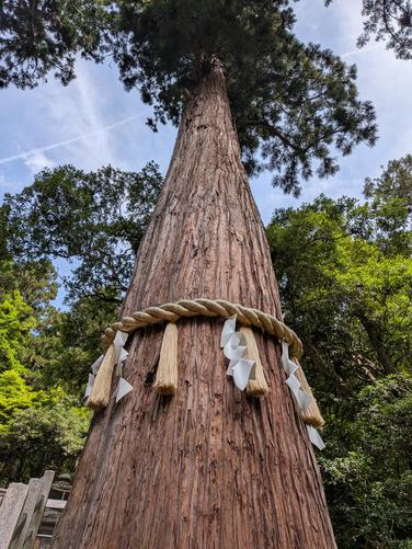
Starting in Kurama, the trail starts with a steady climb up stone steps lined with vibrant red vermilion lanterns. At the 0.4 km mark, you will reach Yuki Shrine. This historic sanctuary is famed for its towering, 800-year-old sacred Japanese cedar tree (cryptomeria) that dominates the courtyard, standing over 50 meters tall.

Kurama-dera & Observation Deck - 1.3 km

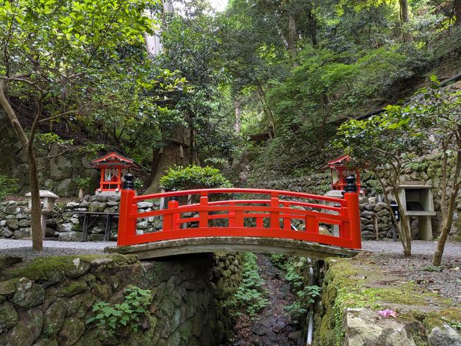
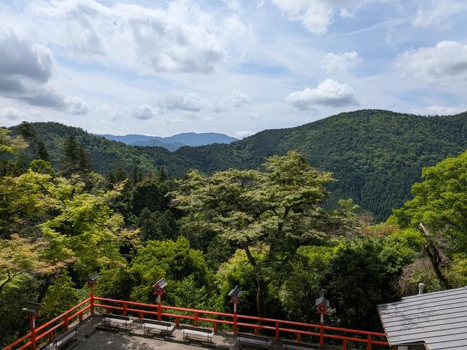
Continuing past Yuki Shrine, the trail crosses a scenic footbridge that spans a rushing mountain creek before following switchbacks to reach higher elevation. The path leads you directly to the plaza of the Kurama-dera Honden (Kuramadera Temple), which sits near 1.3 km from the trailhead. Step out onto the observation deck right in front of the temple to enjoy stunning panoramic views of the surrounding Kitayama mountain ridges.

Path of Tree Roots (Kinone Michi) - 1.3 km to 2.25 km

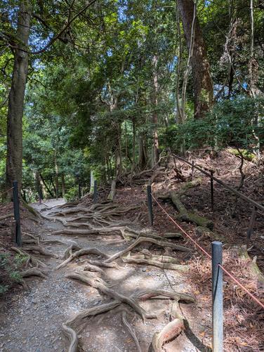
Past the Kuramadera Temple and observation deck, the trail follows a more rugged mountain path. You will soon cross over the mountain ridge and enter the Kinone Michi (Path of Tree Roots). Because the mountain soil here is incredibly hard and dense, the roots of the ancient cedar trees cannot penetrate deep into the ground. Instead, they form an intricate web across the forest floor.

The Descent to Kibune - 2 km to 3 km

After crossing the mountain ridge, the trail begins its descent toward the Kibune valley. You will hike down a series of dirt paths and wooden steps surrounded by a quiet, deep canopy of green maples and evergreens. The trail officially ends as you cross a bright red bridge spanning the Kibune River, passing through the West Gate of Kurama-dera and right into the heart of Kibune village.

Getting to the Kurama Trailhead

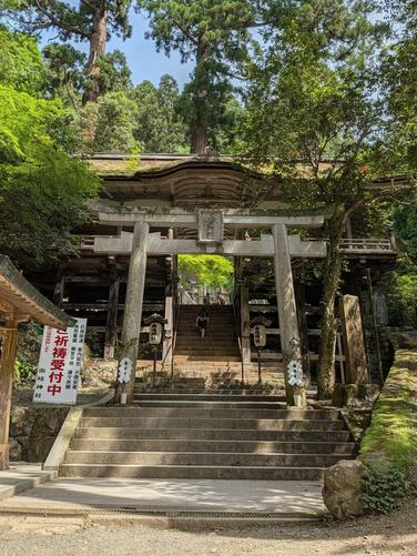
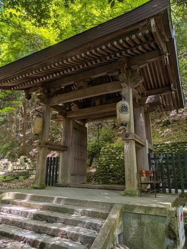
From central Kyoto, make your way to Demachiyanagi Station. Board the scenic Eizan Electric Railway (Kurama Line) and ride it to Kurama Station (~30 minutes, ¥470). Exit the station (look out for the giant red Tengu statue greet you in the courtyard) and follow the signs north for a brief 5-minute walk to the Niomon Gate—the official entrance of Kurama-dera Temple and the start of the hike. Note: There is a ¥500 "mountain maintenance" admission fee to enter.

Getting to Kyoto from Kibune

Once you complete the hike and exit into the village of Kibune, you can explore the village's famous riverfront dining platforms and shrines. To return to Kyoto, catch Kyoto Bus No. 33 from the Kibune bus stop. It runs a brief 7-minute shuttle down the road to Kibuneguchi Station. Alternatively, you can walk the 2 km sidewalk alongside the river to the station (~25–30 minutes). Hop back on the Eizan Electric Railway at Kibuneguchi Station to head back down to Demachiyanagi Station in Kyoto.


Know Before You Go

  • Recommended Trail Direction: Start the hike at Kurama and head toward Kibune. This allows you to climb up the steepest sections via stone staircases and passes most of the cultural sites first.
  • Bring Cash for Transit: It's smart to keep coins on hand for the Eizan Electric Railway and the Kibune return bus.
  • Prepare for Varied Terrain: While the initial climb features well-maintained paved steps, the ridge trail turns into a rugged dirt path covered in exposed tree roots. Wear sturdy hiking shoes with good grip to safely navigate the uneven ground.
Interactive topographic map for Kurama to Kibune Hike located in Kyoto, Japan. Click the "View Map" button to load GPS coordinates and trail markers.
Get directions
Distance
3.1 km
Difficulty
Moderate
Type
One-Way
Est. Time
1.2 hrs
Elev. Gain
253m
Rating
0.0
Added
May 25, 2026
Updated
May 27, 2026
Loading...
Total Change
247m
Ascent
253m
Descent
193m
Loading...

Download the GPX Data for Offline Use

Supporters get exclusive access to download trail routes to the MyHikes app for offline use. Stay prepared on your adventure, even without an internet connection! Become a Supporter today to unlock this feature and hike with confidence.

Download Kurama to Kibune Hike GPX Data to the MyHikes Mobile App

Features

Vista / Lookout Point
Water Source

Points of interest

  1. Parking

    35.113231, 135.773284
  2. Main Trailhead

    35.113231, 135.773284
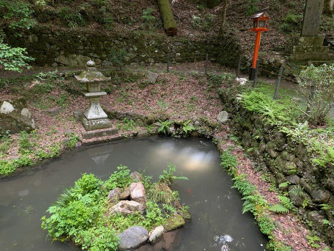
  3. Pond

    35.115125, 135.772356
    Pond
  4. Yuki Shrine

    35.115786, 135.771803
    Yuki Shrine

Safety information

For your own safety: plan ahead, let someone know where you'll be, and hike at your own risk.

Availability

All seasons

Surface type

Dirt

Trip Reports (Reviews)

Your opinion matters! Be the first to rate this trail.

Ready to help fellow hikers? Add a trip report to share your experience!

No community routes found. To add your own hike as a Community Route for this Trail guide, leave a Trip Report with an attached GPX file.

You may also like

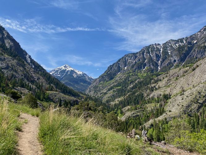
Colorado's Million Dollar Highway - Plan a day's drive adventure along the iconic Million Dollar Highway in Colorado. Explore the best short trails, roadside stops, waterfalls, vistas, ghost towns, and hot springs within a ~6 hour road trip.
Explore

Colorado's Million Dollar Highway

Plan a day's drive adventure along the iconic Million Dollar Highway in Colorado. Explore the best short trails, roadside stops, waterfalls, vistas, ghost towns, and hot springs within a ~6 hour road trip.

Read
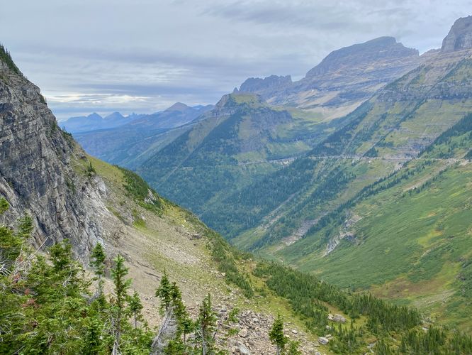
Glacier's Going-to-the-Sun Road - Discover the breathtaking beauty of Glacier National Park along the iconic Going-to-the-Sun Road. From stunning roadside stops to picturesque waterfalls and vistas, this engineering marvel offers endless opportunities for exploration.
Explore

Glacier's Going-to-the-Sun Road

Discover the breathtaking beauty of Glacier National Park along the iconic Going-to-the-Sun Road. From stunning roadside stops to picturesque waterfalls and vistas, this engineering marvel offers endless opportunities for exploration.

Read
🍪 We use cookies to learn about site usage and to serve map tiles. You may block cookies manually in the browser. By continuing you agree. Learn more