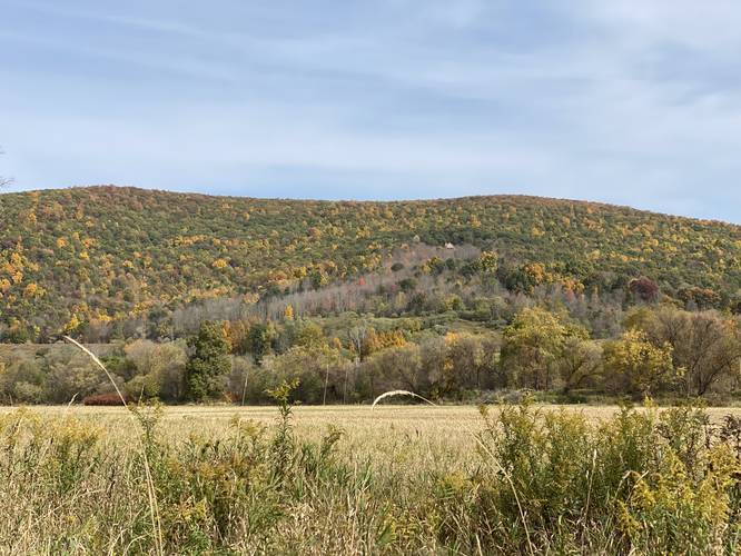
The Hike & Bike Trail at Lambs Creek Recreation Area in Mansfield, Pennsylvania is an easy 4.4-mile out-and-back trail that features beautiful views of the neighboring mountains along with access to the Lambs Creek Graffiti Bridge.
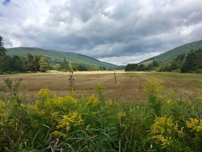
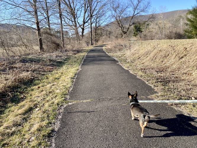
This short, easy, and flat-paved trail runs the length of Lambs Creek, following the floodplain fields of the Tioga River. This track begins at the southern-most parking lot at Lambs Creek and follows the Hike & Bike Trail north, following the detour signs, until the trail terminates roughly 2.3-miles to the north.
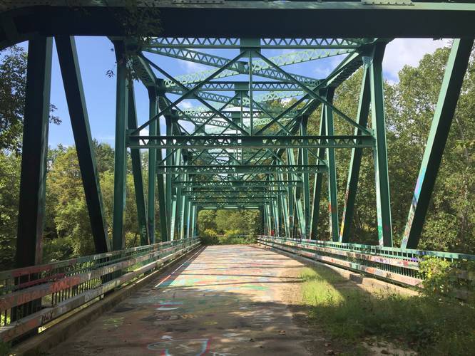
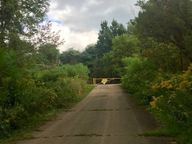
As of September 2019, this trail has a detour where it follows a wide road, encompassing a large field, before being redirected back to follow the trail near the road. This detour gives hikers and bikers access to the Lambs Creek Graffiti Bridge - a decommissioned bridge that local angst-y teenagers use to spread their knowledge to the world. Regardless of what graffiti exists on the bridge, the bridge sits above the Tioga River and it's a popular destination for locals to hike out to for a short adventure.
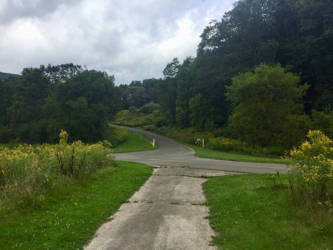
After visiting the graffiti bridge, the trail will head back towards the road, where the 2nd parking lot can be found, and then continues north.
The hike back is exactly the same as the hike in, minus the short spur trails to visit the graffiti bridge. This entire trek is about 4.4-miles out-and-back.
Biking
Biking is allowed on this trail.
Pets
Dogs are allowed if leashed and their waste must be carried out by the hiker.
Hunting
Hunting is allowed in certain areas in Lambs Creek Recreation Area, so hikers should wear blaze orange just in case.
Parking
Hikers and bikers can find parking at the coordinates provided, at the southern-most parking lot for Lambs Creek Recreation Area. Parking can also be found along the small spur located half-way along this trail. There's additional parking further north of the northern trailhead, but hikes and bikers will need to trek in a half-mile or so to reach the northern trailhead from those parking lots.
This short, easy, and flat-paved trail runs the length of Lambs Creek, following the floodplain fields of the Tioga River. This track begins at the southern-most parking lot at Lambs Creek and follows the Hike & Bike Trail north, following the detour signs, until the trail terminates roughly 2.3-miles to the north.
As of September 2019, this trail has a detour where it follows a wide road, encompassing a large field, before being redirected back to follow the trail near the road. This detour gives hikers and bikers access to the Lambs Creek Graffiti Bridge - a decommissioned bridge that local angst-y teenagers use to spread their knowledge to the world. Regardless of what graffiti exists on the bridge, the bridge sits above the Tioga River and it's a popular destination for locals to hike out to for a short adventure.
After visiting the graffiti bridge, the trail will head back towards the road, where the 2nd parking lot can be found, and then continues north.
The hike back is exactly the same as the hike in, minus the short spur trails to visit the graffiti bridge. This entire trek is about 4.4-miles out-and-back.
Biking
Biking is allowed on this trail.
Pets
Dogs are allowed if leashed and their waste must be carried out by the hiker.
Hunting
Hunting is allowed in certain areas in Lambs Creek Recreation Area, so hikers should wear blaze orange just in case.
Parking
Hikers and bikers can find parking at the coordinates provided, at the southern-most parking lot for Lambs Creek Recreation Area. Parking can also be found along the small spur located half-way along this trail. There's additional parking further north of the northern trailhead, but hikes and bikers will need to trek in a half-mile or so to reach the northern trailhead from those parking lots.