The Green Lake Loop at Green Lakes State Park in Fayetteville, New York is an easy and ultra-popular 2-mile loop hike that encompasses a glacial lake that
reflects vibrant shades of green and turquoise.
Popularity
This is by far one of the most-popular hikes in the Syracuse, NY / Fayetteville, NY area - thus you will likely see people on this trail unless you show up right when the park opens on a weekday. Weekends are generally jam-packed at Green Lakes State Park, especially during the warm months.
Universal Access
Note that most, if not all of the flat and wide section of the Green Lake Loop Trail should be considered universally-accessible. The trail is mostly-flat and comprised of dirt, crushed stone, or concrete (near the beach). For universal access, park at the beach to access the trail as this parking lot listed is not accessible-friendly and includes a staircase.
Hike Description
Note that the GPS data for this hike begins along the connecting trail between Green Lake and Round Lake after exploring the Round Lake Loop; however, most visitors will start this hike near the beach area (north part of Green Lake). The total mileage for the Green Lake Loop Trail is ~2-miles; however, this GPS recording covers the same section of trail twice to reach the parking via a staircase that connects to the Green Lake Loop, hence the 2.6-mile total.
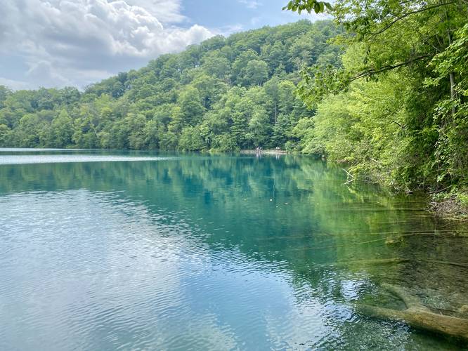
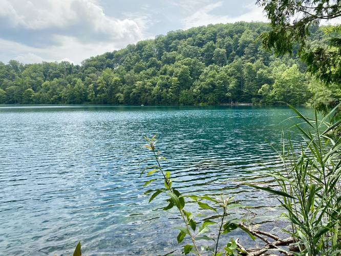
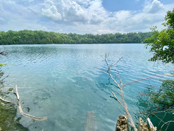
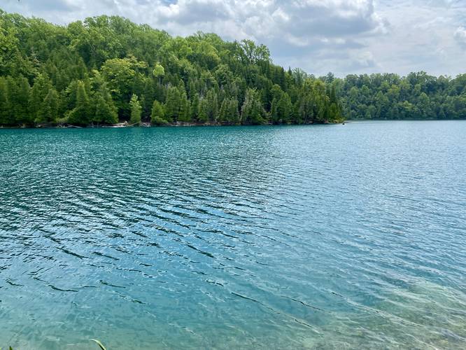
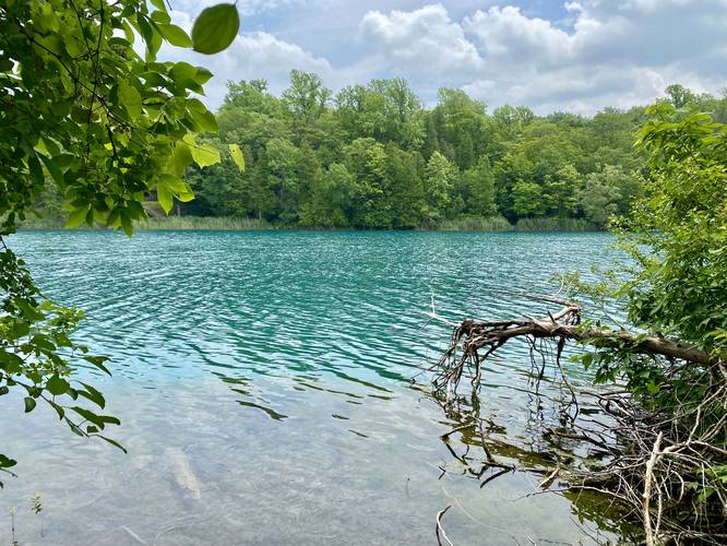
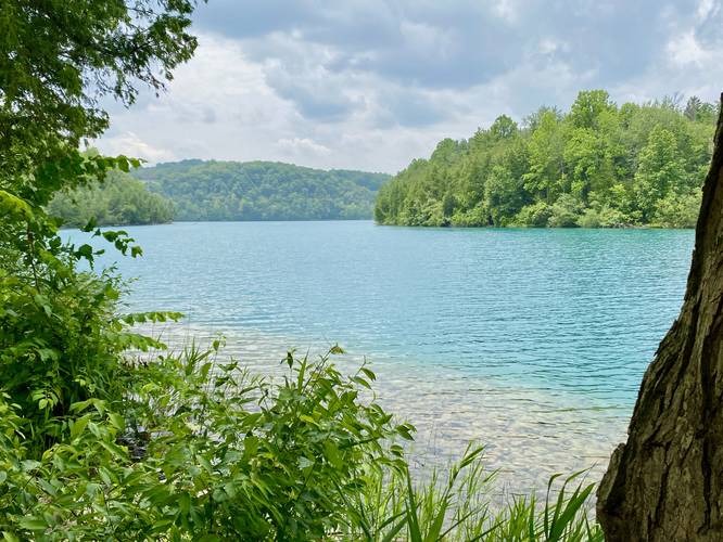
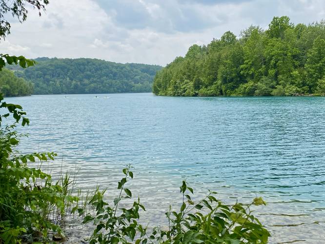
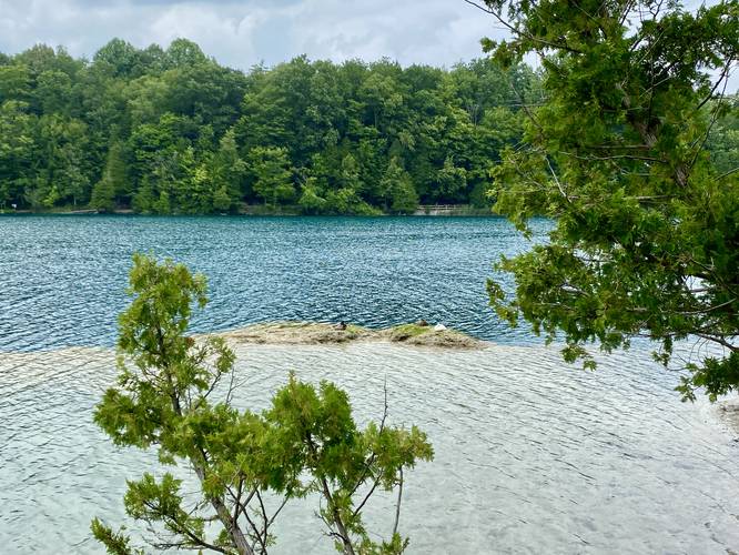
Views
Regardless of where you begin this hike, the views along the Green Lake Loop are generally pretty stunning, especially if you go on a sunny day. Hikers will find views almost everywhere along the trail, with the exception of some portions of the western-side of the loop. The trail itself is mostly-flat and wide with minimal elevation change along the way.
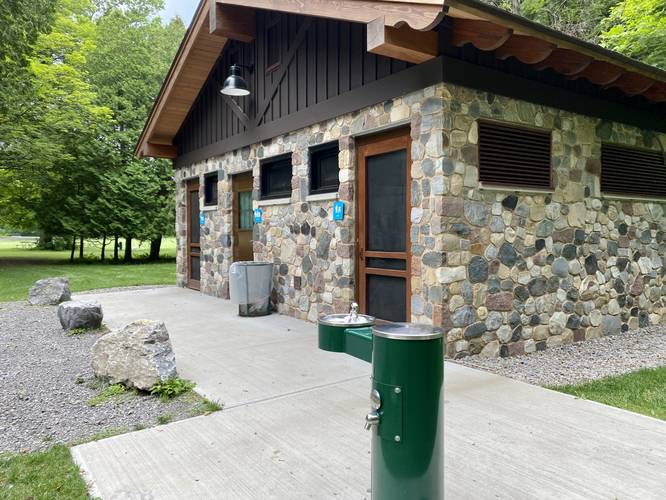
Amenities
The north side of the trail includes the beach area where hikers will find restrooms and park stores that sell drinks and food.
Parking
The GPS coordinates for parking here will bring hikers to a quiet parking lot at Green Lakes State Park, located between Round Lake and Green Lake. There are a couple of ways to reach the lakes from this parking lot, but neither are super obvious. If you wish, you can try parking near the Green Lake beach, which is by far the most-popular spot to park, and it gets crowded there quick. If you plan to park at the beach, follow park signs upon entry.
Pets
Dogs are allowed only if leashed and must be cleaned up after.
Fees
As of July, 2023 there's a $10 entry fee for vehicles at Green Lakes State Park.
Water Source
Hikers will find water stations throughout the park including stores where you can also buy bottled water.
Popularity
This is by far one of the most-popular hikes in the Syracuse, NY / Fayetteville, NY area - thus you will likely see people on this trail unless you show up right when the park opens on a weekday. Weekends are generally jam-packed at Green Lakes State Park, especially during the warm months.
Universal Access
Note that most, if not all of the flat and wide section of the Green Lake Loop Trail should be considered universally-accessible. The trail is mostly-flat and comprised of dirt, crushed stone, or concrete (near the beach). For universal access, park at the beach to access the trail as this parking lot listed is not accessible-friendly and includes a staircase.
Hike Description
Note that the GPS data for this hike begins along the connecting trail between Green Lake and Round Lake after exploring the Round Lake Loop; however, most visitors will start this hike near the beach area (north part of Green Lake). The total mileage for the Green Lake Loop Trail is ~2-miles; however, this GPS recording covers the same section of trail twice to reach the parking via a staircase that connects to the Green Lake Loop, hence the 2.6-mile total.
Views
Regardless of where you begin this hike, the views along the Green Lake Loop are generally pretty stunning, especially if you go on a sunny day. Hikers will find views almost everywhere along the trail, with the exception of some portions of the western-side of the loop. The trail itself is mostly-flat and wide with minimal elevation change along the way.
Amenities
The north side of the trail includes the beach area where hikers will find restrooms and park stores that sell drinks and food.
Parking
The GPS coordinates for parking here will bring hikers to a quiet parking lot at Green Lakes State Park, located between Round Lake and Green Lake. There are a couple of ways to reach the lakes from this parking lot, but neither are super obvious. If you wish, you can try parking near the Green Lake beach, which is by far the most-popular spot to park, and it gets crowded there quick. If you plan to park at the beach, follow park signs upon entry.
Pets
Dogs are allowed only if leashed and must be cleaned up after.
Fees
As of July, 2023 there's a $10 entry fee for vehicles at Green Lakes State Park.
Water Source
Hikers will find water stations throughout the park including stores where you can also buy bottled water.