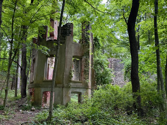
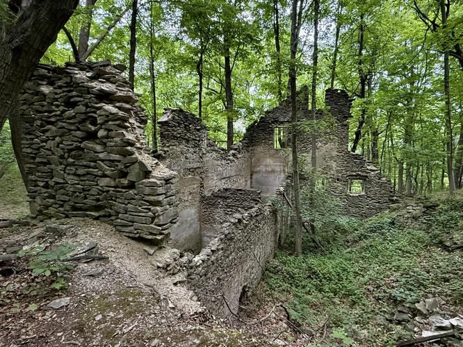
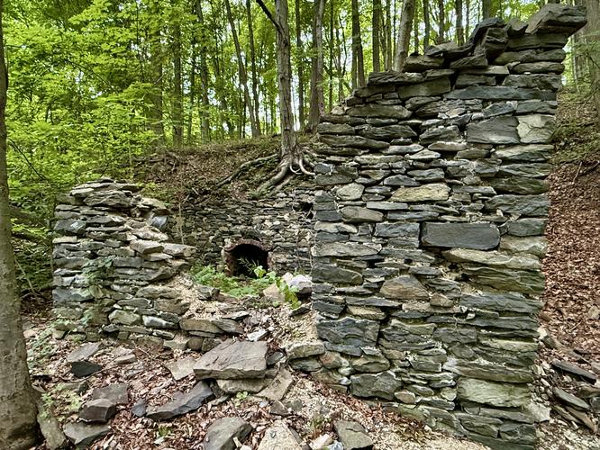
Located on the west side of the Hudson River in New York's Hudson Valley sits the quiet, but unique Franny Reese State Park with its Hudson River views and abandoned estate ruins.
This short and easy 1.8-mile out-and-back hike leads out to two overlooks above the Hudson River, one featuring the Mid-Hudson Bridge, and passes several abandoned ruins of an old estate.
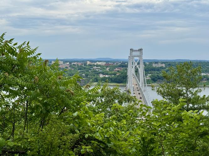
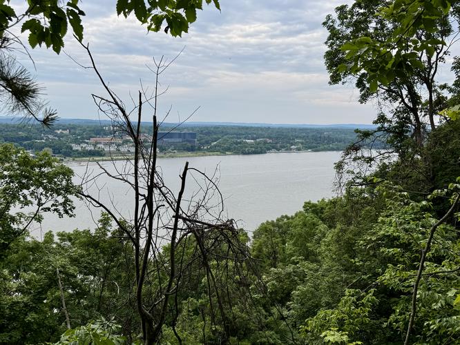
Follow the Yellow Trail as it bends around several curves before reaching an open meadow with a left-hand turn to the Blue Trail. The Blue Trail leads hikers in a loop and out to a viewpoint high above the Hudson River, located near mile 0.6. At the overlook sits the Mid-Hudson Bridge below your feet with its traffic humming to and from Poughkeepsie, New York.
This short and easy 1.8-mile out-and-back hike leads out to two overlooks above the Hudson River, one featuring the Mid-Hudson Bridge, and passes several abandoned ruins of an old estate.
Hiking to the Franny Reese Overlooks
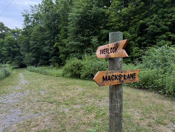
To start, the trailhead for Franny Reese State Park is located at the dead-end of a dirt entrance road on the corner of Macks Lane in Highland, NY and can be easily missed. There's just one trail that leads into the park and acts as the main artery for hikers, following the Yellow Trail as it slowly leads downhill.Follow the Yellow Trail as it bends around several curves before reaching an open meadow with a left-hand turn to the Blue Trail. The Blue Trail leads hikers in a loop and out to a viewpoint high above the Hudson River, located near mile 0.6. At the overlook sits the Mid-Hudson Bridge below your feet with its traffic humming to and from Poughkeepsie, New York.