The Fox Mountain Connector Trail near Austin, Pennsylvania is a moderate 3.1-mile trail. This route serves as a hiking link between the Sinnemahoning Valley Railroad Trail and the Fox Mountain Tower Road Trail. This trail transverses across a ridgeline that allows hikers to trek from the Susquehannock Sate Forest to the Elk State Forest using two township (low-volume) dirt roads; named Bush Hill Road and Ridge Road. Hikers must also cross over the Cowley Hill Road (a paved-roadway) during this trek.
Austin Dam Memorial Park envisions a "northern link" hiking trail connecting the Bucktail Path to the west near Sizerville State Park and the Susquehannock Trail System to the east. The Austin Dam Memorial Park being the mid-point between these two established State Forest trails. To accomplish this, a connector trail is necessary linking the Susquehannock Sate Forest to the Elk State Forest. The Fox Mountain Connector Trail is this link in the proposed trail system.
Trails
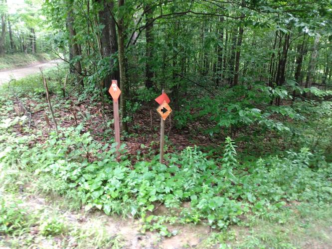
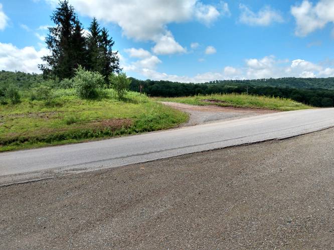
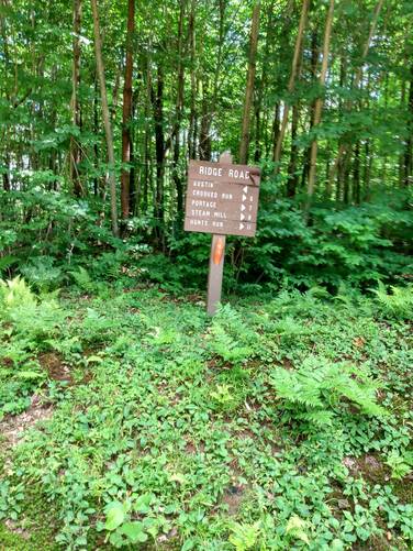
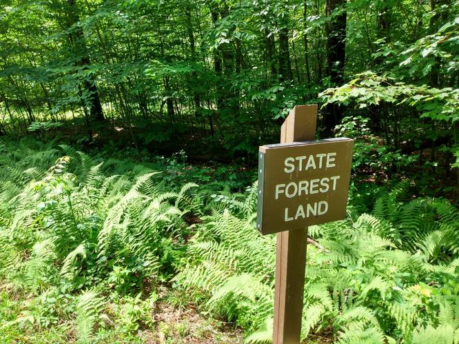
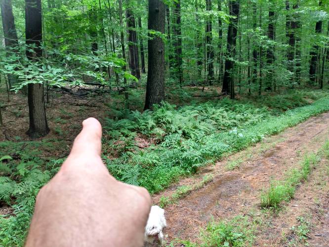
This trail begins on the Sinnemahoning Valley Railroad Trail (at mile 2.33 while hiking to the northwest) with a hairpin turn onto old abandon railroad grade that leads the hiker on a continuous easy-walking 1.2 mile climb to the southeast to a ridgeline junction with the Bush Hill Road (a dirt township road). At the Bush Hill Road junction, the hiker turns left to follow Bush Hill Road for about one mile out across the ridgeline to the southeast toward Cowley Hill Road (a paved highway). At this roadway intersection, the hiker must cross over the paved Cowley Hill Road to continue the hike on the Ridge Road (a dirt township road) that tracks onward on the ridgeline to the south. Once on Ridge Road continue south for about 1/2 mile and look for the inspection of East Cowley Run Road (a dirt township road). At this point, the hiker has entered into the Elk State Forest. The hiker turn right into the woods past the "State Forest" sign and staying slightly to the south of the white paint blaze markers and hike to the west. Look for the orange and pink ribbons to the follow the old forest path for about 1/2 mile to the southwest to intersect the Fox Mountain Tower Road Trail.
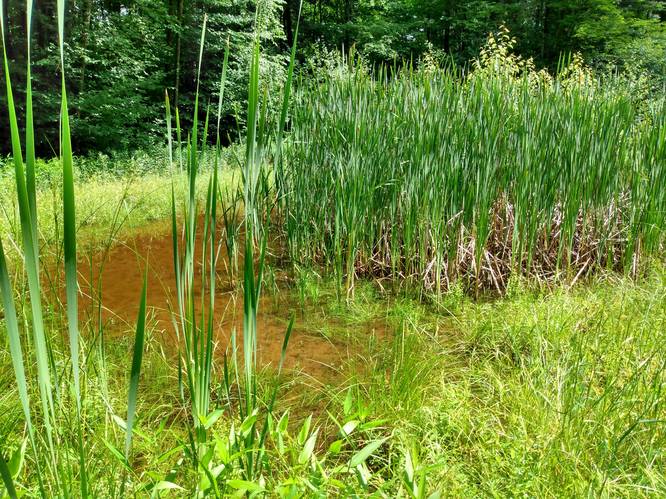
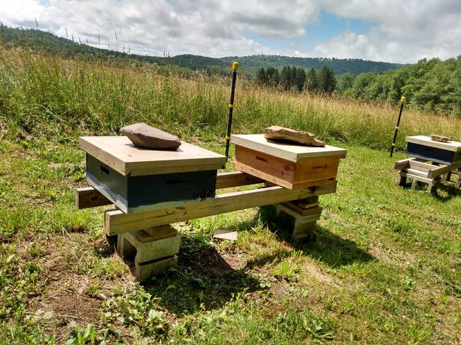
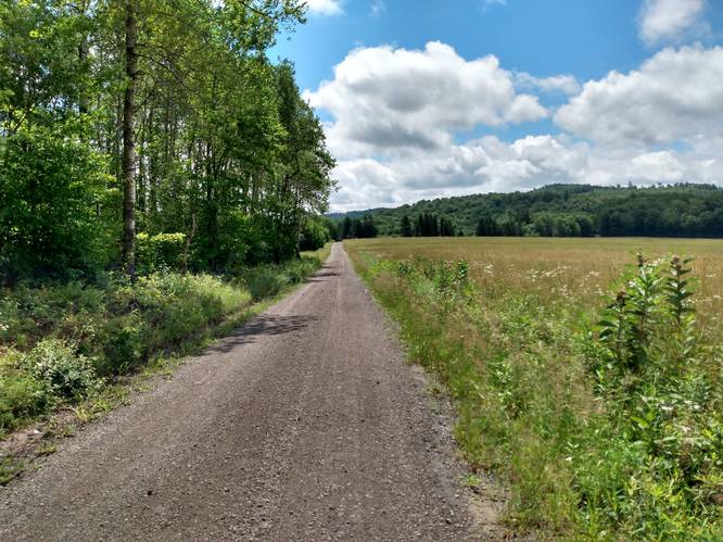
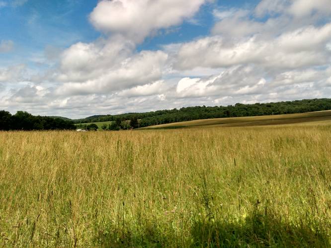
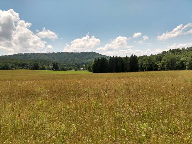
This gradually descending and ascending ridgeline trek leads the hiker generally in a southerly direction as it starts in the Susquehannock Sate Forest and finishes in the Elk State Forest . In addition to the scenic state forest trails of this hike, there is also plenty of hiker serendipity along the ridgeline township roadways including over a half-mile of pastoral vistas, a honey bee apiary and a cattail forest pool.
Sections of this hiking trail are also PA Wilds Area Snowmobile trails and are maintained by the Southern Potter Snowmobile Club.
Parking
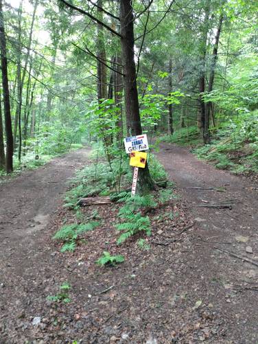
Hikers can find parking along the Bush Hill Road and Ridge Road. Also, see Sinnemahoning Valley Railroad Trail and the Fox Mountain Tower Road Trail for parking options on these trails. Another option is to park at Austin Dam Memorial Park and hike to Sinnemahoning Valley Railroad Trail using Jones Run Connector Trail and Gas Well Connector Trail as a connector routes.
Pets
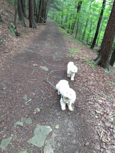
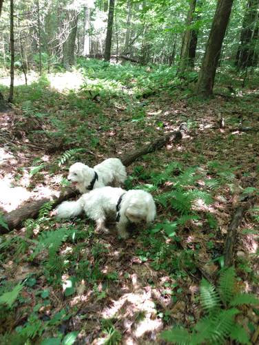
Dogs are allowed if leashed. This is a dog friend trail.
Camping and Backpacking
Backpackers are allowed to camp off-trail only within the Susquehannock State Forest and Elk State Forest sections of this route. For dispersed and primitive camping in the state forest, please follow the state forest rules and regulations and only camp on state lands.
Private Land
This trail crosses some private land to connect to the state forests. Please respect the land owners and stay on the trail at all times.
Sections of this trail are open to automobiles, trucks, snowmobiles and other motor vehicles. Hikers should use care, particularly on trail and roadway curves where oncoming traffic is not visible. Hikers must cross over the Cowley Hill Road (a paved-roadway) during this trek.