Loading...

🎉 Enjoy a Free 7-Day Supporter Trial and Unlock Exclusive Perks — No Credit Card Required. Learn more.

Orange Loop Trail

Directions
Map
Pictures
Send to App
Distance:
1.6 Miles / 2.6 km
Type:
Loop
Difficulty:
Easy
Time to Hike:
~48 minutes
Features:
Surface Type:
Dirt
Park:
Deer Lakes Park
Town:
Tarentum, Pennsylvania
Directions:
40.619003, -79.815224
Added:
August 08, 2015
Updated:
April 17, 2019
Copy Trail Link Hiking this trail? Send a friend or family member a link to this trail guide for your own safety. Hike at your own risk (disclaimer)
Loading...
Loading...
131'

Total Change
250'

Ascent
218'

Descent

Download the Trail Route for Offline Use

Supporters get exclusive access to download trail routes to the MyHikes app for offline use. Stay prepared on your adventure, even without an internet connection! Become a Supporter today to unlock this feature and hike with confidence.

Send to App

Orange Loop Trail

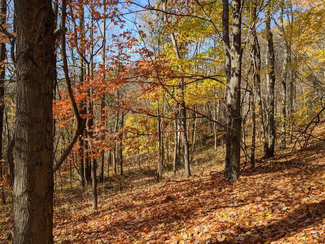
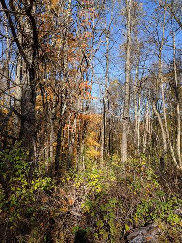
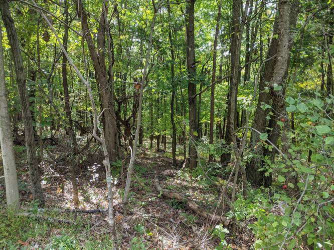
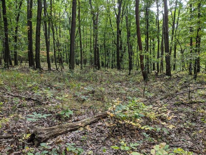
The Orange Loop Trail at Deer Lakes Park in Tarentum, Pennsylvania is an easy 1.6 mile hike through the park. The Orange Loop Trail lies on the eastern side of Deer Lakes Park and is accessible from 2 trailheads found at the parking location listed for this trail under 'Get Directions'. You can also connect to the Purple Loop Trail in the southwest portion of this trail and the White Trail from the eastern portion.

During the summer, this trail can be overgrown in places where there isn't much shade from the trees, which can make it difficult to complete the loop. Biking and dogs are both allowed on this trail.
Explore 223 trails near Tarentum, PA
  1. Parking

    40.619003, -79.815224
  2. Main Trailhead

    40.618817, -79.814945
  3. Near parking lot

    40.617956, -79.812936
    Near parking lot
  4. Branch off Orange Trail

    40.618761, -79.811731
    Branch off Orange Trail
  5. Orange Trail 3

    40.623, -79.814
    Orange Trail 3
  6. Orange Trail 4 - nearer Kurn Rd

    40.623, -79.813
    Orange Trail 4 - nearer Kurn Rd
No community routes found. To add your own hike as a Community Route for this Trail guide, leave a Trip Report with an attached GPX file.

Hazards

Ticks - Lyme Disease More Info (CDC)

Season

Summer

Blaze Color

Orange

Trip Reports

Trail Guide By:
Admin user profile picture
1.6 miles / 2.6 km
1.6 miles / 2.6 km
October 31, 2020
We've.traversed this trail twice now. Easy to moderate difficulty. Beautiful. Great photo opportunity. Easy access from several points including from Wagman Observatory. Look also for the old water tower.
Hiking
1.6 miles / 2.6 km
August 16, 2020
Hiking
1.6 miles / 2.6 km
April 13, 2019
Dogs Hiking
1.6 miles / 2.6 km
April 13, 2019
Dogs Hiking

Weather Forecast

In Tarentum, PA

Explore Hiking Trails

You May Also Like

Colorado's Million Dollar Highway - Plan a day's drive adventure along the iconic Million Dollar Highway in Colorado. Explore the best short trails, roadside stops, waterfalls, vistas, ghost towns, and hot springs within a ~6 hour road trip.
Explore

Colorado's Million Dollar Highway

Plan a day's drive adventure along the iconic Million Dollar Highway in Colorado. Explore the best short trails, roadside stops, waterfalls, vistas, ghost towns, and hot springs within a ~6 hour road trip.

Read
New York's Best Waterfalls - Whether you're planning a day hike, roadside stop, or a leisurely short walk, this guide provides hikers, travelers, and locals alike with 63 different locations to over 100 scenic waterfalls to help plan your next adventure!
Explore

New York's Best Waterfalls

Whether you're planning a day hike, roadside stop, or a leisurely short walk, this guide provides hikers, travelers, and locals alike with 63 different locations to over 100 scenic waterfalls to help plan your next adventure!

Read

Before you boogie...

Find our trail guides useful? Consider becoming a Supporter to unlock perks!

MyHikes is an indie platform that makes exploring public trails easier for everyone. The platform has no investors, no ads, and is owned and operated by one person, Dave Miller. Dave has personally mapped and written over 1,800 trail guides on MyHikes for the public to explore. MyHikes has helped millions outdoor enthusiasts plan their next adventure.

But it takes a lot of time 🕦, money 💰, work, and espresso shots ☕ to run MyHikes, including hiking , mapping , writing , and publishing new trails with high-quality (accurate) information... along with software engineering (coding) the platform like building new features, website and mobile app development (iOS and Android), site maintainance . and much much more.

Supporters unlock website and mobile app perks with an annual one-time payment of $25 (you renew) 😎👍. Or you can simply make a Donation of your choice. Otherwise, you can support us by telling your friends about MyHikes - both quick and free 🎉

Admin user profile picture

Dave Miller
MyHikes Founder