The Breakneck Ridge Loop Trail near Beacon, New York, is a strenuous 3.7-mile hike up to an amazing lookout point high above the Hudson River. Breakneck Ridge is a great day trip from New York City and the surrounding areas.
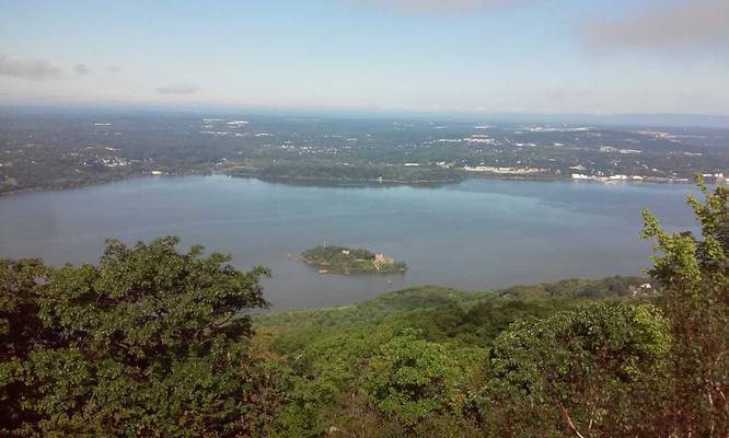
The trail starts on the white-blazes at the southern end of the parking area just north of the tunnel and heads south, almost immediately reaching a viewpoint over the Hudson River to the left of the trail. The trail leads west to red blazes and finally to yellow blazes heading down the mountain.
This trail involves steep climbs over rock ledges that can be very slippery when wet. You'll need to use both your hands and your feet in many places along the way. Proper footwear is essential for this hike, which is best done on weekdays, to avoid the large crowds on the weekends. Do not attempt this hike in wet weather, or if the trail is covered with snow or ice.
Dogs are allowed, but consider leaving them at home if you don't think you can handle the rock scrambles with them.
Click here for more details.
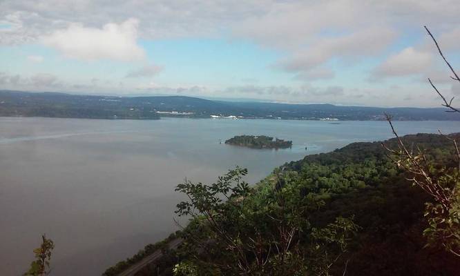