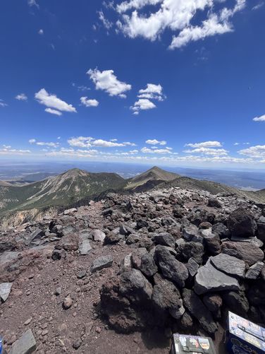
10.1 mi Strenuous Out-and-Back Add to Trailmix: Log in to create a Trailmix What are Trailmixes? Humphreys Peak Trail Flagstaff, Arizona 0
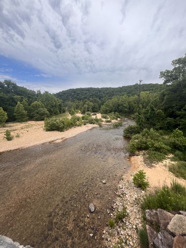
8.8 mi Hard One-Way Add to Trailmix: Log in to create a Trailmix What are Trailmixes? Current River Challenge Hike Eminence, Missouri 0
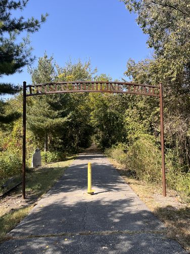
6.0 mi Easy One-Way Add to Trailmix: Log in to create a Trailmix What are Trailmixes? Frisco Highline Trail (Springfield to Willard) Springfield, Missouri 0
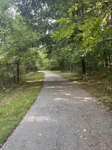
8.3 mi Easy Out-and-Back Add to Trailmix: Log in to create a Trailmix What are Trailmixes? Wilson's Creek Greenway (Tal's to Rutledge Wilson Farm Park) Springfield, Missouri 0
1.7 mi Moderate One-Way Add to Trailmix: Log in to create a Trailmix What are Trailmixes? Old Wire Road Trail Brookline Township, Missouri 0