3.8 mi Moderate Loop Add to Trailmix: Log in to create a Trailmix What are Trailmixes? Dripping Rock Trail Lewis Center, Ohio 0
2.1 mi Moderate Out-and-Back Add to Trailmix: Log in to create a Trailmix What are Trailmixes? Highbanks Overlook Trail Lewis Center, Ohio 0
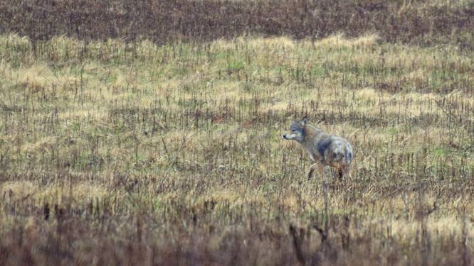
3.4 mi Easy Out-and-Back Add to Trailmix: Log in to create a Trailmix What are Trailmixes? Coyote Run Trail Lewis Center, Ohio 0
5.1 mi Easy One-Way Add to Trailmix: Log in to create a Trailmix What are Trailmixes? Darby Creek Greenway Trail (South) Galloway, Ohio 0
1.3 mi Easy One-Way Add to Trailmix: Log in to create a Trailmix What are Trailmixes? Highbanks Multi-Use Trail Lewis Center, Ohio 0
2.0 mi Easy Loop Add to Trailmix: Log in to create a Trailmix What are Trailmixes? Spring Creek Trail Westerville, Ohio 0
1.1 mi Easy Loop Add to Trailmix: Log in to create a Trailmix What are Trailmixes? Big Meadows Path Powell, Ohio 0
3.8 mi Moderate Loop Add to Trailmix: Log in to create a Trailmix What are Trailmixes? Sharon Woods Multipurpose Trail Westerville, Ohio 0
2.6 mi Moderate One-Way Add to Trailmix: Log in to create a Trailmix What are Trailmixes? Cemetery Ridge Trail Rockbridge, Ohio 0
2.8 mi Moderate One-Way Add to Trailmix: Log in to create a Trailmix What are Trailmixes? Ironweed Trail Dublin, Ohio 0
3.5 mi Moderate One-Way Add to Trailmix: Log in to create a Trailmix What are Trailmixes? Dyer Mill Ski Trail Galloway, Ohio 0
4.3 mi Easy Loop Add to Trailmix: Log in to create a Trailmix What are Trailmixes? Marsh Hawk Trail Plain City, Ohio 0
_20180203235739UTC_small.jpg)
_20180204000115UTC_small.jpg)
_20180309150632UTC_small.JPG)


