Loading...

📌 Love our trails? Set MyHikes as your preferred Google source. Add Now ⛰️

White Ledge Loop Trail

Trail name(s)

White Ledge Loop Trail

Location

2206 NH Route 16, White Ledge Campground, White Mountain National Forest, Albany NH. 

Permitted uses

Hiking, Nature Study, Camping in designated camping sites

Prohibited uses

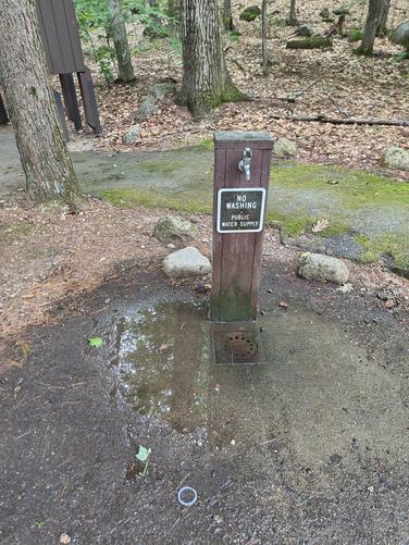
No Fireworks, No washing at the public water supply, No drones, No damage to live or standing trees, No fires outside of designated fire rings. No marijuana usage. Do not feed wildlife, store all food with bear safety in mind. No motorized vehicles on the trail.

Hours

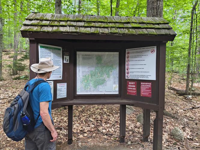
There are no posted hours at the information Kiosk.

Fees and Parking

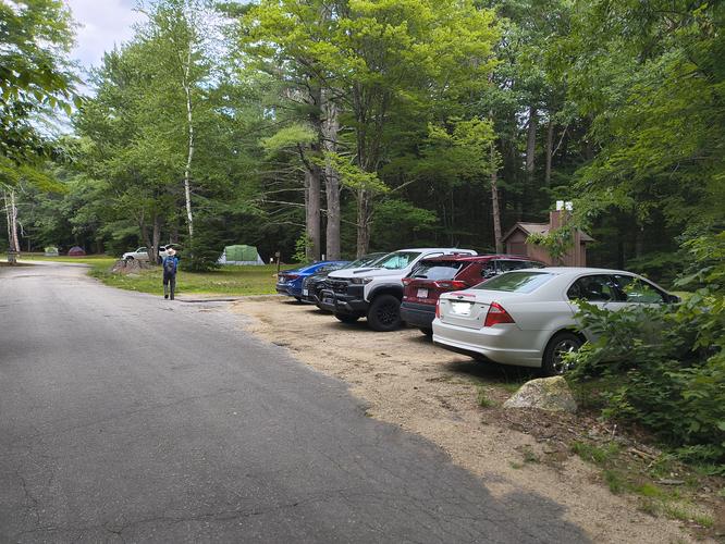
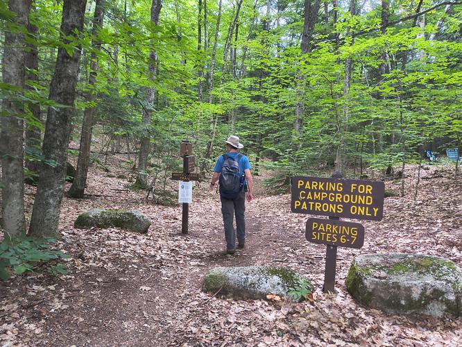
Parking for day hikers is free but limited to 5 very tightly packed spaces and one parking space reserved for handicapped visitors. If other day visitors don't park with consideration for others, then the parking will be further limited. There are parking spaces at each campsite for those wishing to camp as well as hike. Camping is subject to availability and a fee is charged. There is no fee to use the trail.

Pets

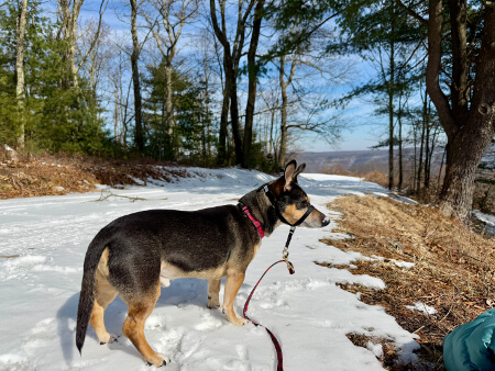
Dogs and cats are allowed but must be kept on a leash no longer than 6 feet in length. 

Accessibility

This hike is not wheelchair accessible.

Hiker amenities

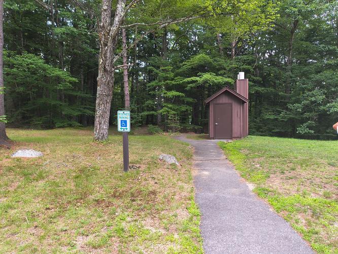
There is an information Kiosk with a posted map. The map is not useful as a trail map due to the fact that it is a map of the entire White Mountain National Forest. There are several restrooms available near the parking area and potable water. There are no trash bins. Please carry out all the trash you create or find. 

Length and Trail information

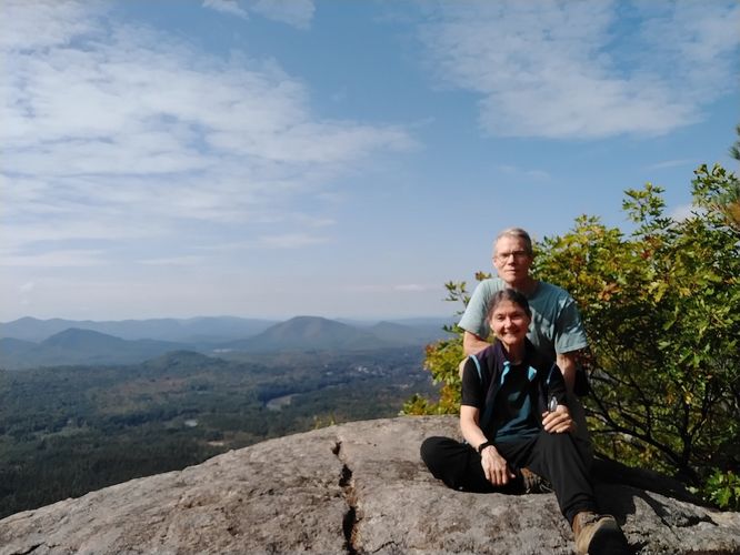
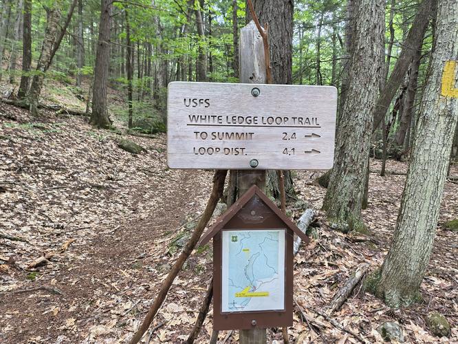
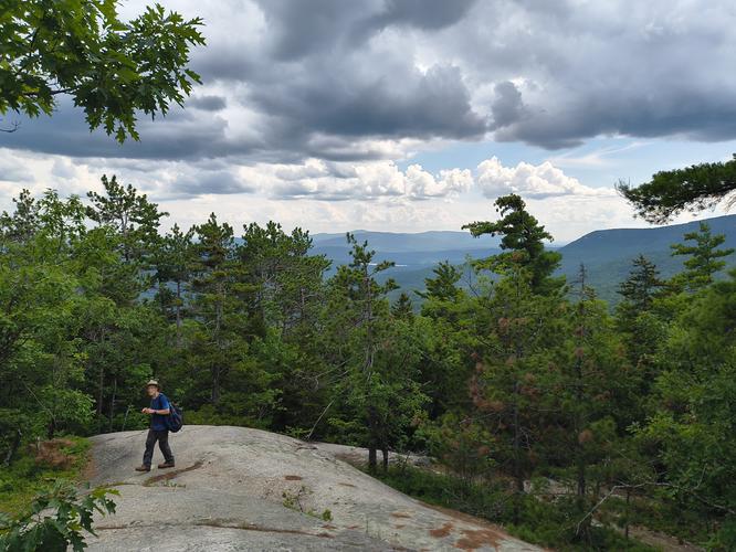
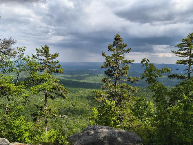
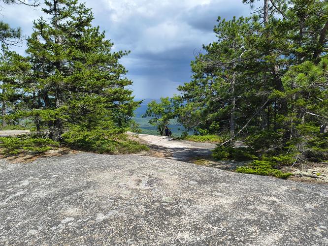
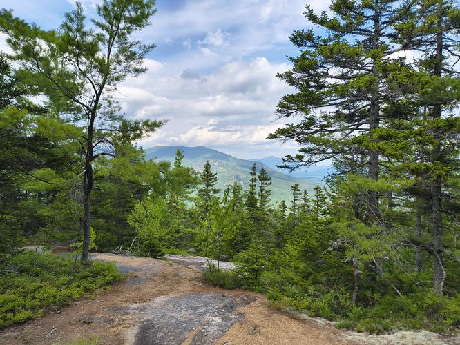
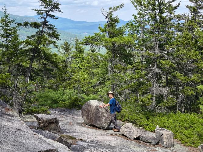
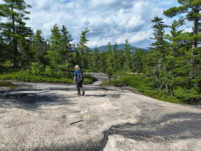
This hike was done as a loop and was roughly 4.29 miles in length. The trail is marked with a yellow blaze. The trail entrance is located near camping sites 6 and 7 so hikers need to park near the entrance and walk along the paved road through the camping area to access the trail. The hike is considered to be moderate, rising to the top of White Ledge at approximate 2019 feet.  Our goal for this hike was to reach White Ledge to enjoy the views of the surrounding mountains. The hike began through a mixed dense forest with a typical forest substrate of roots and rocks. We reached the junction of the White Ledge Loop Trail where we found an engraved wooden sign and a useful trail map posted. We chose to hike the trail in a counter clockwise fashion. Our reasoning behind this was to hike the steepest parts of the trail while we were fresh and not tired, thus avoiding having to deal with the stresses on knees and feet that a steep descent can often bring.  During our hike we forded a small stream, climbed over some rock ledges and enjoyed some views wherever the trees were sparse enough to allow. The top of White Ledge is not marked well. There is no sign posted or cairn installed to let you know you have reached your destination. We figured out we were there by noticing the ledge view off of the large open rock plaza. We did a bit of exploring and determined that the small ledge was most likely the best view we were going to have at the elevation of around 2000 feet. We took a short break and then headed back to the trail and started heading down. The trail was narrow and flanked on either side with blueberry bushes that sadly were devoid of fruit. We took our time down some of the steeper rocky areas and saw some interesting boulders. We came upon another large open rock plaza and noticed large rock cairns had been installed to help hikers stay on the trail. It wasn't long before we were down into the forest again enjoying the coolness that the shade from the tree canopy provided. We continued through the forest along the trail and made our way back to the junction and then back to our vehicle.  This was a challenging hike with decent views along the way as well as at the ledge and it was a great way to spend an afternoon.
Explore 31 trails near Albany, NH

Know Before You Go

  • Free day-use parking at White Ledge Campground is restricted to just 5 tightly packed spaces (plus 1 accessible spot). Arrive early or hike off-peak to secure a spot without a fee.
  • The trail starts near campsites 6 and 7. After parking, walk down the paved campground road to reach the trailhead junction, where you’ll find an accurate, localized trail map.
  • This moderate 4.3-mile loop (elevation ~2,019 ft) features rocky climbs and un-marked ledge summit views. Hiking counter-clockwise lets you handle the steepest ascents early, saving your knees on the way down.
Interactive topographic map for White Ledge Loop Trail located in Albany, NH. Click the "View Map" button to load GPS coordinates and trail markers.
Get directions
Distance
4.3 mi
Difficulty
Moderate
Type
Loop
Est. Time
2.8 hrs
Elev. Gain
1,452'
Rating
0.0
Added
August 12, 2026
Updated
October 28, 2026

Weather Forecast

Don't let Google decide who you trust.
Loading...
Total Change
1,285 ft.
392 m
Ascent
1,452 ft.
443 m
Descent
1,471 ft.
448 m
Loading...

Download the GPX Data for Offline Use

Supporters get exclusive access to download trail routes to the MyHikes app for offline use. Stay prepared on your adventure, even without an internet connection! Become a Supporter today to unlock this feature and hike with confidence.

Download White Ledge Loop Trail GPX Data to the MyHikes Mobile App

Features

Vista / Lookout Point
Dogs
Mountain Summit

Points of interest

  1. Parking

    43.953894, -71.214014
  2. Main Trailhead

    43.953872, -71.214355
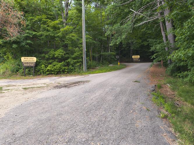
  3. Entrance to White Ledge Campground from Route 16

    43.9533, -71.2134
    Entrance to White Ledge Campground from Route 16
  4. Entrance to White Ledge Campground

    43.9534, -71.2136
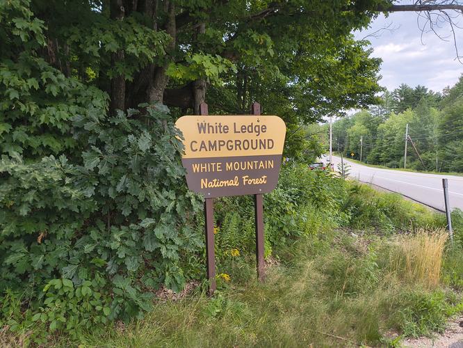
    Entrance to White Ledge Campground

Safety information

For your own safety: plan ahead, let someone know where you'll be, and hike at your own risk.

Hazards

Poison Ivy or Poison Oak
Rockfalls, Ledges, or Scrambles

Markers

Blaze Color

Yellow

Blaze Dot Color

Yellow

Availability

All seasons

Surface type

Dirt

Trip Reports (Reviews)

Your opinion matters! Be the first to rate this trail.

Ready to help fellow hikers? Add a trip report to share your experience!

No community routes found. To add your own hike as a Community Route for this Trail guide, leave a Trip Report with an attached GPX file.

Explore Autumn Foliage

No Change
Some Color
Low Color
Moderate Color
High Color
Peak Color
Past Peak

Sept 1 Sept 8 Sept 15 Sept 22 Sept 29 Oct 6 Oct 13 Oct 20 Oct 27 Nov 3 Nov 10 Nov 17 Nov 24

Find Hiking Trails Near Me

You may also like

Colorado's Million Dollar Highway - Plan a day's drive adventure along the iconic Million Dollar Highway in Colorado. Explore the best short trails, roadside stops, waterfalls, vistas, ghost towns, and hot springs within a ~6 hour road trip.
Explore

Colorado's Million Dollar Highway

Plan a day's drive adventure along the iconic Million Dollar Highway in Colorado. Explore the best short trails, roadside stops, waterfalls, vistas, ghost towns, and hot springs within a ~6 hour road trip.

Read
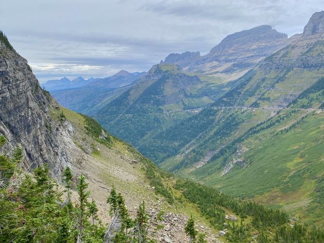
Glacier's Going-to-the-Sun Road - Discover the breathtaking beauty of Glacier National Park along the iconic Going-to-the-Sun Road. From stunning roadside stops to picturesque waterfalls and vistas, this engineering marvel offers endless opportunities for exploration.
Explore

Glacier's Going-to-the-Sun Road

Discover the breathtaking beauty of Glacier National Park along the iconic Going-to-the-Sun Road. From stunning roadside stops to picturesque waterfalls and vistas, this engineering marvel offers endless opportunities for exploration.

Read
🍪 We use cookies to learn about site usage and to serve map tiles. You may block cookies manually in the browser. By continuing you agree. Learn more