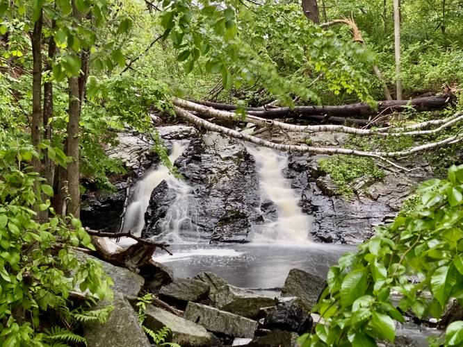
Webhannet Falls Trail at Webhannet Falls Park in Wells, Maine is an easy 0.1-mile out-and-back walk that leads through a small park located off of Route 1 that features a beautiful 12-foot tall waterfall.
This 12-foot waterfall cascades down Webhannet River and is about 15-feet wide at its base. The trail connects the parking lot to Route 1, which is no more than 200-feet long or 400-feet out-and-back. Access to the base of the waterfall is only permitted to fisherman and lies on private property as of 2022.
Parking
Visitors will find a small parking lot along Falls Park road. The lot is large enough for just a few vehicles.
Private Property, Fishing-Only
As of 2022, the tract of land that Webhannet Fall sits on is technically private; however, the land owner has granted fisherman permission to fish within the river. All other visitors should stay on the paved trail.
Pets
Dogs are allowed if leashed and their waste should be carried out.