The Waltham Western Greenway Trail is a 7.3-mile one-way trail located in Waltham, Massachusetts that passes through multiple parks and conservation areas and eventually ends in Belmont, Massachusetts.
This recording starts at the Storer Conservation Area in Waltham where you can also find parking. The Western Greenway Trail starts by following the Hemlock Trail at Storer Conservation for about 0.4-miles before the you hit the Western Greenway. Please note that this recording also includes additional spur trails that lead out from the Western Greenway Trail that connect to different neighborhoods along the way.
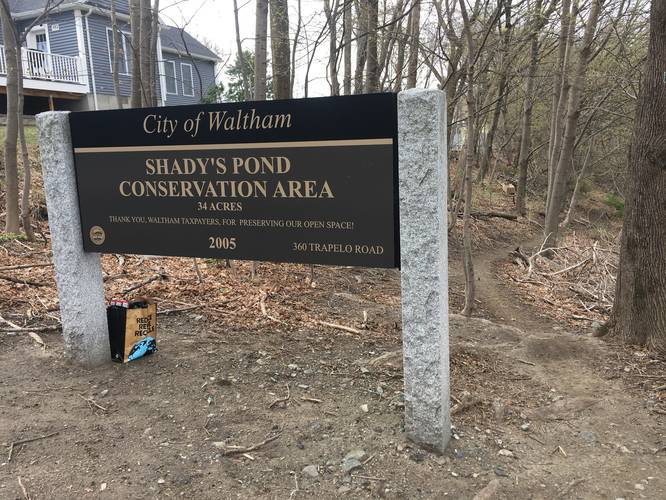
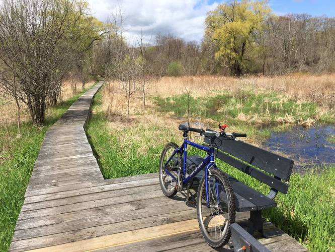
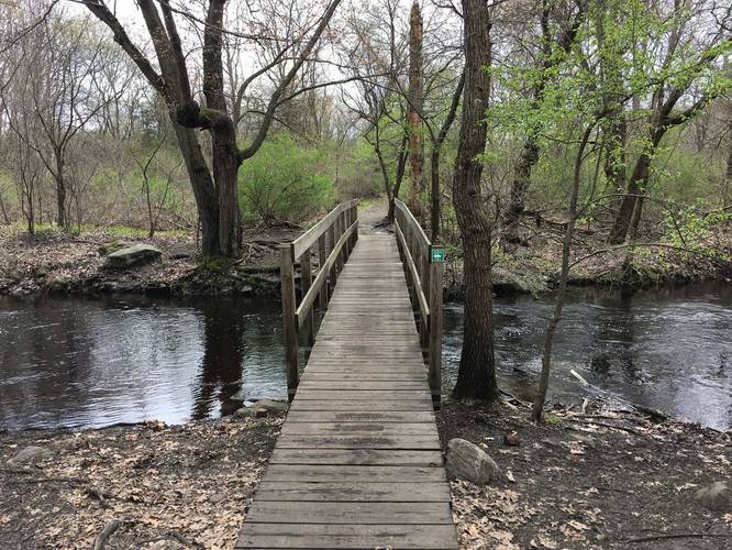
The trail follows the Chester Brook Corridor and offers views of Chester Brook and small ponds along the way. Any place where you need to cross a stream or wet area there are well maintained bridges. After passing through Chesterbrook Woods the trail crosses Jack's Way where it then cuts through the woods of the Waltham Public Schools property. Shortly after passing through the public schools' woods, the trail then cuts across the Shady Pond Conservation Area before crossing Trapelo Road.
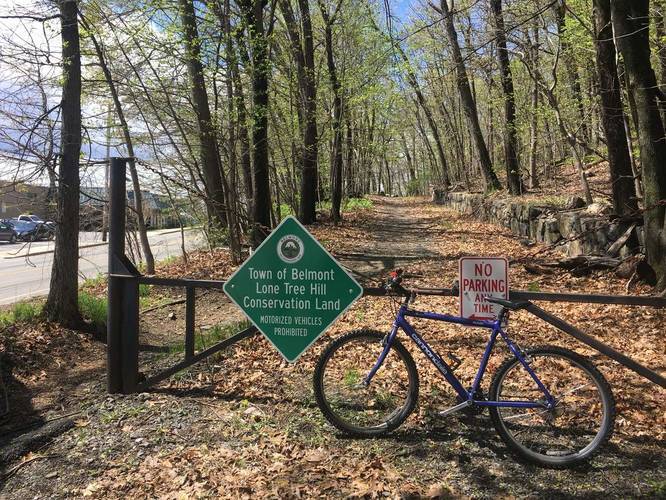
After the trail crosses Trapelo Road, about 3-miles into the trek, you'll start in James P. Falzone memorial Park before passing through the Beaver Brook North Reservation for about 2.5-miles. After leaving the Beaver Brook Conservation Area, the trail passes through Rock Meadow Conservation Area before the trail ends at Pleasant Street in Belmont, Massachusetts.
Biking: While you can bike this trail there are many rocks and roots on the western portion of the trail. Portions of this trail are relatively steep and narrow. It is not for street bikes.
Additional Parking at James P. Falzone Memorial Park: 901 Trapelo Rd, Waltham, MA 02452
Dogs are allowed on this trail.
This recording starts at the Storer Conservation Area in Waltham where you can also find parking. The Western Greenway Trail starts by following the Hemlock Trail at Storer Conservation for about 0.4-miles before the you hit the Western Greenway. Please note that this recording also includes additional spur trails that lead out from the Western Greenway Trail that connect to different neighborhoods along the way.
The trail follows the Chester Brook Corridor and offers views of Chester Brook and small ponds along the way. Any place where you need to cross a stream or wet area there are well maintained bridges. After passing through Chesterbrook Woods the trail crosses Jack's Way where it then cuts through the woods of the Waltham Public Schools property. Shortly after passing through the public schools' woods, the trail then cuts across the Shady Pond Conservation Area before crossing Trapelo Road.
After the trail crosses Trapelo Road, about 3-miles into the trek, you'll start in James P. Falzone memorial Park before passing through the Beaver Brook North Reservation for about 2.5-miles. After leaving the Beaver Brook Conservation Area, the trail passes through Rock Meadow Conservation Area before the trail ends at Pleasant Street in Belmont, Massachusetts.
Biking: While you can bike this trail there are many rocks and roots on the western portion of the trail. Portions of this trail are relatively steep and narrow. It is not for street bikes.
Additional Parking at James P. Falzone Memorial Park: 901 Trapelo Rd, Waltham, MA 02452
Dogs are allowed on this trail.