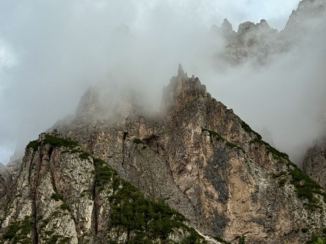
Tucked behind the bustling alpine village of Sëlva in Val Gardena lies one of the most enchanting U-shaped glacial valleys in the Dolomites: the Vallunga (or Langental).
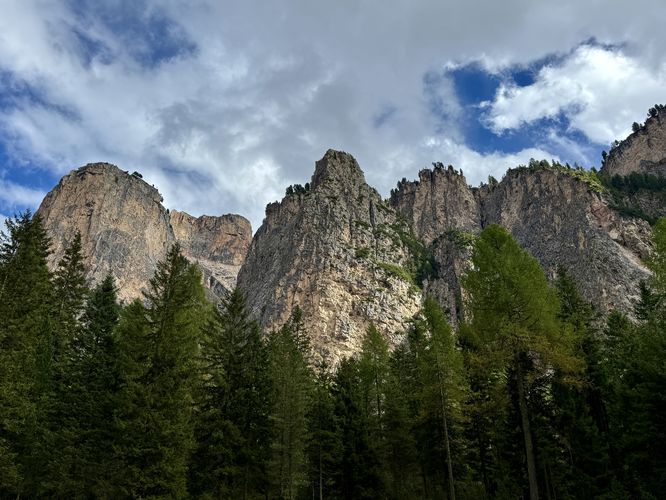
This accessible 6.8 km (4.2 mile) out-and-back hike leads you through a mostly-flat, emerald valley floor flanked by towering limestone walls. As you leave the Streda Val road, the noise of the town fades, replaced by the melodic chiming of cowbells and the wind rustling through evergreen trees. From the historic Cappella di San Silvestro to the towering face of Col Turond, this trail offers a perfect, gentle hike into through alpine scenery of South Tyrol.
The trail continues to wind through the valley as it slowly climbs uphill, passing evergreen trees and towering alpine cliffs and peaks before it reaches a scenic "viewpoint" near 1.4 km where, if you look south toward the trailhead, you'll find a nice view of the trail as it curves through the landscape.
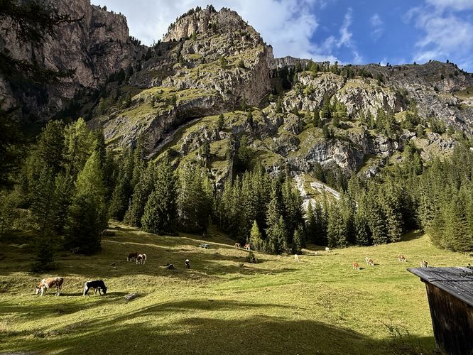
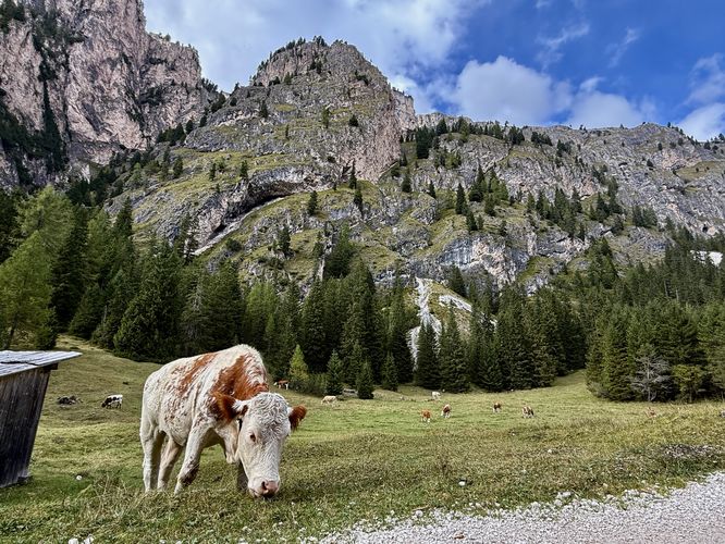
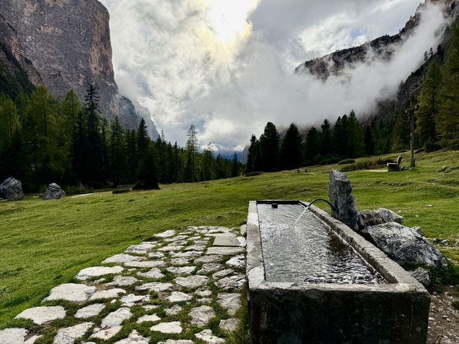
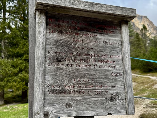
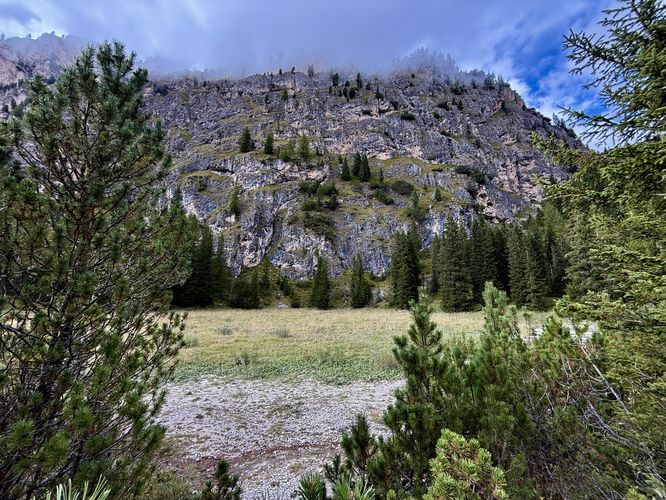
Located a bit further up the trail, near 1.8 km are open pastures where livestock, like cows, may be found grazing in the meadows. During our hike, we found a group of cows here, but they might be found elsewhere along the hike as they migrate to find the best grass to eat and water troughs to drink from. Despite the possibility to find cows in the alpine valley here, hikers will find massive curved caves that sit high above the valley on the steep cliffs of the nearby alpine peaks and ridges. These caves, while likely void of much life, are a neat find along the hike.
One more fascinating point-of-interest along the hike is the historic limestone kiln, located near 1.9 km from the trailhead. This old kiln, which is essentially a hole in the ground, built up by a rock wall, sits just off-trail. Hikers will find a historical sign that explains its existence - in the 1870 Selva locals wanted to enlarge their church, so they built this limestone kiln to aid in the process. The kiln was used until 1950 and then restored in 1994.
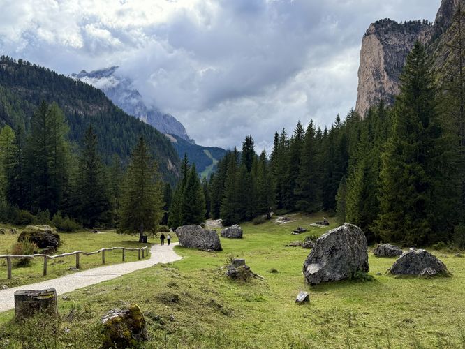
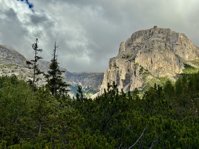
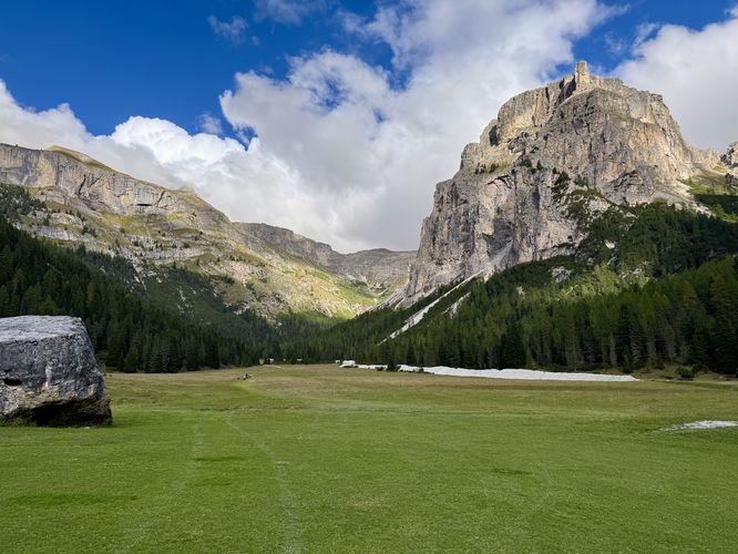
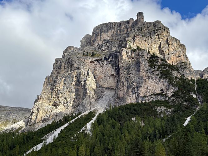
Hikers will eventually leave the livestock area, defined by an electric fence near the 2.6 km mark. Just before you leave the livestock grazing area, you'll find distant views of the towering alpine peak of Col Turond and more limestone cliffs overhead. During snow melt seasons, you might also find a seasonal pond that sits near 2.45 km.
This accessible 6.8 km (4.2 mile) out-and-back hike leads you through a mostly-flat, emerald valley floor flanked by towering limestone walls. As you leave the Streda Val road, the noise of the town fades, replaced by the melodic chiming of cowbells and the wind rustling through evergreen trees. From the historic Cappella di San Silvestro to the towering face of Col Turond, this trail offers a perfect, gentle hike into through alpine scenery of South Tyrol.
Trail Overview: A Hike Through the Long Valley (Vallunga)
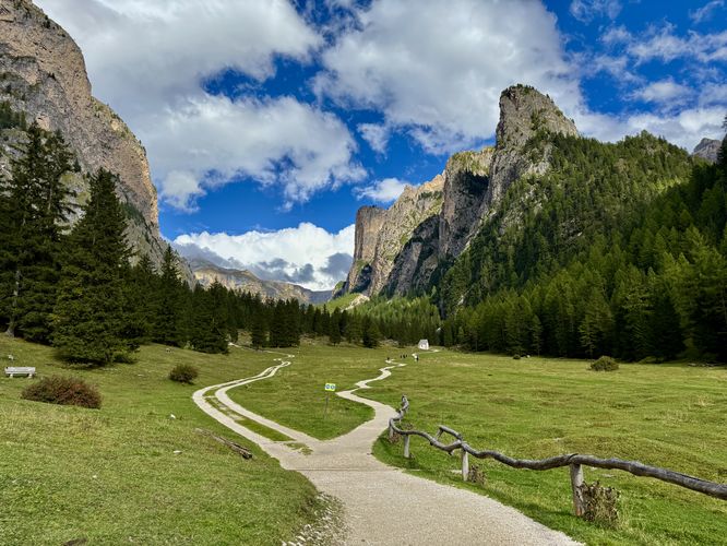
This hike begins at the very end of Streda Val where hikers will find parking at the main parking lot or along the road as you drive in. At the trailhead, hikers will find a breathtaking alpine valley with the Vallunga Trail passing below towering limestone cliffs and peaks. Enjoy the scenery and use the nearby trail maps to plan your adventure through the valley.The Trailhead: Leaving Selva for San Silvestro - 0 to 0.4km
After leaving the trailhead area, the hike leads along the designated hiking trail as it runs through the alpine valley to reach the Cappella di San Silvestro (Chapel of San Silvestro). At the chapel, if it's open, visitors will find frescoes inside, but on the exterior are photo opportunities to capture this quaint alpine valley chapel with towering peaks overhead.Alpine Serenity: Wandering Through Pastures & Peaks
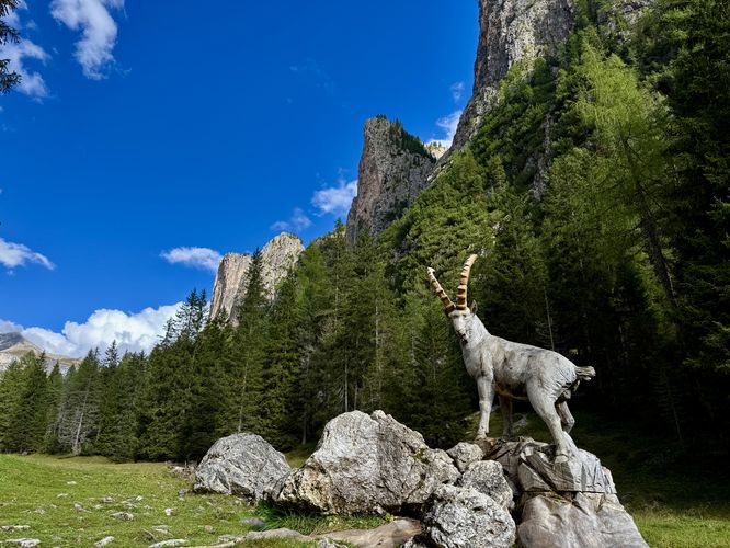
After leaving the chapel, the trail continues to lead up the valley as it ascends along an easy grade. Just beyond the chapel, near 0.6 km, sits an Ibex statue, carved from a tree stump. While chances for seeing wildlife, like Ibex, on this trail is higher than in other locations the Ibex statue is another family-friend stop along the hike to enjoy the alpine valley scenery.The trail continues to wind through the valley as it slowly climbs uphill, passing evergreen trees and towering alpine cliffs and peaks before it reaches a scenic "viewpoint" near 1.4 km where, if you look south toward the trailhead, you'll find a nice view of the trail as it curves through the landscape.
Located a bit further up the trail, near 1.8 km are open pastures where livestock, like cows, may be found grazing in the meadows. During our hike, we found a group of cows here, but they might be found elsewhere along the hike as they migrate to find the best grass to eat and water troughs to drink from. Despite the possibility to find cows in the alpine valley here, hikers will find massive curved caves that sit high above the valley on the steep cliffs of the nearby alpine peaks and ridges. These caves, while likely void of much life, are a neat find along the hike.
One more fascinating point-of-interest along the hike is the historic limestone kiln, located near 1.9 km from the trailhead. This old kiln, which is essentially a hole in the ground, built up by a rock wall, sits just off-trail. Hikers will find a historical sign that explains its existence - in the 1870 Selva locals wanted to enlarge their church, so they built this limestone kiln to aid in the process. The kiln was used until 1950 and then restored in 1994.
Hikers will eventually leave the livestock area, defined by an electric fence near the 2.6 km mark. Just before you leave the livestock grazing area, you'll find distant views of the towering alpine peak of Col Turond and more limestone cliffs overhead. During snow melt seasons, you might also find a seasonal pond that sits near 2.45 km.