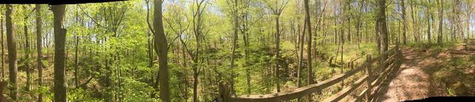
The Turnhold Bend Nature Trail at Mammoth Cave National Park is an easy 0.6 mile loop trail that leads out to two massive sinkholes with two overlooks and one overlook of the Green River in the north portion of the trail.
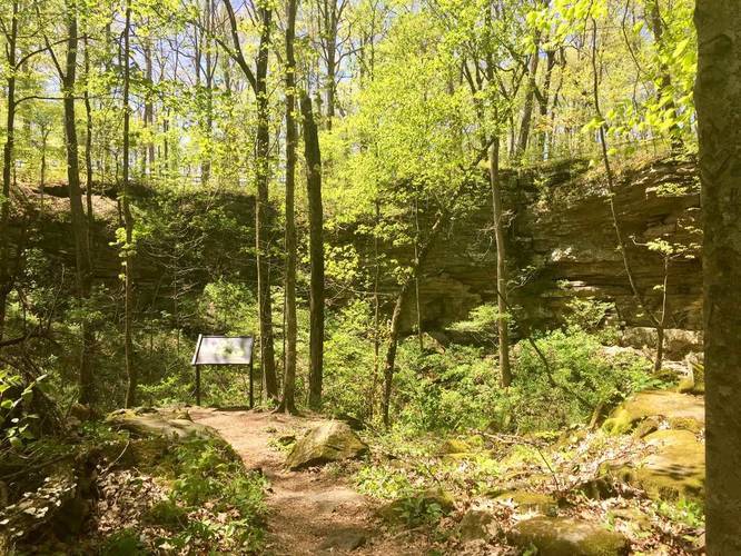
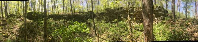
Starting off the hike, you'll head uphill on a set of stairs that immediately hits the loop trail - the GPS recording provided heads right at the loop. Shortly after starting the loop (heading right), you'll come across the first large sinkhole along the trail. The sinkholes provide temperate air temperatures to the plants in the immediate area, so in the winter, ferns and other plants can still thrive.
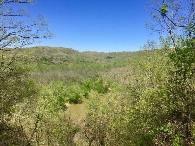
Continuing on the trail, you'll come across the lookout point above the Green River with a view of the river and the surrounding hills. After passing the lookout, you'll come across one last large sinkhole area before heading back to parking.
Wildflowers: During the Spring, be on the lookout for wildflowers such as Fire Pink, Celandine Poppy, Jack-in-the-Pulpit, Sessile Trillium, and Violets.
Poison Ivy: Much like the rest of the surface trails at Mammoth Cave National Park, this trail also has poison ivy on the sides of the trail, so watch your step.
Dogs are allowed on this trail.
Starting off the hike, you'll head uphill on a set of stairs that immediately hits the loop trail - the GPS recording provided heads right at the loop. Shortly after starting the loop (heading right), you'll come across the first large sinkhole along the trail. The sinkholes provide temperate air temperatures to the plants in the immediate area, so in the winter, ferns and other plants can still thrive.
Continuing on the trail, you'll come across the lookout point above the Green River with a view of the river and the surrounding hills. After passing the lookout, you'll come across one last large sinkhole area before heading back to parking.
Wildflowers: During the Spring, be on the lookout for wildflowers such as Fire Pink, Celandine Poppy, Jack-in-the-Pulpit, Sessile Trillium, and Violets.
Poison Ivy: Much like the rest of the surface trails at Mammoth Cave National Park, this trail also has poison ivy on the sides of the trail, so watch your step.
Dogs are allowed on this trail.