The Lawrenceville section of the Three Rivers Heritage Trail is a short 1 mile out-and-back hike that starts at the end of 40th street.
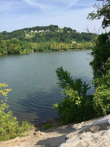
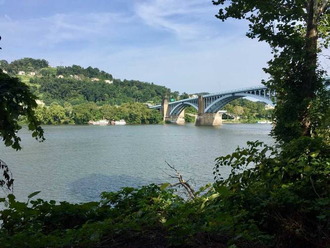
The trail starts under the 40th street bridge and heads north to 43rd street before you turn back and head south. The southern section of the trail ends at the train tracks, but this GPS map brings you about 150 feet beyond the end of the trail to a small ledge and lookout point that overlooks the Allegheny River.
There's a dog park on the southern section of this trail as well. There are two areas - one for large/mixed sized dogs and one area for small dogs only.
Biking is allowed, but this trail does not connect to the Strip District or Downtown portions of the Three Rivers Heritage Trail, yet.