Loading...

📌 Love our trails? Set MyHikes as your preferred Google source. Add Now ⛰️

The Pogue via Prosper Trail

Trail name(s)

Prosper Trail, North Ridge Loop, Pogue Pond Loop Trail, McKenzie Road

Location

Marsh - Billings - Rockefeller National Historical Park, Prosper Road Trailhead Woodstock Vermont

Permitted uses

Hiking, Nature Study, Horseback riding

Prohibited uses

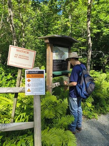
Bicycles are not permitted on park trails. No Hunting. No Trapping.. No Swimming. No Wading and no fishing. Pets are not allowed in Pogue Pond. Do not feed or approach wildlife.

Hours

The trails are available from dawn to dusk.

Fees and Parking

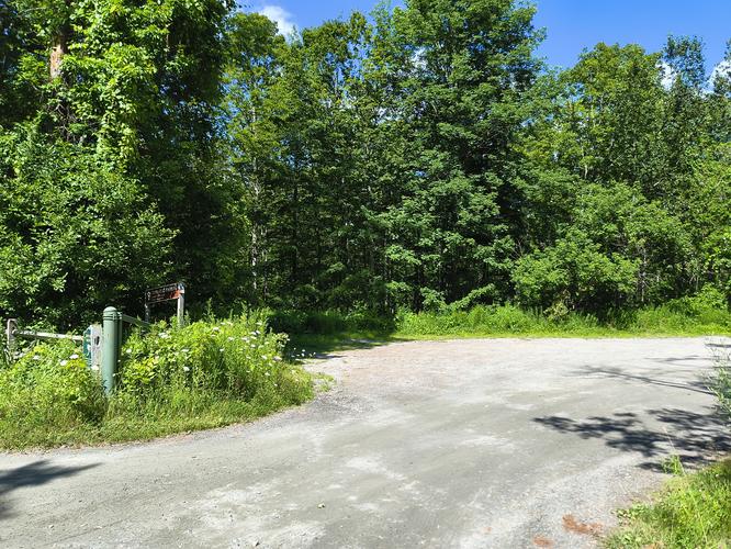
There is no fee to park or to use the trails. The parking area is quite large and will accommodate several cars. Horse trailers are able to use this parking area as well.

Pets

Dogs are allowed on the trails and must be kept on a leash no longer than 6 feet. Owners are required to remove all pet waste.

Accessibility

This hike was not wheelchair accessible.

Hiker amenities

There are no restrooms or trash bins at this trailhead. There is no water available to hikers so remember to bring adequate water for your hike. Please carry out all the trash you create or find. There are two information kiosks at two different areas of the parking lot.There is a map posted at the kiosk. Hikers can take a picture with their phones to take along with them or they can download a map by visiting the link below:

www.nps.gov/mabi

Length and Trail information

This was an easy hike done as a loop which was approximately 2.75 miles in length. Our goal for this hike was to reach The Pogue (aka Pogue Pond), hike around its perimeter and enjoy the views.

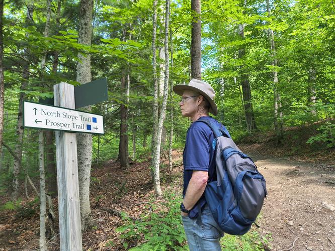
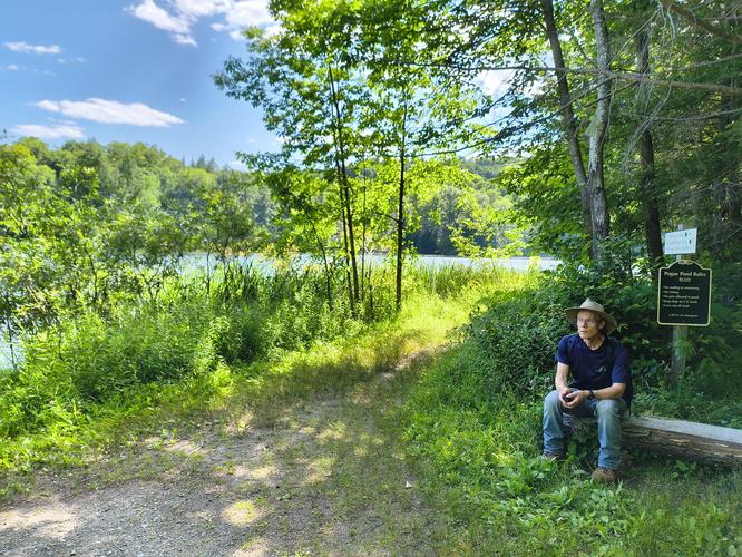
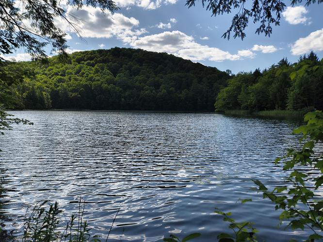
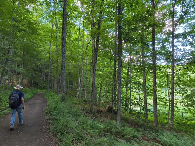
Our hike started from the parking area to a small boardwalk that led us into the dense mixed forest.There are no trail blazes but there are wooden signs at intersections to help visitors stay on the trail. The trail was wide and we were able to walk side by side for most of the hike. There were little to no trip hazards along the trail. Any gain in elevation was gradual and hardly noticed. One section with a modest incline had wide rock/earth steps to ease ascent. The Pogue (aka Pogue Pond) is a man made pond, said to be roughly 14 acres in size. During the time Mr. George Marsh owned the property, Pogue Pond was a spring fed fen describe as a swampy depression below Mount Tom. When Mr. Billings took over the property in the 1880s, he made an earthen dam and dredged Pogue Pond thus allowing it to be used as a water source for his property. We took advantage of the benches installed beside the pond and spent some time watching the wildlife before hiking around the pond. A diverse population of wildlife is the happy result of keeping humans and dogs out of the Pogue Pond. It is reported that fish, turtles, frogs, ducks and Barred owls call this area home. During our visit we were able to see a lot of large dragonflies buzzing about and a family of ducks enjoying the pond.

For anyone wishing an easy hike in a lovely setting would very much enjoy visiting these trails in the Marsh - Billings - Rockefeller National Historical Park.
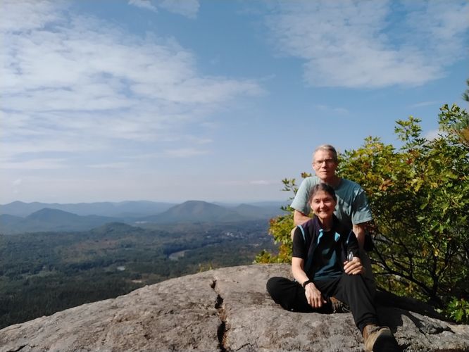
Explore 7 trails near Woodstock, VT

Know Before You Go

  • Enjoy a gentle, side-by-side walk with gradual inclines and wooden trail signage leading directly to scenic Pogue Pond. Benches along the shore offer perfect spots for wildlife viewing in Marsh-Billings-Rockefeller National Historical Park.

  • Leashed dogs are welcome on the trails, but pets and humans are strictly prohibited from entering Pogue Pond to protect local wildlife. Bicycles, hunting, trapping, and fishing are also not permitted.
  • Parking is free with space for cars and horse trailers, but there are no restrooms, trash bins, or drinking water available at the trailhead. Be sure to bring adequate water, carry out all trash, and snap a photo of the map at the kiosk before heading out.
Interactive topographic map for The Pogue via Prosper Trail located in Woodstock, VT. Click the "View Map" button to load GPS coordinates and trail markers.
Get directions
Distance
2.6 mi
Difficulty
Easy
Type
Loop
Est. Time
1.5 hrs
Elev. Gain
494'
Rating
0.0
Added
August 05, 2026
Updated
October 28, 2026

Weather Forecast

Don't let Google decide who you trust.

Loading...
Total Change
304 ft.
93 m
Ascent
494 ft.
151 m
Descent
524 ft.
160 m
Loading...

Download the GPX Data for Offline Use

Supporters get exclusive access to download trail routes to the MyHikes app for offline use. Stay prepared on your adventure, even without an internet connection! Become a Supporter today to unlock this feature and hike with confidence.

Download The Pogue via Prosper Trail GPX Data to the MyHikes Mobile App

Features

Vista / Lookout Point
Dogs
Water Source

Points of interest

  1. Parking

    43.6385, -72.5533
  2. Main Trailhead

    43.638508, -72.553449
  3. Entrance from Prosper Road

    43.6385, -72.5533
    Entrance from Prosper Road
  4. Information kiosk

    43.6386, -72.5533
    Information kiosk

Safety information

For your own safety: plan ahead, let someone know where you'll be, and hike at your own risk.

Hazards

Poison Ivy or Poison Oak

Availability

All seasons

Surface type

Dirt

Trip Reports (Reviews)

Your opinion matters! Be the first to rate this trail.

Ready to help fellow hikers? Add a trip report to share your experience!

No community routes found. To add your own hike as a Community Route for this Trail guide, leave a Trip Report with an attached GPX file.

Explore Autumn Foliage

No Change
Some Color
Low Color
Moderate Color
High Color
Peak Color
Past Peak
Sept 1 Sept 8 Sept 15 Sept 22 Sept 29 Oct 6 Oct 13 Oct 20 Oct 27 Nov 3 Nov 10 Nov 17 Nov 24

Find Hiking Trails Near Me

You may also like

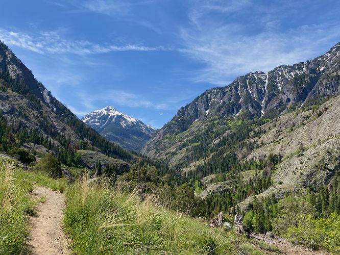
Colorado's Million Dollar Highway - Plan a day's drive adventure along the iconic Million Dollar Highway in Colorado. Explore the best short trails, roadside stops, waterfalls, vistas, ghost towns, and hot springs within a ~6 hour road trip.
Explore

Colorado's Million Dollar Highway

Plan a day's drive adventure along the iconic Million Dollar Highway in Colorado. Explore the best short trails, roadside stops, waterfalls, vistas, ghost towns, and hot springs within a ~6 hour road trip.

Read
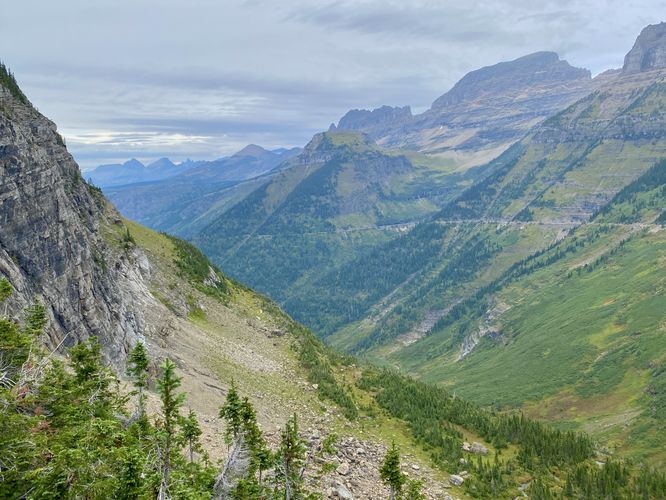
Glacier's Going-to-the-Sun Road - Discover the breathtaking beauty of Glacier National Park along the iconic Going-to-the-Sun Road. From stunning roadside stops to picturesque waterfalls and vistas, this engineering marvel offers endless opportunities for exploration.
Explore

Glacier's Going-to-the-Sun Road

Discover the breathtaking beauty of Glacier National Park along the iconic Going-to-the-Sun Road. From stunning roadside stops to picturesque waterfalls and vistas, this engineering marvel offers endless opportunities for exploration.

Read
🍪 We use cookies to learn about site usage and to serve map tiles. You may block cookies manually in the browser. By continuing you agree. Learn more