Bison Ridge Loop Trail
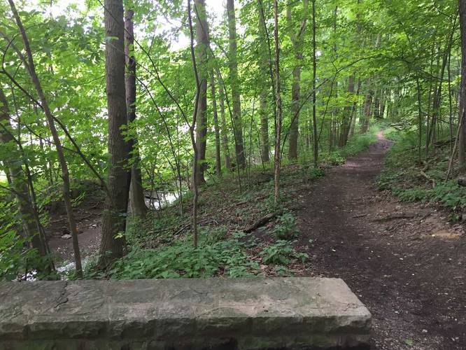
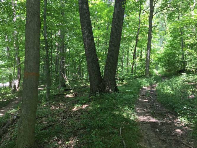
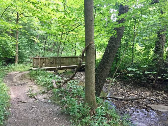
The trail weaves in and out of almost all corners of South Park, so you get to see the entire park. There are about 4 or 5 main ascends and descends, so even though the elevation change is small, the elevation gain is much higher.
The trail has numerous trail heads, but the easiest way to get on the trail is to park at the address provided.
Know Before You Go
Interactive topographic map for Bison Ridge Loop Trail located in Bethel Park, PA. Click the "View Map" button to load GPS coordinates and trail markers.
View map
Get directions
- Distance
- 6.5 mi
- Difficulty
- Moderate
- Type
- Loop
- Est. Time
- 3.3 hrs
- Elev. Gain
- 1,019'
- Rating
- 0.0
- Added
- July 15, 2017
- Updated
- June 10, 2018
Weather Forecast
Don't let Google decide who you trust.


Loading...
<strong>Trail map and elevation chart not rendering in print mode?</strong> Simply scroll to the trail map section, then try printing again!
Total Change
261 ft.
80 m
80 m
Ascent
1,019 ft.
311 m
311 m
Descent
966 ft.
294 m
294 m
Loading...
Features
- Dogs
- Water Source
- Biking
Points of interest
-
Parking
40.32531, -80.01624 -
Main Trailhead
40.32507, -80.016423 -
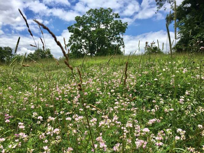
View of wildflowers and a large tree
40.306033, -80.001494 -
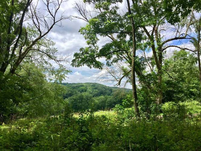
View through the trees of neighboring hills
40.317756, -80.003328
-
Parking
40.32531, -80.01624 -
Main Trailhead
40.32507, -80.016423
Safety information
For your own safety: plan ahead, let someone know where you'll be, and hike at your own risk.
Markers
Blaze Color
White
fff
Availability
Summer
Surface type
Dirt
Trip Reports (Reviews)
Ready to help fellow hikers? Add a trip report to share your experience!
7.5
miles
/ 12.1 km
July 16, 2022
Hiking
No community routes found. To add your own hike as a Community Route for this Trail guide, leave a Trip Report with an attached GPX file.


You may also like

Explore
Pennsylvania's Grand Canyon
Explore Pennsylvania's Grand Canyon, officially named Pine Creek Gorge, including hiking trails, vistas, overlooks, waterfalls, backcountry campsites, backpacking trails.

Explore
New York's Best Waterfalls
Whether you're planning a day hike, roadside stop, or a leisurely short walk, this guide provides hikers, travelers, and locals alike with 63 different locations to over 100 scenic waterfalls to help plan your next adventure!

Explore
25 Best Day Hikes in West Virginia
Discover 25 of the best day hikes in West Virginia, from scenic overlooks to wilderness trails—perfect for every level of hiker.

Explore
Best of the Alps: Hiking, Adventure & Scenery
Plan your ultimate European Alps adventure! Discover the best hiking trails, epic scenery, and villages in the Swiss Alps, Dolomites, Chamonix, and Lake Como.
south park

