Trail name(s)
Sterling Pond Trail, Long Trail, Spruce Peak Trail, Snuffy's Trail, Elephant's Head Loop Trail, Elephant’s Head Trail, Drifter ski trail
Location
Smugglers' Notch State Park, Vermont Route 108S
Permitted uses
Hiking, Nature Study, Bouldering, Camping at designated areas
Prohibited uses
No Camping or Fires at Sterling Pond
Hours
Dawn to Dusk. Smuggler's Notch closes during Winter.
Fees and Parking
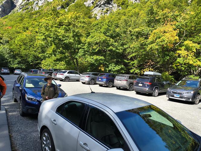
There is no fee to park or use the trails. Parking is across the street from the trailhead at the Smuggler’s Cave and Information Booth. The parking fills up quickly and is limited. There are other parking areas a short walk from the trailhead and at peak times, parking is allowed alongside the road.
Pets
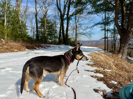
Dogs are allowed on the trails and must be leashed. Owners are required to clean up after their pets.
Accessibility
This hike is not wheelchair accessible.
Hiker amenities
There are restrooms available at the Smuggler’s Cave and Information Booth Parking area. There is an information kiosk with a posted map near the restrooms and often there is a Park Ranger at the Information booth at the opposite end of the parking area. There is another kiosk at the trailhead of the Sterling Pond trail with a posted map. Please carry out all the trash you create or find.
Length and Trail information
This hike was approximately 7.6 miles long and was difficult. It was done as a “lollipop” hike with some side hikes off of the “main” trail. Our goal for this hike was to summit Spruce Peak at 3320 feet, then check out the view from the Elephant’s Head Vista. From Elephant's Head we back tracked and hiked part way around Sterling Pond to check out the shelter, then to hike on the Long Trail and head up to Madonna Peak at 3668’. From Madonna Peak we planned to head back to finish hiking around Sterling Pond and begin our descent down the Sterling Pond Trail to our starting point. Along the way we saw blue blazes on the Sterling Pond Trail and white trail blazes to mark the Long Trail.
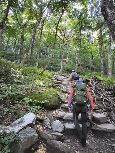
The trailhead for the Sterling Pond Trail is across the street from the Parking area. Use caution when crossing, there are a lot of distracted tourists using this road and some are traveling faster than conditions warrant. Right from the start, the trail has a decent incline through the mixed forest. The trail substrate is mostly rocky steps to start but stays fairly rocky throughout the climb. Use caution on the rocks as they can be very slippery.
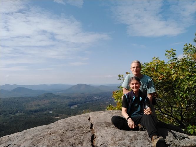
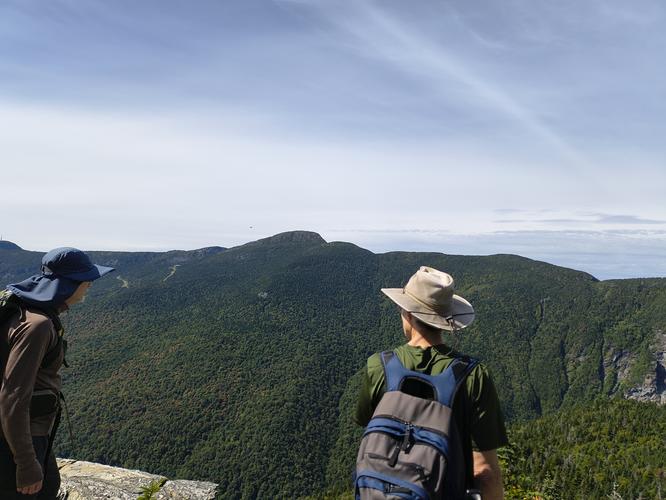
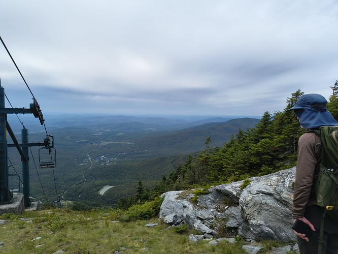
The views from Spruce Peak are really lovely and if you happen to visit during foliage season, you will be in for a real treat. There were several hikers at Spruce Peak enjoying the rocky terrace and taking a break. It’s a great spot to have a picnic or a quick snack. After a brief stay, we headed back to our hike.
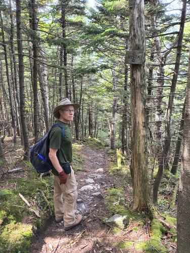
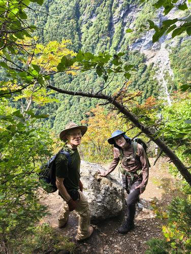
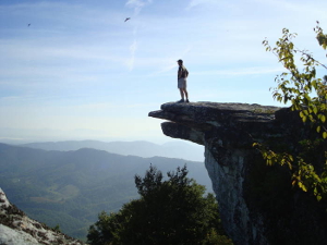
The spur trail to the Elephant’s Head is poorly marked by a small wooden sign that reads “VISTA”. Make sure that you are paying attention to your GPs when you get close to the spur trail. The hike to the lookout has a variety of substrates: rocky, rooted, mossy and slippery. There is also a decent amount of descent to reach the lookout point. The lookout area from atop the Elephant’s Head is a bit disappointing. It’s VERY small and a bit dangerous. The view from the area is limited and the best view of the Elephant’s Head is actually from a parking area below the trail.
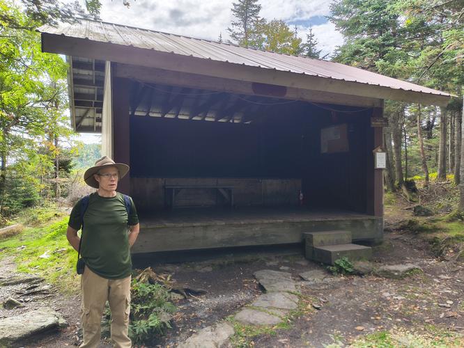
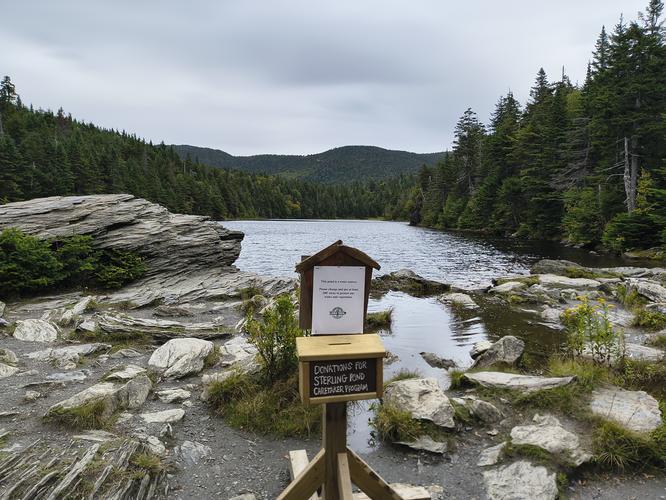
From the Elephant's Head we headed back to hike around Sterling Pond and to see the shelter. The Shelter is quite large with lots of room for several hikers. There is a nearby outhouse as well as water for campers or through hikers.
We then headed from the Shelter toward Madonna Peak. This was a particularly difficult part of the hike. The terrain was very steep and the rocks were very slippery. We took turns falling on the rocks, but thankfully no one was seriously hurt. This would not be a good place to become incapacitated, so please use caution traveling over rocks. After reaching Madonna Peak, we enjoyed the views and altered our course by heading down the ski trail instead of the trail we used on our way up. We wanted to avoid some slippery steep areas, it was a bit longer around, but quicker because we didn't have to be so cautious on the rocks.
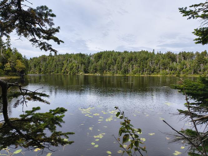
Back to Sterling Pond, we finished hiking around the other side. We enjoyed some of the views of the pond and then headed back.
This is a physically taxing hike as we did it. Plan for an entire day if you follow our route. Pack plenty of water, lunch and snacks. Start early and enjoy this beautiful treasure in Vermont.