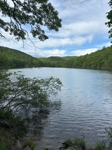
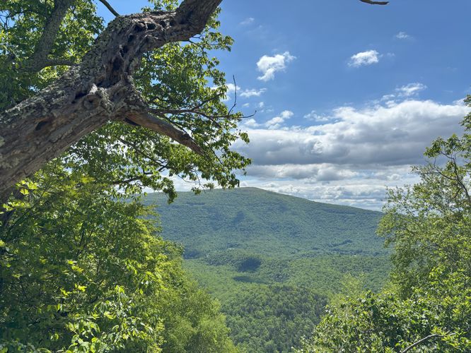
Located within George Washington National Forests' Sherando Lake Recreation Area sits a beautiful loop hike that traverses Torry Ridge, featuring views of mountains and Sherando Lake. This moderate 10.4 mile hike goes around the lakes, up the side of a mountain then follows the ridge line before coming down to reach the trailhead. We did this as part of our scout groups' hiking merit badge.
- 0.0 Miles: Park in the main parking lot. There is a large bath house 50 yds from the parking lot and the trail starts there. Follow the path to behind the beach.
- 0.5 Miles: Walk around the lake until you hit the dam. Do not cross the dam but head down to small parking lot. Follow the road until you hit the main road. There is little traffic on this road so there should be no safety concern.
- 1.1 Miles: At the main road, turn left and cross the bridge. On the other side, there should be a small parking area with a sign in the back. This is the trail head. Follow the trail up to the top of the ridge. This is the hardest section of the hike as it steep and rocky.
- 2.1 Miles: At the top of the ridge, the trail intersects the Torry Ridge Trail. Turn left onto the Torry Ridge Trail.
- 5.0 Miles: The trail intersects the Slacks Trail. Follow this trail to the left heading down off the ridge. Stick to the left on any trail intersections to avoid offshoots.
- 7.5 Miles: The trail starts to run parrel to a stream.
- 8.8 Miles: There is a stream crossing with no bridge. Some of our group was able to rock hop across without getting wet. Some did not, and got a shoe wet.
- 9.3 Miles: Follow the trail around the lake until reaches a road. Do not climb onto of the dam. Turn right at the road and follow it turn the campground. The campground is very large and will take a while to walk thru.
- 10.5 miles: End at the parking lot where you started.