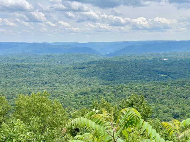
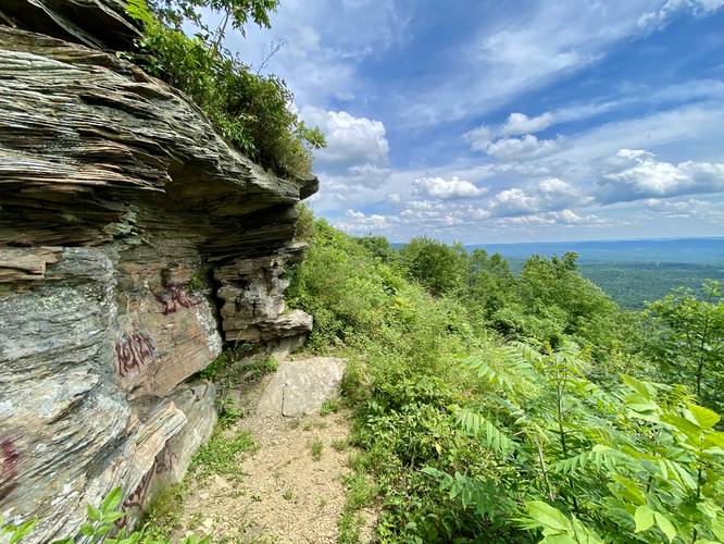
Sharp Top Vista at Loyalsock State Forest near Masten, Pennsylvania is an easy 0.1-mile out-and-back walk (or drive-up view) that features a 180-degree vista of the mountains north of Williamsport.
This is not a hike but rather a drive-up vista that's universally-accessible to the general public. Note that the view is available from the forest road, so visitors don't need to step out of their vehicle if they physically can't. There's a small dirt trail that leads down the hill approximately 16-feet down to a small cliff that provides the same view but with a different perspective.
Universal Access
This vista is universally accessible due to the fact that visitors don't need to step outside of their vehicle to enjoy it; however, the picnic area and grassy knoll at Sharp Top is not universally accessible or paved.
Parking
Visitors and hikers will find parking at the coordinates provided. There's plenty of space to turn-off of the dirt road.
Pets
Dogs are allowed if leashed and must be cleaned up after.