Loading...

Distance:
38.2 Miles / 61.5 km
Type:
One-Way
Difficulty:
Strenuous
Time to Hike:
19 hours, ~6 minutes
Features:
Surface Type:
Dirt
Park:
North Park
Town:
McCandless, Pennsylvania
Directions:
40.597955, -79.996895
Added:
January 04, 2017
Updated:
February 21, 2019
By:
Loading...
Loading...
561 '

Total Change
6,328 '

Ascent
6,141 '

Descent

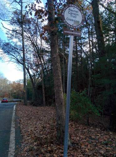
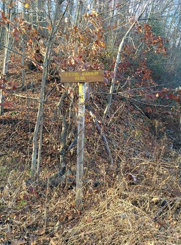
The Rachel Carson Trail in western Pennsylavania is a 38.2 mile trail that runs from North Park in McCandless, PA and ends in the northern end of Harrison Hills Park in Natrona Heights, PA. It's one of the longest continuous trails near Pittsburgh for day hiking. Camping and backpacking is not allowed along any parts of the Rachel Carson Trail unfortunately, so if you plan day hikes, make sure you pack enough water and food for out-and-back trips. Hiking the entire trail in one day is also possible, but very difficult - only experienced hikers should attempt a full day thru-hike. Alternatively, if you hike with a friend, you can park at different trailheads along the route.

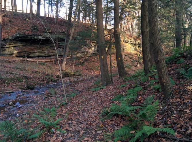
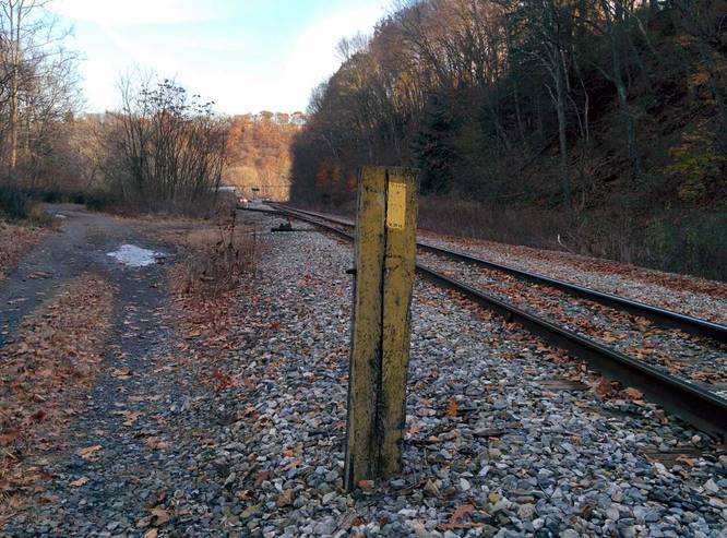
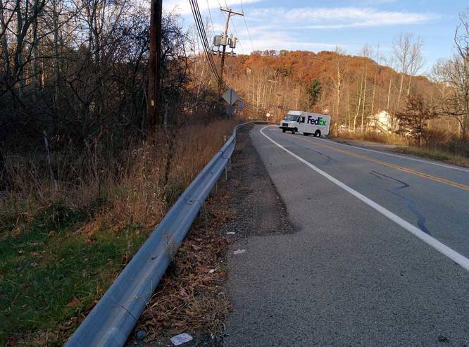
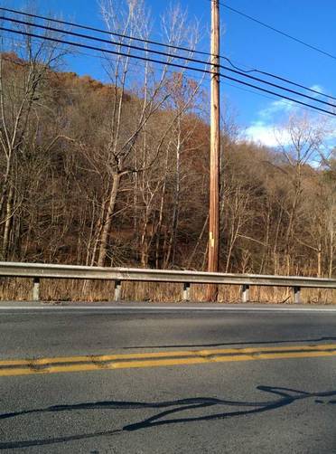
The trail is strenuous due to its length and elevation gain of over 6,300 feet and elevation loss of about 6,100 feet. The trail winds through various parks, passes meadows, farms, and creeks, winds past houses, and follows power lines and gas lines. By following the entire Rachel Carson Trail, you'll see what northern Allegheny County has to offer from the woods to suburbs to local parks and towns.

Dogs & Bikes: Please note that the Rachel Carson Trails organization (http://www.rachelcarsontrails.org) wants hikers to refrain from bringing dogs and bikes on this trail.

Private Property: Many parts of this trail pass through private property so you must stay on the trail at all times.

For more info (trail guide and trail conditions), check out the following link:
http://www.rachelcarsontrails.org/rct

Explore 222 trails near McCandless, PA
  1. Parking

    40.597955, -79.996895
  2. Main Trailhead

    40.599699, -79.996752
  3. Trail junction with Big Rock Rd

    40.581975, -79.982128
    Trail junction with Big Rock Rd
  4. Trail runs adjacent to Rocky Dell Run creek

    40.581133, -79.981633
    Trail runs adjacent to Rocky Dell Run creek
  5. Trail junction with turn (yellow blazes)

    40.579464, -79.975081
    Trail junction with turn (yellow blazes)
  6. Yellow blaze adjacent to railroad tracks

    40.578475, -79.973369
    Yellow blaze adjacent to railroad tracks
  7. Turn onto Sample Road

    40.577431, -79.969911
    Turn onto Sample Road
  8. Trail junction off of Sample Road back to the Rachel Carson Trail

    40.579883, -79.967
    Trail junction off of Sample Road back to the Rachel Carson Trail
No community routes found. To add your own hike as a Community Route for this Trail guide, leave a Trip Report with an attached GPX file.

Hazards

Ticks - Lyme Disease More Info (CDC)

Season

Spring

Blaze Color

Yellow

Photo Albums

1 Trip Report

No Star-Ratings
Write-up by:
Hhm user profile picture
38.2 miles / 61.5 km
Trail added
January 04, 2017
Hiked on
January 04, 2017
Updated on
February 21, 2019

Weather Forecast

In McCandless, PA

Explore Hiking Trails

New Hikes

Raven Rocks via Appalachian Trail
5.1 Miles
8.2 km
Strenuous
Out-and-Back
Tibwin Plantation Trail
1.9 Miles
3.1 km
Easy
Out-and-Back
Bates Ferry Trail and General Greene Tree
2.7 Miles
4.3 km
Easy
Out-and-Back
Sewee Shell Ring Trail
1.1 Miles
1.8 km
Easy
Loop

Before you leave...

MyHikes is an indie web platform aimed to make exploring public trails easier for everyone. The site has no investors and is owned and operated by one person, Dave Miller (Founder & Admin). As the Founder, main contributor, and doer-of-all-things for MyHikes, I share my trips with over-detailed write-ups for fun on a volunteer basis and I believe that public trail information should be available to everyone.

It takes a lot of time 🕦, money 💰, and effort (including espresso shots ☕) to run MyHikes, including hiking , mapping , writing , and publishing new trails with high-quality content... along with building new features, moderating, site maintainance, and app development for iOS and Android . I simply ask that if you find MyHikes' trail guides helpful to please consider becoming a Supporter to help keep the site, iOS, and Android apps available to everyone.

Supporters unlock website and in-app perks with a one-time payment of $25 (you renew) 😎👍. Or you can simply make a Donation of your choice without a MyHikes user account. Otherwise, telling your friends about MyHikes is the next-best thing - both quick and free 🎉

Thanks for visiting MyHikes and have a great hike!️

Admin user profile picture

Dave Miller
MyHikes Founder & Admin