The Potato City Airport Trail at Susquehannock State Forest in Coudersport, Pennsylvania is an easy 0.3-mile loop trail that features a peaceful walk through an abandoned airport. This area is now popular with night sky photography (astrophotography).
This old airport was once private land and according to a local, it was used up until or through the 1950's. The land is now owned and managed by the Susquehannock State Forest. There is no longer anything left in this field in regard to old abandoned buildings related to the airport; however, it's a beautiful place to take night sky photos.
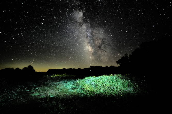
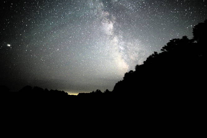
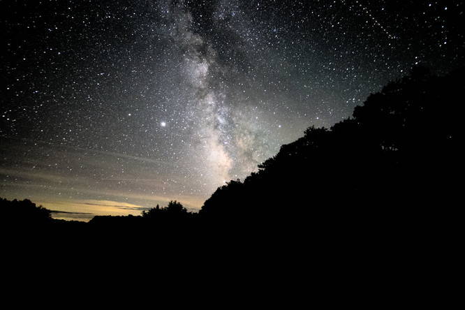
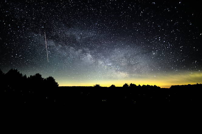
Milky Way Astrophotography
During the warmer months (June - September), the Milky Way can be visible to the naked eye because of the lack of light pollution in this part of the state. Please note that while the Milky Way may be visible to the naked eye, the photos on MyHikes from this location are exposures of 30-seconds or more - so what you can see with your eye is vastly different from what the camera can pick up with exposure shots.
Parking
Visitors can find parking at the coordinates provided. There's a lot large enough to fit a half-dozen vehicles.
Pets
Dogs are allowed if leashed.
Camping
Backpackers and campers will find that the Potato City Airport field may be a decent spot to setup a tent during Autumn or the Spring; however, you must follow all state forest rules and regulations when camping here. Also note that the state forest does not maintain trails that lead into the old airfield, so you may need to bushwhack through tall grass to find a good spot to setup a tent.
This old airport was once private land and according to a local, it was used up until or through the 1950's. The land is now owned and managed by the Susquehannock State Forest. There is no longer anything left in this field in regard to old abandoned buildings related to the airport; however, it's a beautiful place to take night sky photos.
Milky Way Astrophotography
During the warmer months (June - September), the Milky Way can be visible to the naked eye because of the lack of light pollution in this part of the state. Please note that while the Milky Way may be visible to the naked eye, the photos on MyHikes from this location are exposures of 30-seconds or more - so what you can see with your eye is vastly different from what the camera can pick up with exposure shots.
Parking
Visitors can find parking at the coordinates provided. There's a lot large enough to fit a half-dozen vehicles.
Pets
Dogs are allowed if leashed.
Camping
Backpackers and campers will find that the Potato City Airport field may be a decent spot to setup a tent during Autumn or the Spring; however, you must follow all state forest rules and regulations when camping here. Also note that the state forest does not maintain trails that lead into the old airfield, so you may need to bushwhack through tall grass to find a good spot to setup a tent.