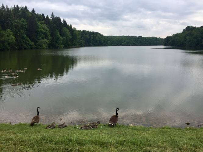
The Peters Lake Trail at Peters Lake Park in Peters Township, Pennsylvania is an easy and scenic 1.7-mile long trail that encompasses the park featuring views and fishing spots along the reservoir.
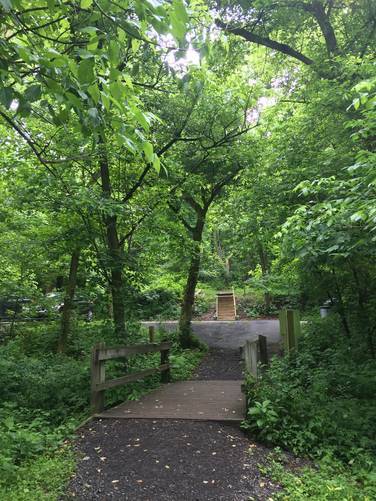
The trail is mostly flat and starts out paved until it reaches the southern parking lot. At the southern parking lot, off of N Spring Valley Rd, the trail will turn into a dirt path that continues around the lake. At the western and of the loop, you'll find a dike that holds the reservoir's water back - here you can get views of the entire reservoir along with yet more great spots to go fishing.
After hiking the dike, the trail will continue through a coniferous forest along the northern side of the lake. Along the northern portion of the trail, it meanders through the woods, but continues to follow the shoreline of the lake; however, this part of the hike keeps the trail further from the water.
Eventually, the trail will cross Center Church Rd with a staircase across the street - continue up the staircase and follow the trail until you reach the main parking lot for a 1.7-mile loop.
Parking: Parking can be found at the main parking lot at the coordinates provided. You can also park at the end of N Spring Valley Rd or you can park at any of the small lots that lead into the main parking area.
Pets: Dogs are allowed and must be kept on a leash. Their waste must be carried out.
Biking: Biking is only allowed along the paved section of the trail - this is the mile-0 to 0.4-miles into the trail where the paved section ends at the southern parking lot.
Fishing: This is probably one of the most popular fishing trails I've seen around Pittsburgh, PA - a lot of the view points along the reservoir were being used by families to fish.