Trail name(s)
Accessible Trail, Pine Barrens Loop Trail
Location
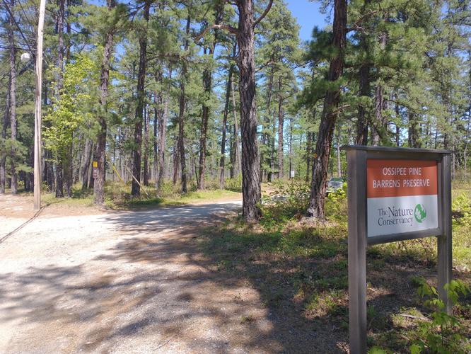
Plains Rd, Route 41, Madison NH
Permitted uses
Hiking allowed on all trails, Geocaching, Wildlife and Nature observation, Snowshoeing and Cross Country Skiing. Biking and snowmobile use is allowed on some designated trails. Hunting and fishing allowed with proper NH licensing in designated areas.
Prohibited uses
No horses, no camping, no wheeled vehicles, no fires, no trapping. Removal of any natural resources or wildlife is strictly prohibited.
Hours
Daily from dawn to dusk.
Fees and Parking
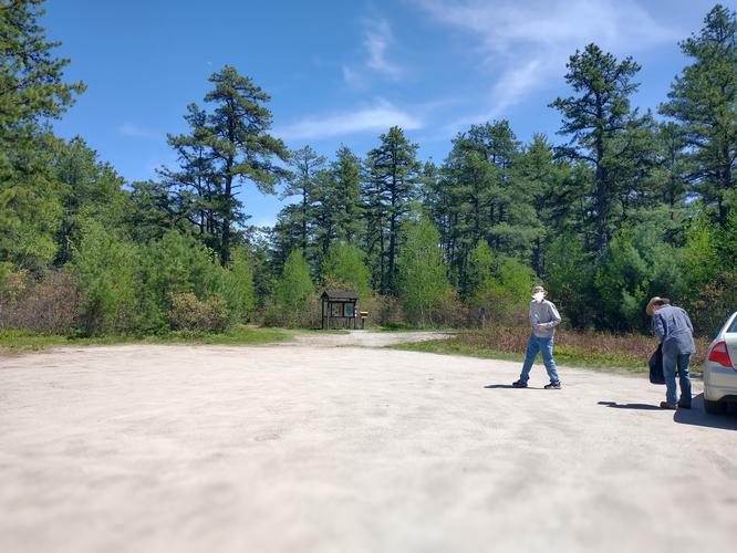
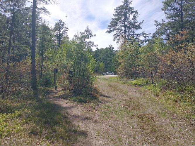
There is no fee to park or hike the trails. There is plenty of parking and even a designated area for Handicap parking that is closer to the Accessible Trail and Kiosk.The road to the parking area from the highway is a class 6 road and visitors do so at their own risk. At the time of our visit there were no issues with the road but there might be problems in winter or if spring rains create a muddy road.
Pets
Dogs are allowed on the trails if kept on a leash. Owners/caregivers are expected to properly dispose of dog waste.
Accessibility
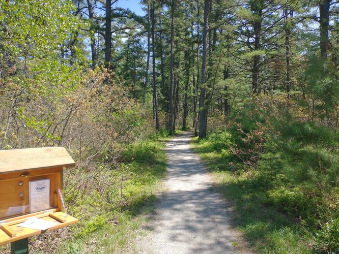
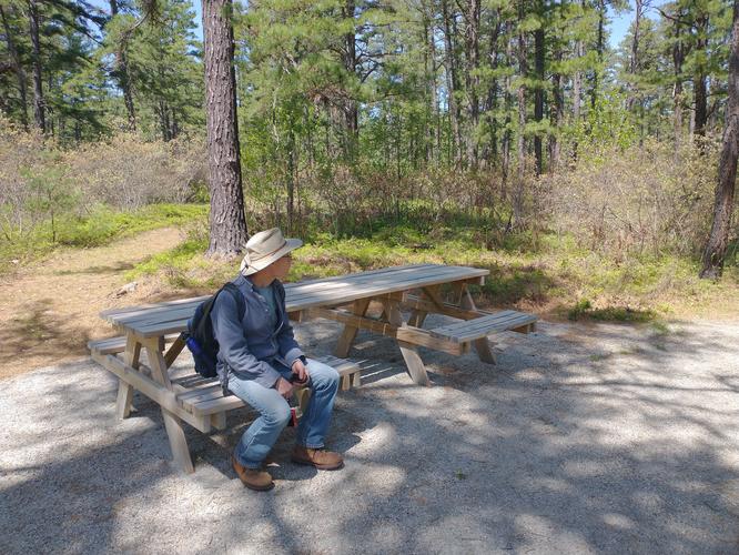
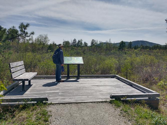
There is approximately 1 mile of accessible trail at the Ossipee Pine Barrens Preserve. The accessible trail would be hiked as an “out and back” hike. The accessible trail leads to a marsh area that has a wooden Observation Platform for visitors to spend time listening to and looking at the natural setting surrounding them. The elevation is flat and has no obstacles along the route. There was a bench installed along the route as well as a wheelchair accessible picnic table that has access on either side.
Hiker amenities
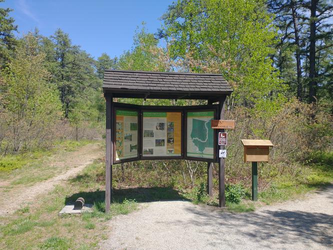
There is a large information kiosk at the trailhead with a posted map and educational information about the Preserve. There is also a foot brush installed at the side of the kiosk and hikers are encouraged to brush their shoes before and after the hike. The hope is that this will lessen the chance of introducing invasive plants into this globally significant ecosystem.
There are no restrooms and there are no trash bins. Please take out any trash you create or find and dispose of it in a responsible manner.
There is a smaller kiosk beside the information kiosk that looks like it might have had a guest registration book at one time, but at our visit there were only pamphlets about hiking trails in Madison NH.
Length and Trail information
The hike we did was done as a” loop hike” and is considering an easy hike that was approximately 1.6 miles in length. The Accessible Trail is a mile long and terminates at the Observation Platform along the West Branch River. The Accessible Trail is about 5 feet wide and the substrate is made of compacted crushed gravel. We decided to hike to the Observation Platform, stopping along the way to check out an educational post on pyrophytes. We spent a few minutes at the Observation Platform enjoying the view of Mount Whittier and reading another education post that was focusing on the different habitats that are in this area. We then made our way to the Pine Barrens Loop Trail.
The trail blaze markers along the trail consist of yellow arrows set against a green background. The markers are few and far between. My one complaint about the Preserve would be that the signage at intersections is non-existent. It's helpful to have taken a picture of the map at the information kiosk before heading out on the trails. Another complaint I have, that is completely out of the Preserves control, is the constant noise coming from a nearby processing plant. The noise really diminishes the experience of being out in Nature especially if you are hoping to listen for birds. My recommendation would be to visit during the weekend when, hopefully the plant would be closed and quiet.
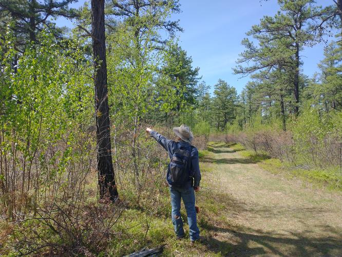
The Pine Barrens Loop Trail is wide and fairly flat, there were no trip hazards and no elevation. If this trail had a substrate of compacted crushed gravel, it would likely be wheelchair accessible, perhaps that will be an addition in the future.
We were impressed with the uniqueness of the Pitch Pine and Scrub Oak Forest and to learn that its health is dependent on fire in order to thrive. We were surprised to learn that the Preserve is over 2700 acres in size and has over 7.5 miles of trails available to visitors. Even more surprising for us was to learn that this is a globally significant ecosystem and one of the last remaining places to hear a Whip-poorwill in New Hampshire. Although we weren't lucky enough to hear a Whip-poorwill during our hike, we did hear and see a wide variety of birds including: Grey Catbird, Eastern Towhee, Least Flycatcher, Northern Yellow Warbler, Chestnut Sided Warbler, Prairie Warbler, American Redstart, Yellow Rumped Warbler and Chipping Sparrow.
It was an easy hike with interesting features and we would encourage all to visit. The Ossipee Pine Barrens Preserve is stewarded by the Nature Conservancy and more information about the Presence can be found by following the link below:
https://www.nature.org/en-us/get-involved/how-to-help/places-we-protect/ossipee-pine-barrens/