Loading...

WINTER SALE! 50% OFF Supporter Accounts — now through January 31st. Learn More.

White & Green Blaze Trail

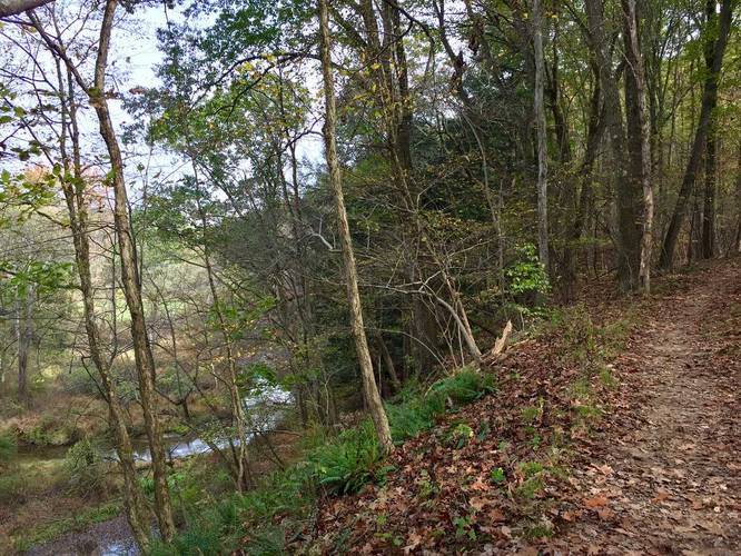
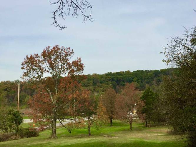
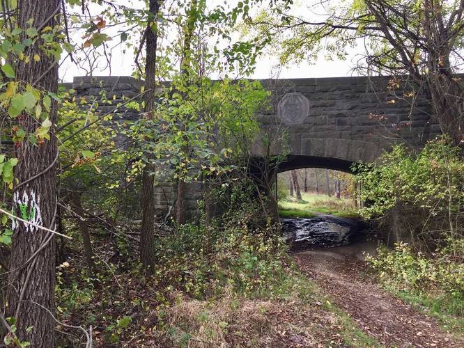
The White & Green Blaze Trail at North Park near Hampton Township and Allison Park, Pennsylvania is a moderate 2.1 mile out-and-back hike that cuts east/west through the southern section of the park. This trail is one of the best trails at North Park due to the fact that the forest and scenery changes rapidly throughout the hike.

Trailheads: This trail was tracked starting off of the White & Orange Blaze Trail, but you can easily start it on the other end since there's technically a parking lot where the trail turns back. The coordinates for parking at that trailhead are: 40.59192, -79.9998974
Explore 222 trails near Hampton Township, PA

Know Before You Go

  • The White & Green Blaze Trail is a 2.1-mile moderate hike in North Park, near Hampton Township and Allison Park, PA.
  • It's considered one of the best trails in North Park due to its varied scenery.
  • The trail can be accessed from either end, with a parking lot located at coordinates 40.59192, -79.9998974 for one trailhead.
Interactive topographic map for White & Green Blaze Trail located in Hampton Township, PA. Click the "View Map" button to load GPS coordinates and trail markers.
Get directions
Distance
2.1 mi
Difficulty
Moderate
Type
Out-and-Back
Est. Time
1.1 hrs
Elev. Gain
336'
Rating
0.0
Added
October 21, 2017
Updated
June 06, 2018

Weather Forecast

Loading...
Total Change
107'
Ascent
336'
Descent
313'
Loading...

Download the GPX Data for Offline Use

Supporters get exclusive access to download trail routes to the MyHikes app for offline use. Stay prepared on your adventure, even without an internet connection! Become a Supporter today to unlock this feature and hike with confidence.

Download White & Green Blaze Trail GPX Data to the MyHikes Mobile App

Features

Dogs
Biking

Points of interest

  1. Parking

    40.587849, -79.990379
  2. Main Trailhead

    40.592152, -79.985673
  3. Old shelter

    40.591908, -79.988244
    Old shelter
  4. Neat view above the adjacent creek

    40.592164, -79.989297
    Neat view above the adjacent creek

Safety information

For your own safety: plan ahead, let someone know where you'll be, and hike at your own risk.

Markers

Blaze Dot Color

Green

Availability

All seasons

Surface type

Dirt

Trip Reports (Reviews)

Your opinion matters! Be the first to rate this trail.

Ready to help fellow hikers? Add a trip report to share your experience and provide valuable insights for other hikers!

2.1 miles / 3.4 km
August 19, 2020
Hiking
No community routes found. To add your own hike as a Community Route for this Trail guide, leave a Trip Report with an attached GPX file.

Popular categories

Scenic mountain view representing vista trails
Vista trails
Scenic gorge of cascades representing waterfall trails
Waterfall hikes
Rugged mountain terrain representing summit trails
Summit trails
Scenic mountain view representing dog-friendly trails
Dog-friendly
Scenic campsite with a view representing camping trails
Camping trails
Appalachian Trail logo representing A.T. hikes
A.T. hikes

You May Also Like

New York's Best Waterfalls - Whether you're planning a day hike, roadside stop, or a leisurely short walk, this guide provides hikers, travelers, and locals alike with 63 different locations to over 100 scenic waterfalls to help plan your next adventure!
Explore

New York's Best Waterfalls

Whether you're planning a day hike, roadside stop, or a leisurely short walk, this guide provides hikers, travelers, and locals alike with 63 different locations to over 100 scenic waterfalls to help plan your next adventure!

Read
🍪 We use cookies to learn about site usage and to serve map tiles. You may block cookies manually in the browser. By continuing you agree. Learn more