Trail name(s)
Precipice Trail via Carriage Road
Location
Marsh - Billings - Rockefeller National Historical Park, Billings Park, South Peak Mount Tom, River Road, Route 12 Woodstock, VT
Permitted uses
Hiking, Nature Study
Prohibited uses
No bicycles, No motorized vehicles
Hours
Sunrise to Sunset
Fees and Parking
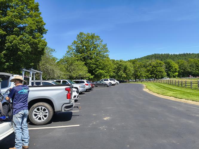
There is ample free parking at the Billings Farm and Museum Visitor Center that is across the street from the National Park entrance. There is no fee to use the trails.
Pets
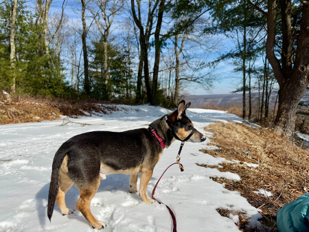
Dogs are welcome on the trails but must be kept on a leash no longer than six feet in length, owners are required to clean up any waste produced by their dog.
Accessibility
This hike is not wheelchair accessible. Hikers with limited mobility or balance issues or those with a fear of heights should not hike this trail.
Hiker amenities
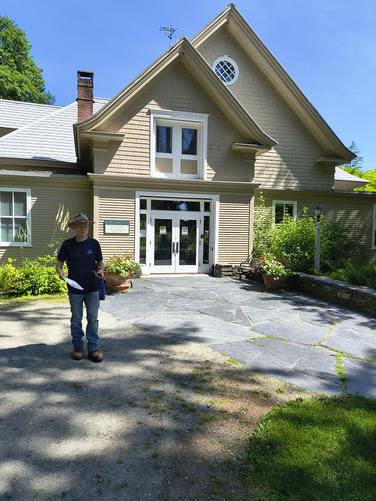
Hikers may take advantage of the restrooms, trash and water station when the National Park Carriage Barn Visitor Center is open.
Length and Trail information
This hike was done as an out and back trail that is roughly 2.3 miles in length. The hike is a moderate hike with some sections being classified as hard due to being narrow and steep.
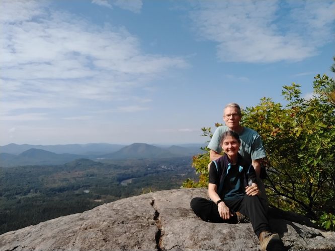
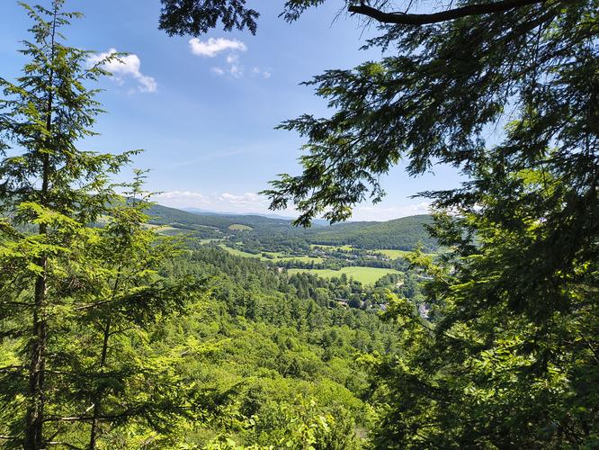
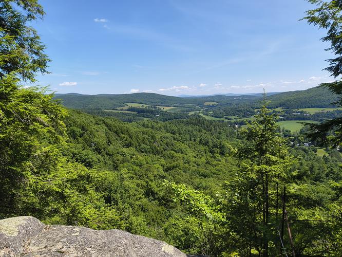
Our goal for this hike was to reach the 1250 foot South Peak Summit of Mount Tom, see the famous “Woodstock Star”,enjoy the views of the town of Woodstock Vermont in the valley below and enjoy a picnic lunch before descending.
We were scheduled to go on a tour of the Mansion at the Marsh Billings Rockefeller Park later that day and so our pace was faster than we normally hike. We were able to make it to the summit in about 45 minutes. Although the climb was somewhat harder than others we have done, we were delighted to know that we still had the strength and stamina to make such a climb.
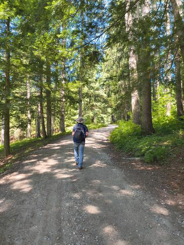
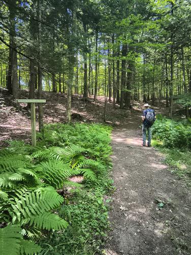
Our hike began at the National Park Carriage Barn Visitor Center and we took the Carriage Road until we saw the signage for the Precipice trails leading us into the cool dense mixed forest. The Carriage Road is very wide with a crushed gravel base devoid of any trip hazards. The trail width changes once hikers leave the Carriage Road, becoming more narrow but still with a gravel base, eventually turning more narrow and the substrate changing to a more natural base with the typical trip hazards encountered in a forest setting.
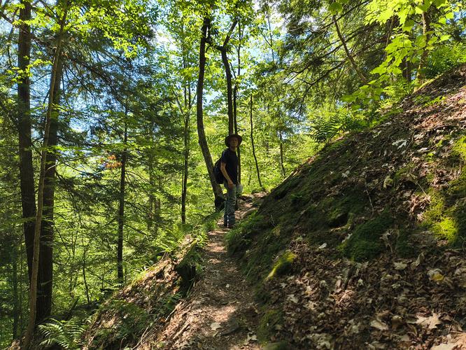
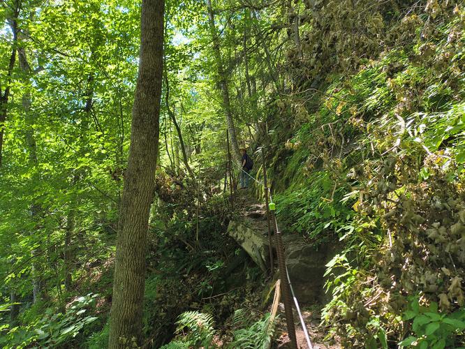
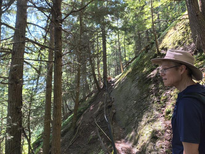
While hiking we noticed several posted warning signs stating that the Precipice Trail was “steep, rocky and has uneven footing” and they weren’t kidding. True to the trail's name, there were some sections of the rail that were right on the precipice of Mount Tom. Fortunately, there is a steel rope handrail installed along those steeper sections to make it a little safer for hikers to travel. Even with the handrails, extreme care should be given while navigating these more dangerous sections of the trail as a misstep could end quite badly.
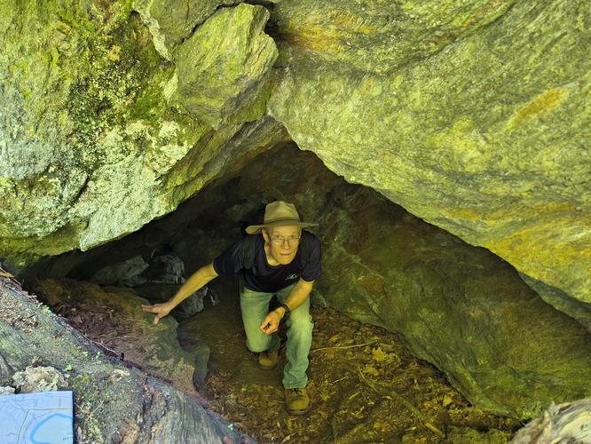
Along the hike we enjoyed seeing some interesting rock formations, one that was directly on the trail we explored while others we admired from a distance. Another interesting feature we encountered was a 2026 QR Code Billings Park Trail Users Survey. The survey is being taken to ensure that recently received funds to improve the trails are put to the best use for the hikers that use the trails on a regular basis.
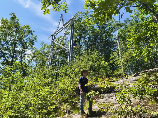
After a couple of stops along the way to hydrate and admire the view we made our way past the “Woodstock Star”. The Woodstock Star was originally made of wood and was installed atop Mount Tom by the Woodstock Electric Co. In 1942. The purpose of the star was to be a welcoming beacon to veterans returning home after World War II.The unprotected outdoor installation caused the star to deteriorate over the years and in 1985 the Woodstock Rotary Club began stewardship of the Woodstock Star. In the Fall of 2023 the Rotary Club began fundraising to replace the failing wooden star with one made of steel, to pour a new foundation and to redo the electrical wiring. Happily the Woodstock Rotary Club was able to meet their goals and the Star is once again shining brightly atop Mount Tom every evening from November to April welcoming all those who call Woodstock home.
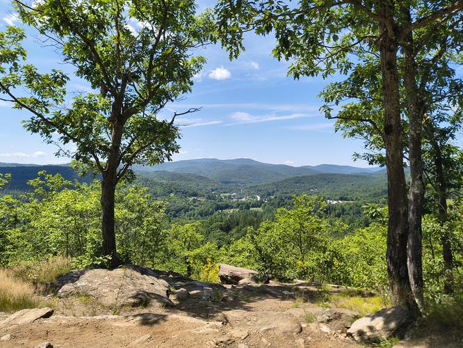
A short distance from the star we reached the South Peak summit of Mount Tom. This spot has gorgeous views of Woodstock. We noticed a few benches strategically placed to allow visitors an opportunity to rest and take in the beauty before heading back down. We chose to go back down the Precipice Trail, however the Faulkner Trail can be accessed from the summit and it is less severe with lots of switchbacks. If any hikers opt for this return they will not end up at the same parking area and will need to walk along Mountain Ave to River Street and then to Route 12 to get back to the Billings Farm and Museum Parking area. Another option would be to take the Faulkner Trail to the Upper Link Trail or the Lower Link Trail until it intersects with the Cemetery Carriage Road and head toward the Horse Sheds. The best thing to do would be to know your options in advance and bring a map. We were able to get a large detailed map from a volunteer stationed at the information booth outside of the Billings Farm and Museum parking lot.