Trail name(s)
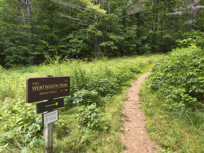
Wentworth Trail
Location
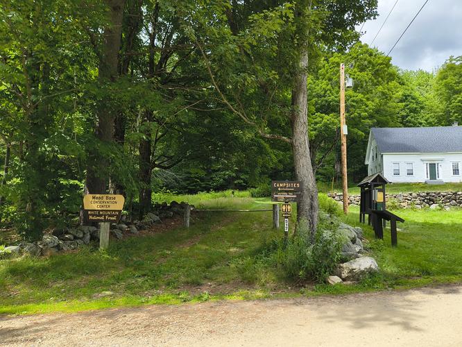
Mead Base Trailhead, Diamond Ledge Road, Sandwich NH, 43.8279 -71.4844
Permitted uses
Hiking, Nature Study
Prohibited uses
No drones, No Fireworks, No Marijuana, No fires outside of designated fire rings. No camping outside of designated sites. No damage to live or standing trees. Do not feed wildlife
Hours
There are no posted hours at the information kiosk.
Fees and Parking
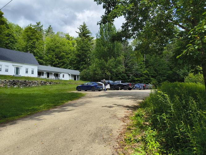
There is ample free parking at the trailhead in front of the Mead Base Conservation Center. Visitors are welcome to make a donation and there is a deposit box for that next to the information kiosk. Donations go toward the maintenance of this historic property, winter plowing and upkeep of the composting toilet.
Pets
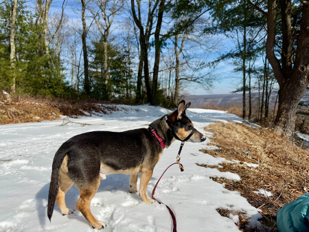
Dogs are allowed but must be kept on a leash when in campgrounds, trailheads or picnic areas. Outside of those areas they must be leashed or under voice control. Please remove all waste created by your pet.
Accessibility
This hike is not wheelchair accessible.
Hiker amenities
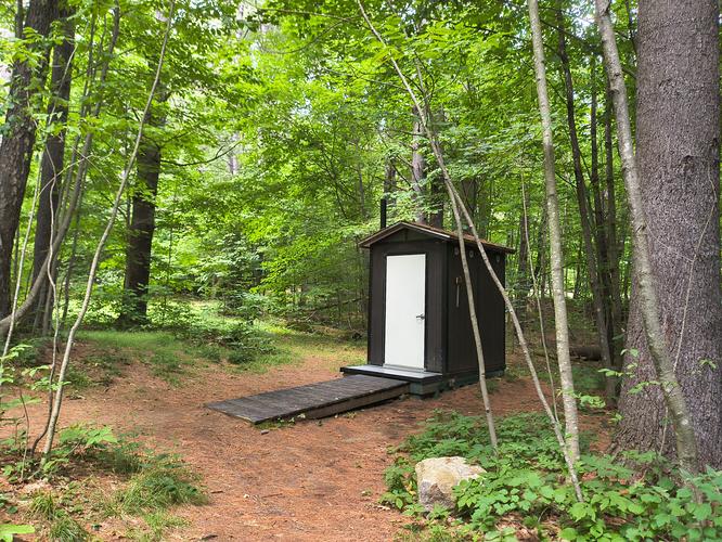
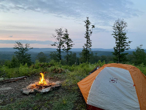
There is an information kiosk at the parking area next to the trailhead entrance. There is a map posted at the kiosk of the Sandwich Notch. There is a multi panel education plaque installed near the trailhead where visitors can learn the history of the Center and the surrounding area. There is camping available for a fee with 5 sites available adjacent to the trailhead and Center. There is a composting toilet a short distance from the Trailhead towards the Campsites. There is access to water from the trail near the Mead Base Conservation Center. There are no trash bins. Please carry out all trash created
Length and Trail information
This hike was done as an out and back hike that was roughly 4.25 miles in length. The trail is marked by a yellow blaze. The hike is classified as a moderate to hard hike with an elevation gain of 1760 feet.
Our goal for this hike was to reach the summit of Mount Israel at 2630 feet and enjoy the views of the mountains surrounding the Sandwich Notch area.
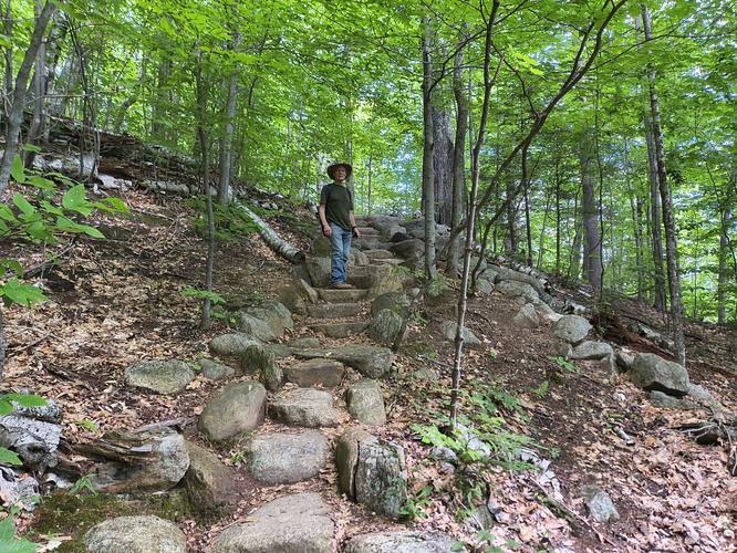
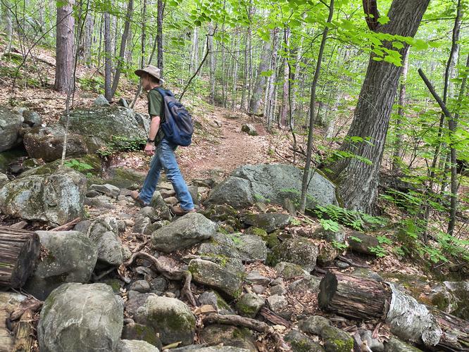
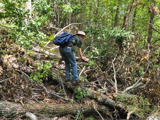
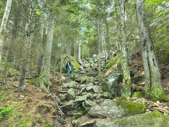
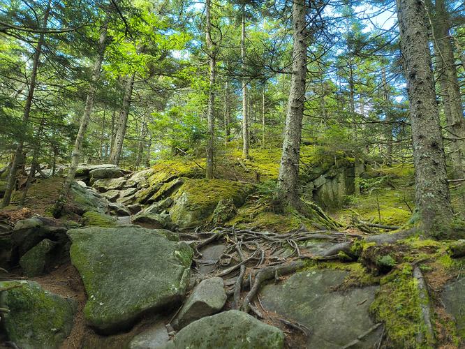
The hike has a steady steep ascent through a thick mixed forest. The trail substrate changes often and we experienced hiking on a narrow path to start, then a rocky and rooted trail. We encountered a stone staircase and rocky stream crossing as well. Maintenance along the trail is needed but government funds have been cut or removed entirely for this purpose. When we came to a large section of fallen trees and debris along the trail, we had to navigate around the mess. Even without government support,the Wentworth Trail gets many visitors, so it's well traveled and paths around the fallen trees had been made by hikers who came before our visit. We had some very steep rocky scrambles followed by steep root strewn substrate. Make sure to bring plenty of water and take breaks to catch your breath, especially if you're hiking on a hot humid day like we were. While it can be difficult to hike a steep trail, it does force you to slow down and take your time. During one of our rests we were able to catch sight of a tiny vole like creature about as big as an adult thumbnail. Taking your time allows you to focus on the beauty that surrounds you that you might otherwise miss hiking at a faster pace.
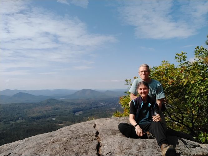
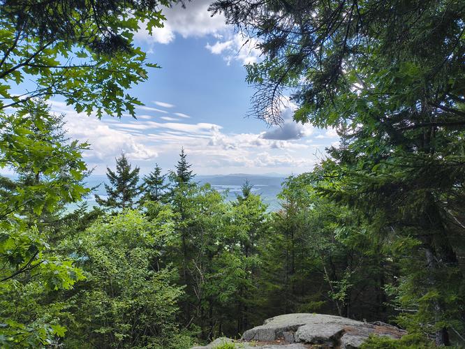
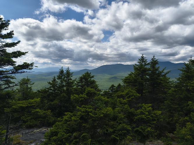
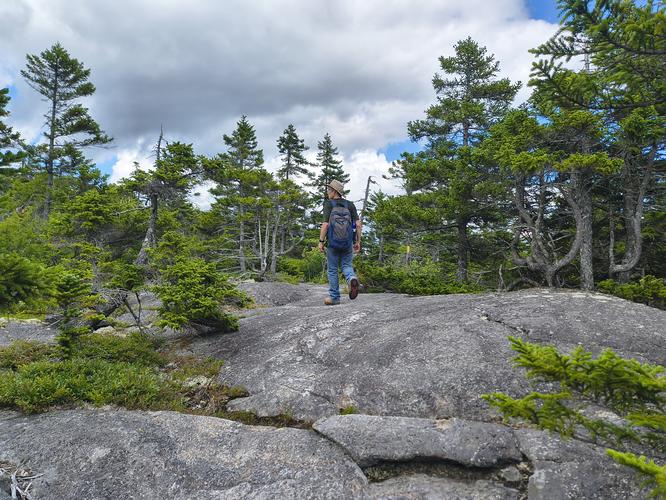
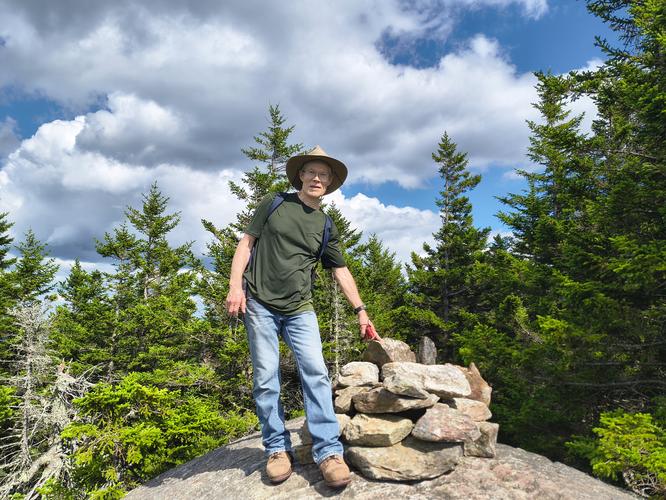
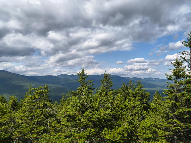
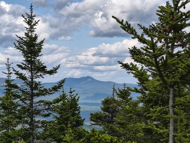
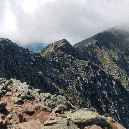
We noticed that the trees were gradually becoming shorter as we climbed and we knew the summit was close. The trail opened up to an expansive rocky plaza and we could spot the rock cairn marking the summit of Mount Israel. Despite the summer haze, we were lucky to enjoy some excellent views of the surrounding mountains including Mount Chocorua to the north and Mount Kearsarge to the south, not to mention several others that we could not name. We shed our backpacks and explored the rocky plaza, took some photos and enjoyed a snack.
The hike down was quicker due to the steady steep descent. Use caution and take breaks going down as many sections of the trail are difficult to navigate while trying to “keep the brakes on”. It was an enjoyable hike with gorgeous views to reward our efforts. This trail will give you a good workout and get your heart pumping.