Big A Trail
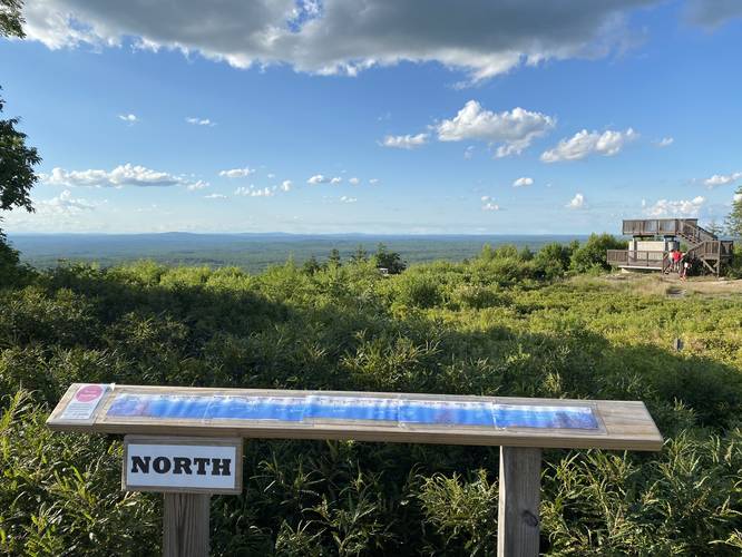
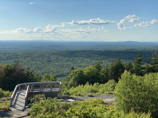
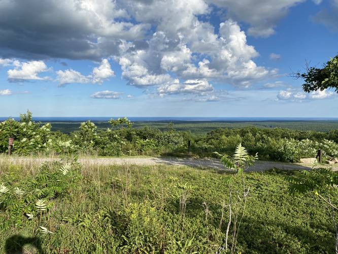
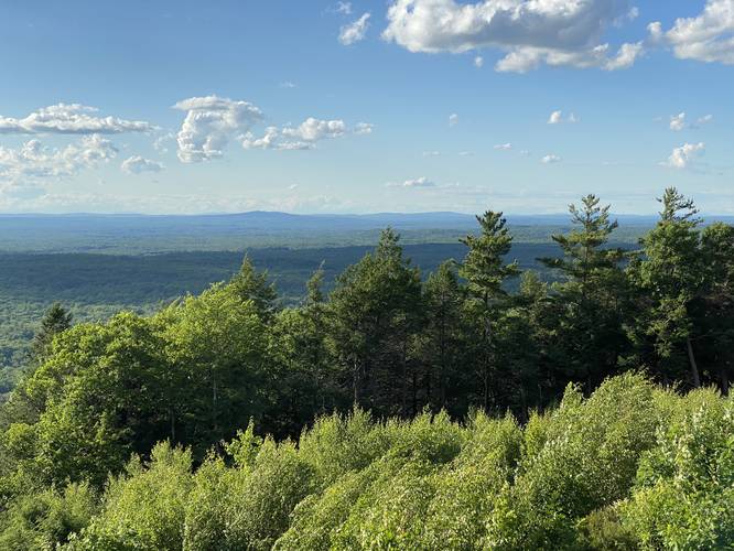
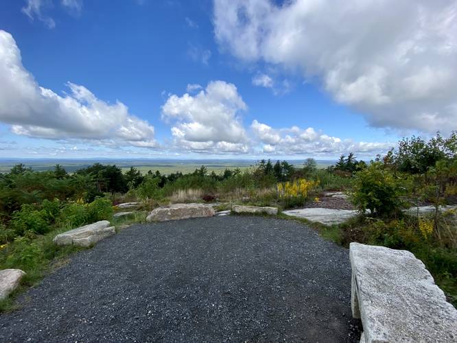
This trail leads from the parking lot and runs along the summit of the mountain with 360 degree views. The trail is a certified Universal Access trail, so anyone of all ages can enjoy the views from along the Big A Trail.
This is one of the best hiking trails in southern Maine with views of the Presidential Range in the White Mountains, York, Ogunquit, Wells, and Kennebuckport can all be seen from lookout points as well.
Pets
Dogs are allowed if leashed and their waste must be carried out by the hiker.
Know Before You Go
Interactive topographic map for Big A Trail located in York, ME. Click the "View Map" button to load GPS coordinates and trail markers.
View map
Get directions
- Distance
- 1.0 mi
- Difficulty
- Easy
- Type
- Loop
- Est. Time
- 30 min
- Elev. Gain
- 98'
- Rating
- 0.0
- Added
- August 26, 2016
- Updated
- July 03, 2020
Weather Forecast
Don't let Google decide who you trust.


Loading...
<strong>Trail map and elevation chart not rendering in print mode?</strong> Simply scroll to the trail map section, then try printing again!
Total Change
59 ft.
18 m
18 m
Ascent
98 ft.
30 m
30 m
Descent
94 ft.
29 m
29 m
Loading...
Features
- Vista / Lookout Point
- Dogs
- Mountain Summit
Points of interest
-
Parking
43.222883, -70.692648 -
Main Trailhead
43.222483, -70.693258 -
Vista point facing White Mountains north
43.223919, -70.692314 -
Vista point facing White Mountains northwest
43.224372, -70.692092
-
Parking
43.222883, -70.692648 -
Main Trailhead
43.222483, -70.693258
Safety information
For your own safety: plan ahead, let someone know where you'll be, and hike at your own risk.
Availability
All seasons
Surface type
Universal Access
Trip Reports (Reviews)
Ready to help fellow hikers? Add a trip report to share your experience!
Explore other routes for this Trail guide, added by the MyHikes' community via Trip Reports (Reviews). To add your own hike as a Community Route for this Trail guide, leave a Trip Report and attached your GPX file!
-
View Trail Map
Hiker: Dave Miller (Admin)Hiked on: July 12, 2020Distance: 0.7 miles / 1.1 km


You may also like

Explore
Best of the Alps: Hiking, Adventure & Scenery
Plan your ultimate European Alps adventure! Discover the best hiking trails, epic scenery, and villages in the Swiss Alps, Dolomites, Chamonix, and Lake Como.

Explore
Colorado's Million Dollar Highway
Plan a day's drive adventure along the iconic Million Dollar Highway in Colorado. Explore the best short trails, roadside stops, waterfalls, vistas, ghost towns, and hot springs within a ~6 hour road trip.

Explore
Glacier's Going-to-the-Sun Road
Discover the breathtaking beauty of Glacier National Park along the iconic Going-to-the-Sun Road. From stunning roadside stops to picturesque waterfalls and vistas, this engineering marvel offers endless opportunities for exploration.

Explore
Hike Washington's National Parks & Forests
Find the best day hikes in Washington's National Parks and Forests. Explore panoramic alpine vistas, turquoise lakes, and stunning waterfalls.
mt. agamenticus conservation region

