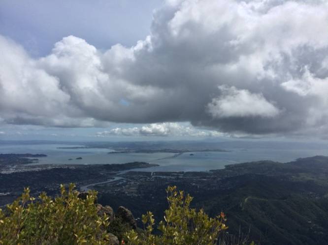
This Mount Tamalpais loop hike is a strenuous 16.8 mile hike that ascends the mountain to the East and West Points, with views along the way.
This hike starts out at Stinson Beach and climbs the Steep Ravine trail up to East Peak, heads over to the West Peak, then loops back from the north along various trails and roads.
If you're not familiar with the area, it's recommended that you purchase a map of the area before you head out, otherwise the returning hike on this route can be confusing. Alternatively, if you wanted to skip the northern section of the hike, you could hike the Steep Ravine Trail, along with a couple of other trails, to the East and West Points before heading back the same way.
Hiking directions:
1. Hike the Dispea Trail for 1.4 miles from Stinson Beach to Steep Ravine Trail. The Steep Ravine trail also runs along a creek that you can use to filter water.
2. Once you reach the end of the Steep Ravine Trail, take the Matt Davis Trail after reaching the Pantoll Campground - hike it until you reach the Nora Trail after 1.9 miles.
3. The Nora Trail leads to the Mt Tam West Point - from the West Point, hike along the Old Railroad Grade Road toward Ridgecrest Blvd.
4. Hike along the Old Railroad Grade Road for 1.43 miles until you reach the Ridgecrest Blvd - take a right-hand turn here and follow the road up to the Mount Tam East Point.
5. After reaching the Mt Tam East Point, hike back down Ridgecrest Blvd and stay right at the fork where Ridgecrest Blvd meets the Old Railroad Grade Road - continue hiking along Middle Peak Rd here.
6. Middle Peak Rd will lead you to the Lakeview Trail. Take the Lakeview Trail until you reach Ridgecrest Rd again.
7. Hike down Ridgecrest Rd for about 0.1 miles before hopping on the International Trail.
8. Hike along the International Trail for 0.5 miles before you reach the Northside Trail.
9. Take a left-hand turn at the Northside Trail and follow this for 0.6 miles until you reach Potrero Meadows.
10. At Potrero Meadows, follow Rock Springs Lagunitas Rd for 0.1 miles to a trail heading southwest. Follow this trail until you hit the Kent Trail Rd. Follow Kent Trail Rd until you reach Laurel Dell Rd and follow that for 0.2 miles over to Barths Retreat Rd.
11. From the end of Barths Retreat Rd take the Mickey O’Brien Trail (right-hand turn) to the Cataract Trail.
12. From the Cataract Trail take a right-hand turn to head towards the Laurel Dell Rd, then cross Ridgecrest Rd to follow Willow Campfire Rd.
13. Shortly after hiking down Willow Campfire Rd, take your next immediate left-hand turn onto the Coastal Trail
14. Follow the Coastal Trail for 1.4 miles before hitting a trail junction that leads west down the mountain along 20 switchbacks and back to parking.
For more details, check out the Norcalhiker blog post about this trip.