The Mount Moosilauke and South Peak Loop at the White Mountain National Forest in Warren, New Hampshire is a difficult 8.2-mile loop hike that covers three trails and summits Mount Moosilauke and South Peak.
Trails: Gorge Brook Trail, Carriage Road, Snapper Trail.
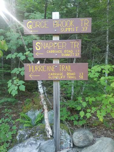
This hike starts off along Ravine Road at the parking area and heads towards the main trailhead, found roughly 0.3-miles up the road. The initial hike in follows the Gorge Brook Trail and keeps right at the fork. The Gorge Brook Trail follows the brook for the first mile or so before slowly and steadily climbing up towards the beautiful, grassy summit. The trail was highly-trafficked and very well marked, with good signage at most trail intersections.
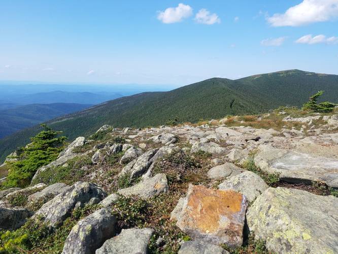
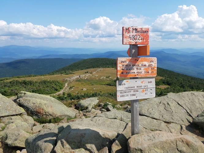
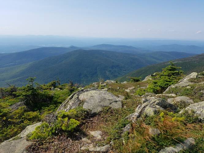
The summit has great 360-degree views, but remember to stay on the main rocky sections and don't trample the grass at the top. To make this trail a loop, you'll hike the Carriage Road (Appalachian Trail / AT) over to the Snapper Trail, and make a stop at the South Peak on your way down.
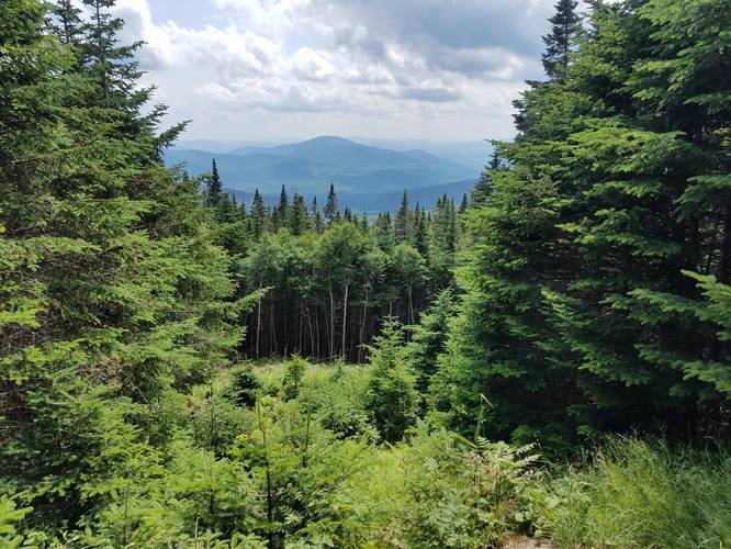
Views: This hike features stunning 360-degree views of the White Mountains and surrounding area. Both Mount Moosilauke and South Peak provide views and the ridge trail (Carriage Road / AT) that connects the two also features stunning views.
What to bring: The summit is quite exposed, so remember your sunscreen, and although there weren't many bugs, I bug spray is recommended.
Elevation: Despite the somewhat long distance, this trail felt pretty moderate for a 4,000-ft mountain; however, may be more difficult for some hikers.
Parking: Parking can be found along Ravine Road by the parking coordinates provided.
Trails: Gorge Brook Trail, Carriage Road, Snapper Trail.
This hike starts off along Ravine Road at the parking area and heads towards the main trailhead, found roughly 0.3-miles up the road. The initial hike in follows the Gorge Brook Trail and keeps right at the fork. The Gorge Brook Trail follows the brook for the first mile or so before slowly and steadily climbing up towards the beautiful, grassy summit. The trail was highly-trafficked and very well marked, with good signage at most trail intersections.
The summit has great 360-degree views, but remember to stay on the main rocky sections and don't trample the grass at the top. To make this trail a loop, you'll hike the Carriage Road (Appalachian Trail / AT) over to the Snapper Trail, and make a stop at the South Peak on your way down.
Views: This hike features stunning 360-degree views of the White Mountains and surrounding area. Both Mount Moosilauke and South Peak provide views and the ridge trail (Carriage Road / AT) that connects the two also features stunning views.
What to bring: The summit is quite exposed, so remember your sunscreen, and although there weren't many bugs, I bug spray is recommended.
Elevation: Despite the somewhat long distance, this trail felt pretty moderate for a 4,000-ft mountain; however, may be more difficult for some hikers.
Parking: Parking can be found along Ravine Road by the parking coordinates provided.