The Morrison Loop Trail at Allegheny National Forest in Bradford, Pennsylvania is a moderate 5.5 mile hike that runs along two creeks and passes through one of Allegheny National Forest's oil fields.
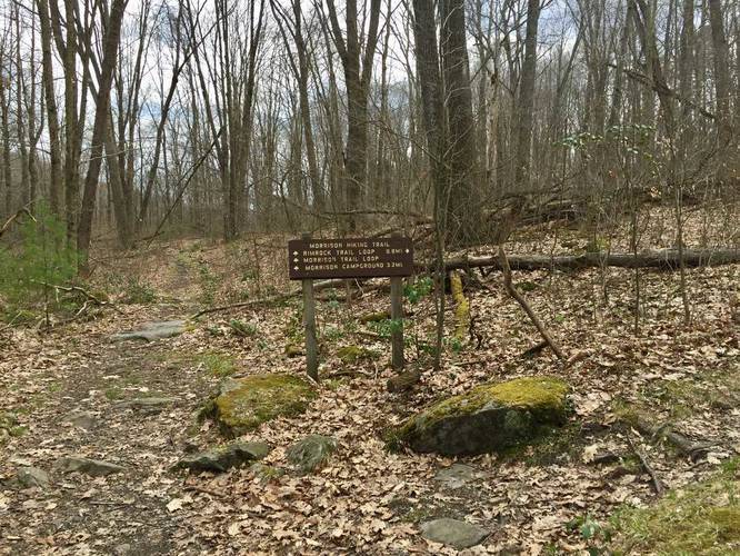
The hike starts off at the Morrison Loop / Rimrock Loop trailhead along PA-59, just east of road for the Rimrock Overlook parking lot. Follow the spur trail from the parking lot until you reach the first trail junction. This recording heads right at the trail junction since heading this way gives you a more gradual climb when hiking back uphill later.
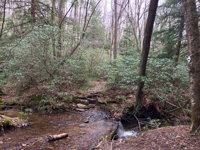
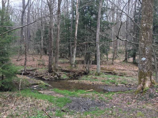
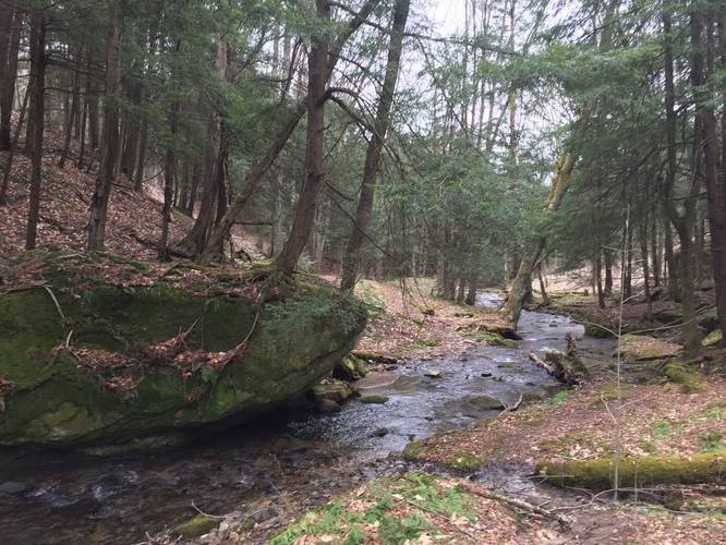
After the first trail junction, you'll quickly hit another junction - at the sign, stay left to head downhill along the creek. As you hike downhill along the creek, you'll find a unique section of the trail that has massive boulders scattered within the ravine, covered in moss. You can also find a campsite across the creek that sits atop one of these boulders. Eventually you'll have to cross this creek, which can be deep in the Spring, to get to the 3rd trail junction.
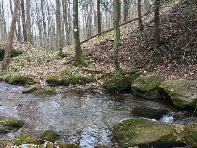
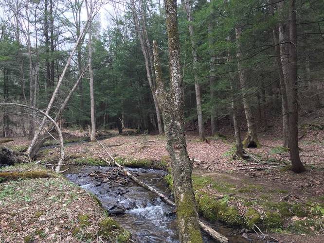
At the 3rd trail junction (found at the southeastern tip of this trail) is where you need to take a left-hand turn to stay on the Morrison Loop Trail. After this trail junction, you'll be crossing Morrison Run (the creek that the trail follows) numerous times while hiking gradually uphill back towards PA-59. Please note that there's at least one wide and deep creek crossing - you may need to scan the creek for a couple hundred feet to find a good place to cross.
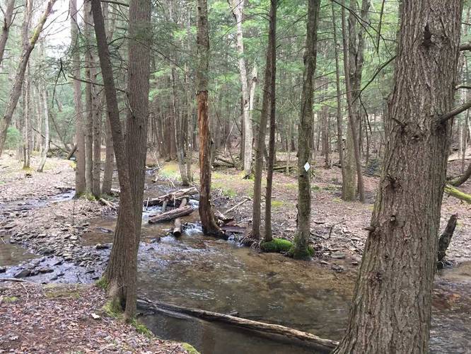
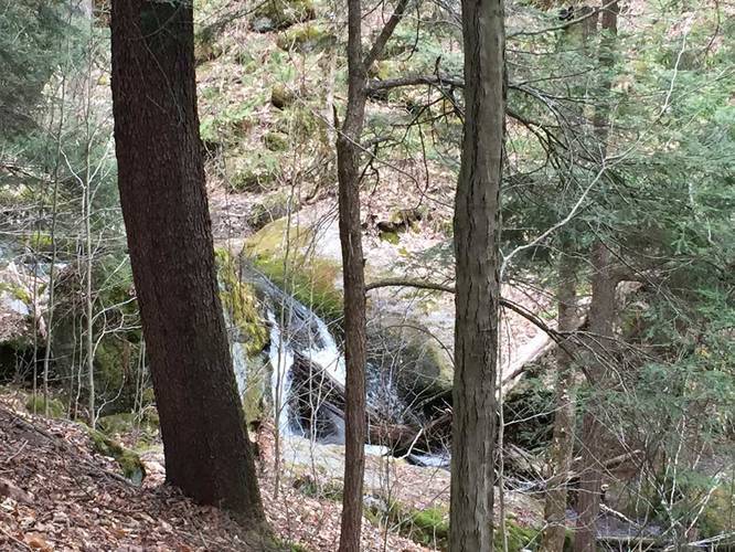
Waterfalls: In the Spring and after heavier rainfalls, you can find some small waterfalls along Morrison Run - mostly under 5 feet tall.
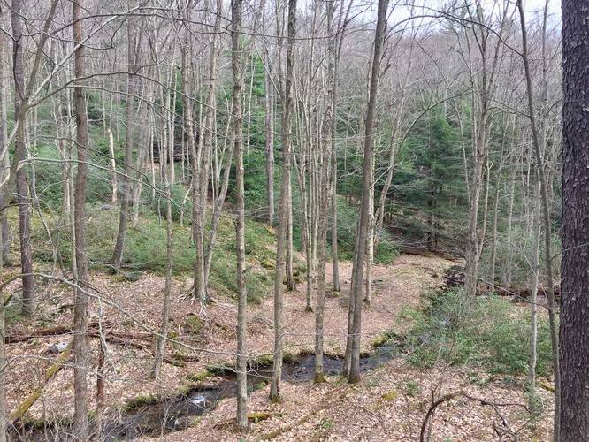
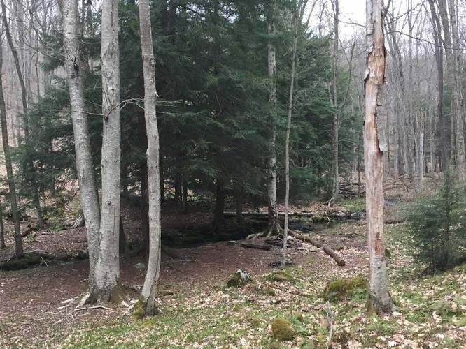
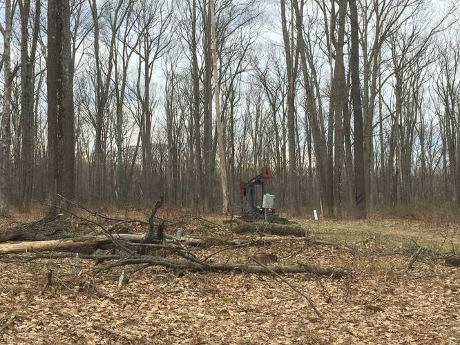
Campsites: Most of the campsites along this trail are found next to the creek along Morrison Run. There are no predefined campsites along the northern portion of this trail, from what we saw, which was disappointing; however, this is where the oil drills are.
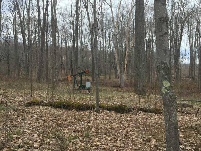
Oil drills: In the northern part of the trail are the oil fields, which is likely why there aren't campsites along that stretch. The oil fields are less 'fields' and more segmented oil drills scattered throughout the forest. Sometimes you can smell the natural gas as well.
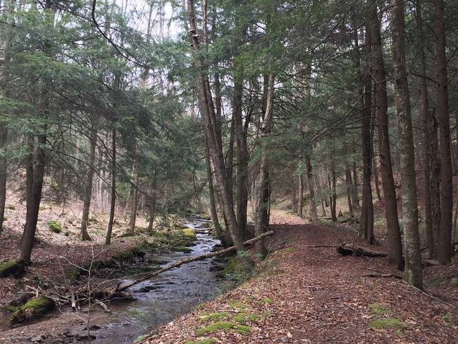
Filtering Water: Hikers can filter the water along the creeks. Also note that there's potable water by the Morrison Campground along the Rimrock Loop Trail (Morrison Campground can be found by the picture marker on that trail page).
Creek Crossings: We had to cross Morrison Run and the other creek numerous times, it must have been close to 15 times throughout the whole hike, so water resistant boots will help on this trail. Most of them were not very deep, even in the Spring, but a couple were.
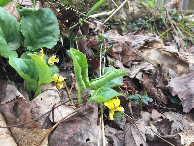
Wildflowers: In the Spring, you can find yellow violets and trillium along the sides of the trails.
The hike starts off at the Morrison Loop / Rimrock Loop trailhead along PA-59, just east of road for the Rimrock Overlook parking lot. Follow the spur trail from the parking lot until you reach the first trail junction. This recording heads right at the trail junction since heading this way gives you a more gradual climb when hiking back uphill later.
After the first trail junction, you'll quickly hit another junction - at the sign, stay left to head downhill along the creek. As you hike downhill along the creek, you'll find a unique section of the trail that has massive boulders scattered within the ravine, covered in moss. You can also find a campsite across the creek that sits atop one of these boulders. Eventually you'll have to cross this creek, which can be deep in the Spring, to get to the 3rd trail junction.
At the 3rd trail junction (found at the southeastern tip of this trail) is where you need to take a left-hand turn to stay on the Morrison Loop Trail. After this trail junction, you'll be crossing Morrison Run (the creek that the trail follows) numerous times while hiking gradually uphill back towards PA-59. Please note that there's at least one wide and deep creek crossing - you may need to scan the creek for a couple hundred feet to find a good place to cross.
Waterfalls: In the Spring and after heavier rainfalls, you can find some small waterfalls along Morrison Run - mostly under 5 feet tall.
Campsites: Most of the campsites along this trail are found next to the creek along Morrison Run. There are no predefined campsites along the northern portion of this trail, from what we saw, which was disappointing; however, this is where the oil drills are.
Oil drills: In the northern part of the trail are the oil fields, which is likely why there aren't campsites along that stretch. The oil fields are less 'fields' and more segmented oil drills scattered throughout the forest. Sometimes you can smell the natural gas as well.
Filtering Water: Hikers can filter the water along the creeks. Also note that there's potable water by the Morrison Campground along the Rimrock Loop Trail (Morrison Campground can be found by the picture marker on that trail page).
Creek Crossings: We had to cross Morrison Run and the other creek numerous times, it must have been close to 15 times throughout the whole hike, so water resistant boots will help on this trail. Most of them were not very deep, even in the Spring, but a couple were.
Wildflowers: In the Spring, you can find yellow violets and trillium along the sides of the trails.