Mill Mountain & Little Stony Creak Loop at George Washington National Forest near Maurertown, Virginia is a difficult 11.8-mile hike that features backpacking opportunities and a vista from the ridge of Mill Mountain.
Hike
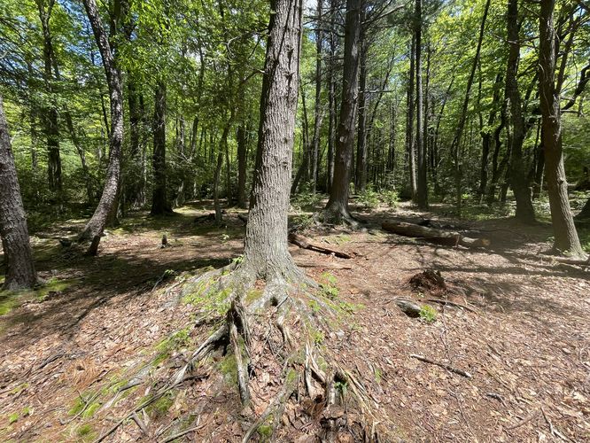
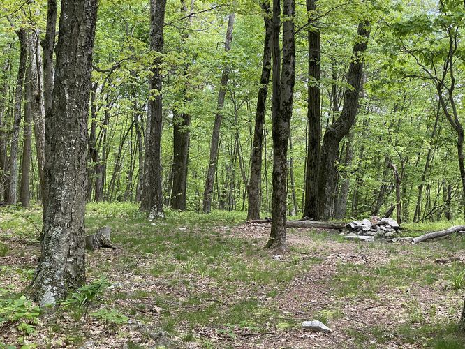
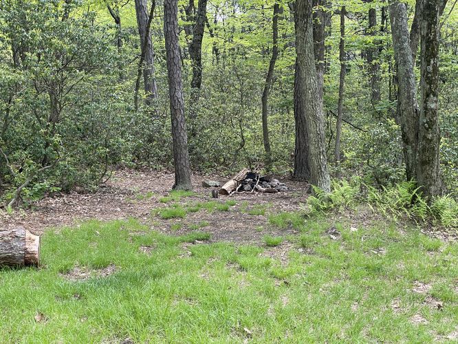
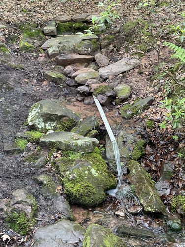
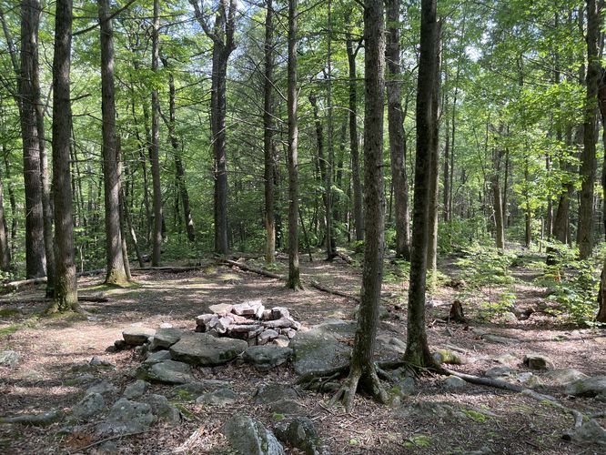
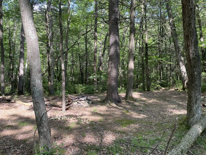
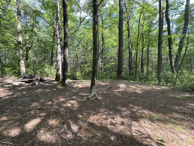
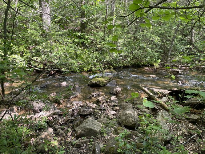
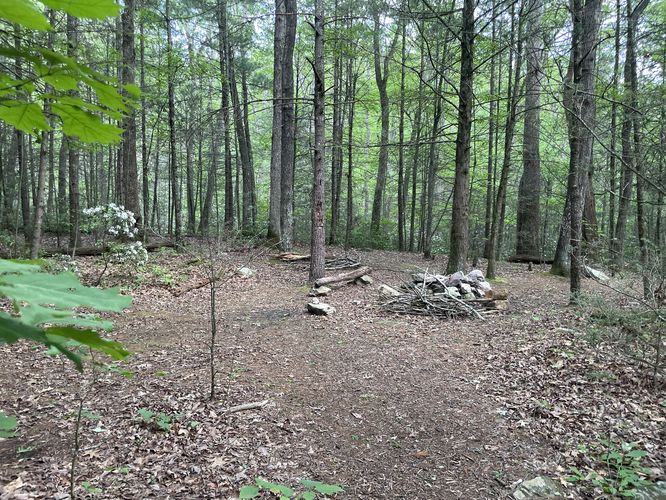
This loop is one of the best camping backpacks in the Great North Mountain area. Starting at FR92 the initial climb up the Big Schloss Cutoff trail to the intersection of the Mill Mountain Trail and ridge is the steepest section of the circuit at 1.9miles and 1190ft gain. Once on the ridge it is an easy hike before you arrive at Sandstone Spring and very large camping area suitable for 15+ tents. The camping is to the right of the spring about 75 yards uphill. The hike continues to the intersection of the Tuscarora trail where you turn right for a short hike to the next intersection with the Little Stony Creek Trail. Just before the intersection there is a campsite. Head downhill on the Little Stony Creek Trail and in 75 yards pass the Sugar Knob Trail and just beyond the cabin is the Sugar Knob Cabin spring. In the last mile before arriving back at FR92 there are several excellent campsites next to the creek. Hike a short distance on FR92 back to the parking at the Big Schloss Cutoff Trail.
Camping & Backpacking
Dispersed / primitive / backcountry camping is permitted along the trail and backpackers will find several campsites along the loop at the POI listed. If planning to camp, please follow all National Forest camping rules.
Pets
Dogs are allowed if leashed and should be cleaned up after.
Hike
This loop is one of the best camping backpacks in the Great North Mountain area. Starting at FR92 the initial climb up the Big Schloss Cutoff trail to the intersection of the Mill Mountain Trail and ridge is the steepest section of the circuit at 1.9miles and 1190ft gain. Once on the ridge it is an easy hike before you arrive at Sandstone Spring and very large camping area suitable for 15+ tents. The camping is to the right of the spring about 75 yards uphill. The hike continues to the intersection of the Tuscarora trail where you turn right for a short hike to the next intersection with the Little Stony Creek Trail. Just before the intersection there is a campsite. Head downhill on the Little Stony Creek Trail and in 75 yards pass the Sugar Knob Trail and just beyond the cabin is the Sugar Knob Cabin spring. In the last mile before arriving back at FR92 there are several excellent campsites next to the creek. Hike a short distance on FR92 back to the parking at the Big Schloss Cutoff Trail.
Camping & Backpacking
Dispersed / primitive / backcountry camping is permitted along the trail and backpackers will find several campsites along the loop at the POI listed. If planning to camp, please follow all National Forest camping rules.
Pets
Dogs are allowed if leashed and should be cleaned up after.