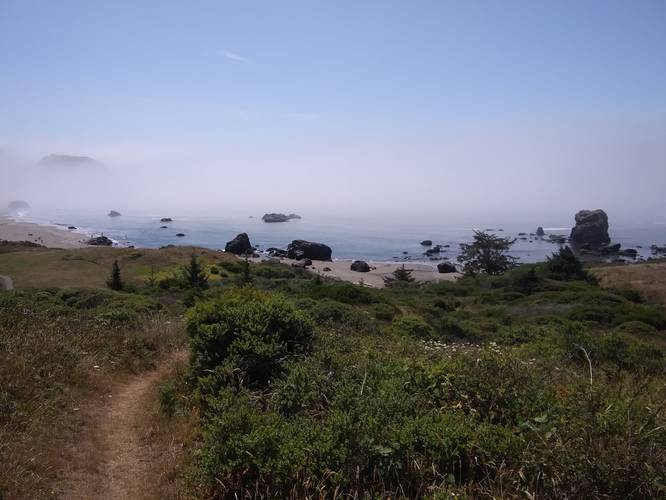
Lone Ranch Beach Trail
This hike begins at the main parking lot and heads northwest and then eventually north. The trail heads uphill towards the Cape Farrelo Viewpoint (and parking lot), where this trail ends and turns around.
Hikers can continue north along this trail for a couple more miles to reach the Rock House Viewpoint; however, that section of this trail is not included in this trail map.
Pets: Dogs are allowed on this trail if leashed and their waste must be carried out by the hiker.
Know Before You Go
Interactive topographic map for Lone Ranch Beach Trail located in Brookings, OR. Click the "View Map" button to load GPS coordinates and trail markers.
View map
Get directions
- Distance
- 1.1 mi
- Difficulty
- Moderate
- Type
- Out-and-Back
- Est. Time
- 33 min
- Elev. Gain
- 339'
- Rating
- 0.0
- Added
- August 12, 2019
- Updated
- September 18, 2019
Weather Forecast
Don't let Google decide who you trust.


Loading...
<strong>Trail map and elevation chart not rendering in print mode?</strong> Simply scroll to the trail map section, then try printing again!
Total Change
309 ft.
94 m
94 m
Ascent
339 ft.
103 m
103 m
Descent
344 ft.
105 m
105 m
Loading...
Features
- Vista / Lookout Point
- Dogs
- Biking
Points of interest
-
Parking
42.10076, -124.34399 -
Main Trailhead
42.100708, -124.34416 -
Trail junction halfway through the hike
42.104626, -124.347657
Safety information
For your own safety: plan ahead, let someone know where you'll be, and hike at your own risk.
Hazards
Snakes (Rattlesnakes, Copperheads, others)
Poison Ivy or Poison Oak
Availability
All seasons
Surface type
Dirt
Trip Reports (Reviews)
Ready to help fellow hikers? Add a trip report to share your experience!
No community routes found. To add your own hike as a Community Route for this Trail guide, leave a Trip Report with an attached GPX file.


You may also like

Explore
Hike Washington's National Parks & Forests
Find the best day hikes in Washington's National Parks and Forests. Explore panoramic alpine vistas, turquoise lakes, and stunning waterfalls.

Explore
Glacier's Going-to-the-Sun Road
Discover the breathtaking beauty of Glacier National Park along the iconic Going-to-the-Sun Road. From stunning roadside stops to picturesque waterfalls and vistas, this engineering marvel offers endless opportunities for exploration.

Explore
Colorado's Million Dollar Highway
Plan a day's drive adventure along the iconic Million Dollar Highway in Colorado. Explore the best short trails, roadside stops, waterfalls, vistas, ghost towns, and hot springs within a ~6 hour road trip.

Explore
Best of the Alps: Hiking, Adventure & Scenery
Plan your ultimate European Alps adventure! Discover the best hiking trails, epic scenery, and villages in the Swiss Alps, Dolomites, Chamonix, and Lake Como.
a park

