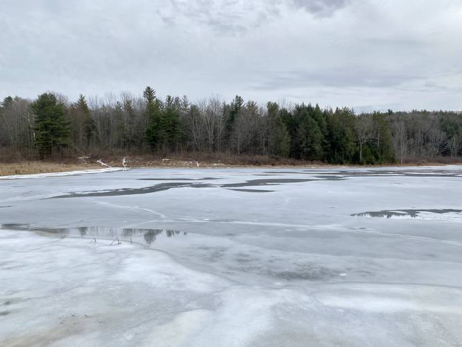
The Levi Pond Trail at Pinnacle State Park in Addison, New York is an easy 0.4-mile out-and-back hike that leads to a nice view of the pond from its shoreline.
Hike Description
This hike begins at the parking coordinates provided, located at the end of Ackerson Road in Addison, NY at the trail kiosk and follows the blue blazes of the Blue Loop Trail down to Levi Pond.
Note that there are technically two trailheads here - the Blue Loop Trail (blue blazes aka Levi Pond Trail) and the Crystal Hills Trail (orange blazes). This track follows the blue blazes of the Blue Loop Trail down the hill until it joins with the Crystal Hills Trail about 150-feet from the trailhead. Hikers can choose either route as it really doesn't matter. Not much further down from the junction of both trails is where the shoreline for Levi Pond (aka Addison Pond) is found.
Once at the pond, hikers can take a left-hand turn to stay on the Crystal Hills Trail or take a right-hand turn to follow the shoreline along the Blue Loop Trail - this track follows the blue blazes. Note that as of December 2022, the Blue Loop Trail is very overgrown and not maintained beyond Levi Pond, hence the very short 0.4-mile out-and-back hike here.
Parking
Hikers will find parking at the end of Ackerson Road by the trailhead kiosk for McCarthy Hill State Forest. Note that the trail kiosk has a map that includes both parks - McCarthy Hill State Forest and Pinnacle State Park. Levi Pond technically sits within the state park boundaries.
Pets
Dogs are allowed if leashed and their waste should be carried out by the hiker.
Camping and Backpacking
While backpacking the Crystal Hills Trail / Finger Lakes Trail system is permitted, there is no camping allowed along this trail or at Levi Pond.