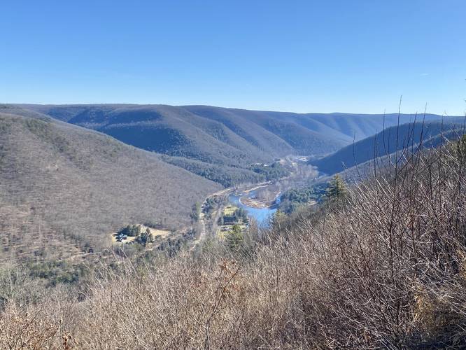
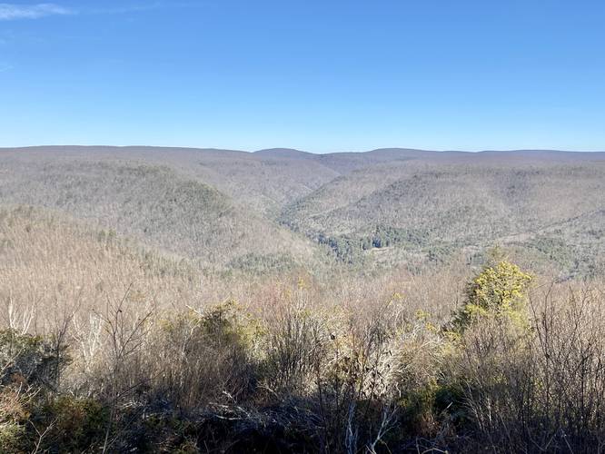
The Lebo Vista Loop at Tiadaghton State Forest near Cammal, Pennsylvania is an easy 0.2-mile loop walk that features stunning views of the PA Grand Canyon.
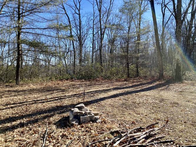
This is not necessarily a hike, but rather a short loop walk that begins at the driveable overlook named Levo Vista. The Lebo Vista is a roadside view that requires no hiking to enjoy. Visitors can drive up to enjoy the 180-degree views of the PA Grand Canyon and take a short walk along an optional trail if they wish to stretch their legs. The trailhead is located next to the parking lot and heads up a very short, but steep hill. At the top of the hill is a moss-covered path that leads to a roadside campsite. After passing the campsite, take a left-hand turn on the road to return to parking.
Parking
Visitors will find a parking turnout located next to Lebo Vista located right on the dirt road.
Pets
Dogs are allowed if leashed and their waste must be carried out by the hiker.
Camping
There's a car / roadside campsite located along the trail. Visitors will pass this campsite on their drive in to the vista. Please follow all backcountry / dispersed / primitive camping rules when camping or backpacking at Tiadaghton State Forest.