Loading...

WINTER SALE! 50% OFF Supporter Accounts — now through January 31st. Learn More.

Davis Run Loop Trail

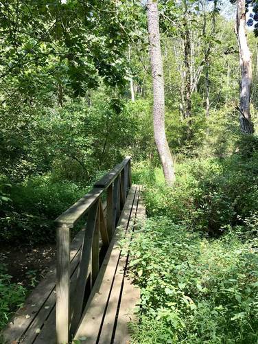
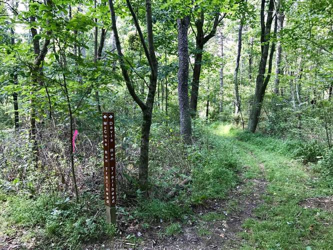
The Davis Run Loop Trail at Keystone State Park, Pennsylvania, is a moderate 3 mile hike that starts on the northeastern side of Keystone Lake and runs toward the eastern corner of the park before looping back.

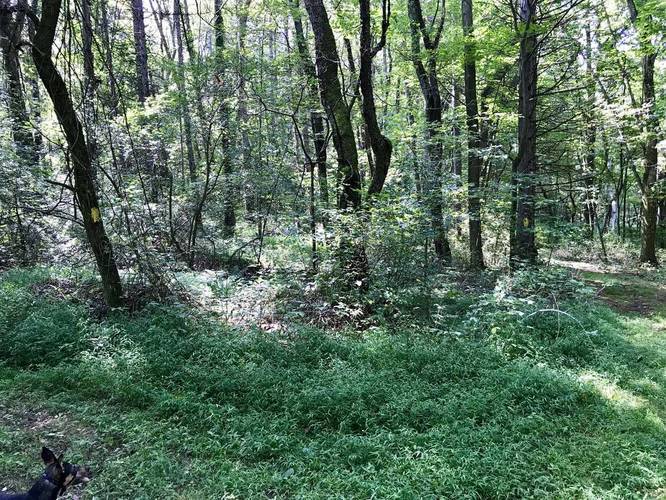
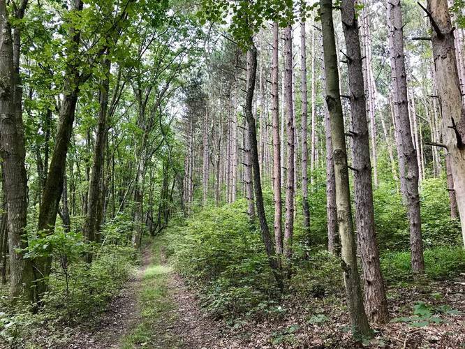
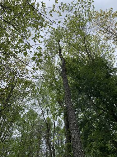
The trail starts out by heading toward the wetland area of Keystone Lake before heading uphill and winding through deciduous trees and some small patches of evergreens and pines.

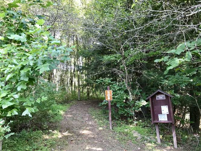
Follow the yellow blazes and check your map often since there are various ways you can hike on this loop. There are a few connector trails that run between the main loop, so either stay left or stay right on the loop depending on which direction you hike the loop in. There are some signs along the trail that you can follow back to the trailhead, but note that almost all of the trails at Keystone State Park use yellow blazes, which can make this hike confusing.

Pets
Dogs are allowed if leashed.

Prohibited
Biking is prohibited on all of the trails at Keystone State Park.

Parking
Parking can be found directly across the street at the main parking lot on the northeast side of Keystone Lake.
Explore 129 trails near Derry, PA

Know Before You Go

  • The Davis Run Loop Trail is a 3-mile moderate hike located in Keystone State Park, Derry, PA, starting on the northeast side of Keystone Lake.
  • The trail features diverse scenery, including wetlands, deciduous forests, and patches of evergreens and pines.
  • Navigation can be challenging due to numerous connector trails and the consistent use of yellow blazes throughout the park; it's advised to frequently consult a map and follow signs carefully.
Interactive topographic map for Davis Run Loop Trail located in Derry, PA. Click the "View Map" button to load GPS coordinates and trail markers.
Get directions
Distance
3.0 mi
Difficulty
Moderate
Type
Loop
Est. Time
1.5 hrs
Elev. Gain
343'
Rating
0.0
Added
August 26, 2017
Updated
May 28, 2020

Weather Forecast

Loading...
Total Change
248'
Ascent
343'
Descent
331'
Loading...

Download the GPX Data for Offline Use

Supporters get exclusive access to download trail routes to the MyHikes app for offline use. Stay prepared on your adventure, even without an internet connection! Become a Supporter today to unlock this feature and hike with confidence.

Download Davis Run Loop Trail GPX Data to the MyHikes Mobile App

Features

Dogs
Water Source

Points of interest

  1. Parking

    40.374664, -79.378369
  2. Main Trailhead

    40.374491, -79.376624
  3. Bridge crossing

    40.377194, -79.375328
    Bridge crossing
  4. Trailhead sign

    40.374717, -79.376786
    Trailhead sign

Safety information

For your own safety: plan ahead, let someone know where you'll be, and hike at your own risk.

Markers

Blaze Color

Yellow

Availability

All seasons

Surface type

Dirt

Trip Reports (Reviews)

Your opinion matters! Be the first to rate this trail.

Ready to help fellow hikers? Add a trip report to share your experience and provide valuable insights for other hikers!

3.0 miles / 4.8 km
May 20, 2020
very confusing without a map, the trailheads all had different colors and I have no clue which trail we were actually on. Besides that, it was a beautiful hike. There were a few fallen trees, but it was well maintained besides that. Park at the main "beach" of the lake, by the playground, and walk across the street towards the bridge to start on the trail.
Hiking
3.0 miles / 4.8 km
August 27, 2017
Hiking
No community routes found. To add your own hike as a Community Route for this Trail guide, leave a Trip Report with an attached GPX file.

Popular categories

Scenic mountain view representing vista trails
Vista trails
Scenic gorge of cascades representing waterfall trails
Waterfall hikes
Rugged mountain terrain representing summit trails
Summit trails
Scenic mountain view representing dog-friendly trails
Dog-friendly
Scenic campsite with a view representing camping trails
Camping trails
Appalachian Trail logo representing A.T. hikes
A.T. hikes

You May Also Like

New York's Best Waterfalls - Whether you're planning a day hike, roadside stop, or a leisurely short walk, this guide provides hikers, travelers, and locals alike with 63 different locations to over 100 scenic waterfalls to help plan your next adventure!
Explore

New York's Best Waterfalls

Whether you're planning a day hike, roadside stop, or a leisurely short walk, this guide provides hikers, travelers, and locals alike with 63 different locations to over 100 scenic waterfalls to help plan your next adventure!

Read
🍪 We use cookies to learn about site usage and to serve map tiles. You may block cookies manually in the browser. By continuing you agree. Learn more