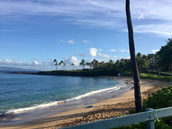
The Kapalua Coastal Trail in Kapalua, Maui is an easy 2.6 mile out-and-back trail that runs along Kapalua's scenic shores. From this trail you'll get views of Molokai and Lanai along with access to Kapalua Beach and Oneloa Beach.
The trail has two main trailheads with parking lots at each end; however the link for parking here will bring you to the western terminus, which is a lot more popular than the eastern trailhead since Kapalua Beach is located just a few hundred feet from the western trailhead.
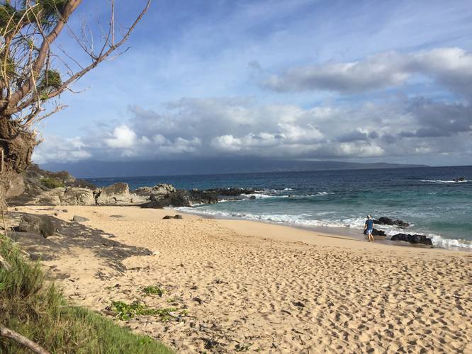
The trail follows a paved path for the majority of the hike, except for miles 0.6 to miles 0.8, which follows a rocky landscape littered with volcanic rocks. The trail is not fully accessible, especially through the rocky volcanic landscape. Dogs are also not allowed in between the signage near the rocky areas as there are nesting birds - the 'Ua'u kani. The 'Ua'u kani are a Wedge-tailed Shearwater bird that build tunnels in the ground to next from April to December. You must stay on the trail to not disturb the nesting birds too since their tunnels are fragile.
Hiking beyond Oneloa Beach, you'll end up in a parking lot where the trail will follow Lower Honoapiilani Rd until you reach another parking lot, just after Office Rd, where the trail will continue east and runs next to a resort and the Honokahua burial site. The trail will end at the D.T. Fleming Park where you can also find the trailhead for the Mahana Ridge Trail.
Respecting the Land
Hawaiian land is considered sacred to native Hawaiians and many locals, so please stay on-trail, take nothing but photos, and leave nothing but footprints. Respect the locals - don't stay for long and have a backup hike planned in case the parking lot is full.
The trail has two main trailheads with parking lots at each end; however the link for parking here will bring you to the western terminus, which is a lot more popular than the eastern trailhead since Kapalua Beach is located just a few hundred feet from the western trailhead.
The trail follows a paved path for the majority of the hike, except for miles 0.6 to miles 0.8, which follows a rocky landscape littered with volcanic rocks. The trail is not fully accessible, especially through the rocky volcanic landscape. Dogs are also not allowed in between the signage near the rocky areas as there are nesting birds - the 'Ua'u kani. The 'Ua'u kani are a Wedge-tailed Shearwater bird that build tunnels in the ground to next from April to December. You must stay on the trail to not disturb the nesting birds too since their tunnels are fragile.
Hiking beyond Oneloa Beach, you'll end up in a parking lot where the trail will follow Lower Honoapiilani Rd until you reach another parking lot, just after Office Rd, where the trail will continue east and runs next to a resort and the Honokahua burial site. The trail will end at the D.T. Fleming Park where you can also find the trailhead for the Mahana Ridge Trail.
Respecting the Land
Hawaiian land is considered sacred to native Hawaiians and many locals, so please stay on-trail, take nothing but photos, and leave nothing but footprints. Respect the locals - don't stay for long and have a backup hike planned in case the parking lot is full.