The Kanyoo Trail (Blue Loop) at the Iroquois National Wildlife Refuge near Alabama, New York is an easy 1-mile loop hike that features views of the Mohawk Pool wetlands from a boardwalk.
Hike Description
This hike begins at the main trailhead for the Kanyoo Trail and heads in along the spur trail that leads to the two different loops. This hike stays right at the junction where the yellow trail and blue trails diverge. Staying right at the junction means that hikers will be following the Blue Loop or blue blazes.
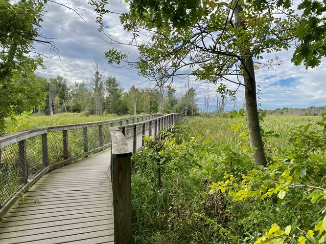
Boardwalk - Mile 0.55 to 0.65
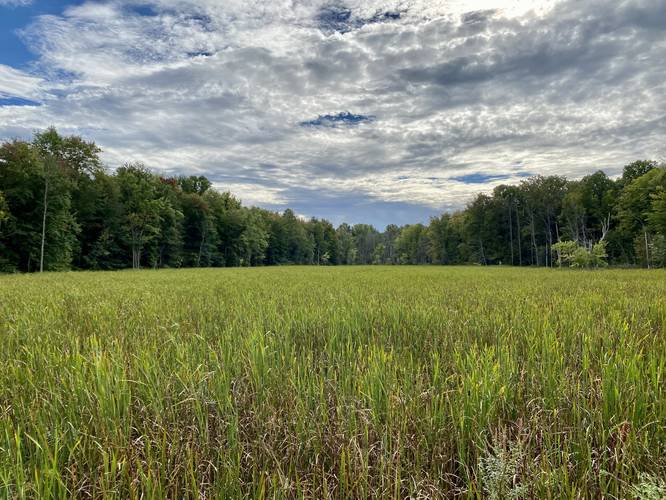
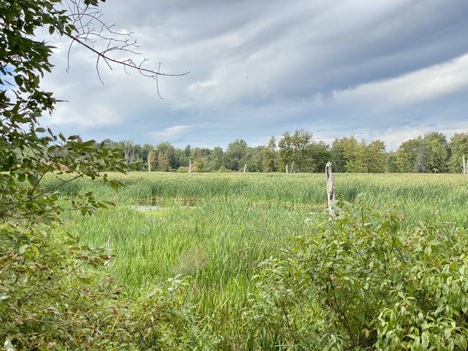
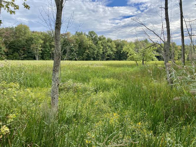
Around mile 0.55, hikers will reach a boardwalk that spans for about 0.1 mile, across a finger of the Mohawk Pool wetland area. This is by far the most scenic part of the hike as these open wetland views provide a backdrop of forest or open wetland plains full of tall grasses.
After passing the boardwalk, the blue blazes of the Kanyoo Trail will meet up once again with yellow blazes as this western portion of the trail shares the same path with the Yellow Loop. At mile 0.85, hikers will reach the spur trail they came in on which leads to the parking lot - take a right-hand turn here.
Parking
Hikers will find a very large parking lot at the coordinates provided. The lot is large enough to fit a couple-dozen vehicles as of September, 2022.
Pets
Dogs are allowed if leashed and their waste must be carried out by the hiker.
Popularity
This is a high-trafficked trail and is popular with locals.
Hike Description
This hike begins at the main trailhead for the Kanyoo Trail and heads in along the spur trail that leads to the two different loops. This hike stays right at the junction where the yellow trail and blue trails diverge. Staying right at the junction means that hikers will be following the Blue Loop or blue blazes.
Boardwalk - Mile 0.55 to 0.65
Around mile 0.55, hikers will reach a boardwalk that spans for about 0.1 mile, across a finger of the Mohawk Pool wetland area. This is by far the most scenic part of the hike as these open wetland views provide a backdrop of forest or open wetland plains full of tall grasses.
After passing the boardwalk, the blue blazes of the Kanyoo Trail will meet up once again with yellow blazes as this western portion of the trail shares the same path with the Yellow Loop. At mile 0.85, hikers will reach the spur trail they came in on which leads to the parking lot - take a right-hand turn here.
Parking
Hikers will find a very large parking lot at the coordinates provided. The lot is large enough to fit a couple-dozen vehicles as of September, 2022.
Pets
Dogs are allowed if leashed and their waste must be carried out by the hiker.
Popularity
This is a high-trafficked trail and is popular with locals.