High Rock Summit at F. Gilbert Hills State Forest in Wrentham, Massachusetts is an easy 0.1-mile loop that leads to the mountain summit of High Rock, featuring a massive rocky outcropping.
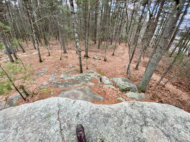
This is not a hike, but rather a walk and light rock scramble that allows hikers and visitors to stand atop High Rock, the highest point in F. Gilbert Hills State Park. High Rock is nothing special - it's simply a massive bedrock outcropping located in the middle of the woods, surrounded by mostly-flat forest. Adjacent to High Rock is a rusty old fence that was once used to keep the general public away from an old radio tower. That radio tower is now gone and the rusty fence remains - which feels a bit eerie. Hikers can scramble around High Rock if they wish or simply show up to take a look. This GPS recording scrambles around the summit of High Rock before leaving.
Dedicated Plaque
On High Rock is a plaque dedicated to Mead Bradner. The plaque reads: "In recognition of Mead Bradner - Friends of the Warner Trail. 1996".
Parking
Hikers and visitors will find a small parking turnout near the coordinates provided, located along High Rock Road. The turnout is large enough to fit a few vehicles; however, more parking can be found at the end of High Rock Road just down the street.
Pets
Dogs are allowed only if leashed and must be cleaned up after.