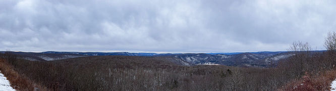
The High Knob Trail near Hillsgrove, Pennsylvania in the Loyalsock State Forest is a moderate 2.5 hike (one way) that leads to an impressive and expansive panoramic view at High Knob Overlook (which can also be accessed by road). The trail also passes a scenic pond area with camping opportunities.
Trails:
This hike follows the High Knob Trail to the overlook and although you can return by the same route, I opted to make it a lollipop loop and used the road, Loyalsock Trail and Bridle trail to loop back, which was about 5.6 miles total.
Parking:
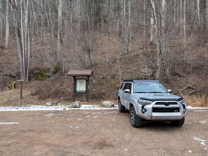
There is a good sized parking area just past the Hillsgrove Ranger station on Dry Run Road. (41.420944, -76.702524)
Hike:
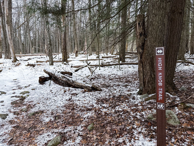
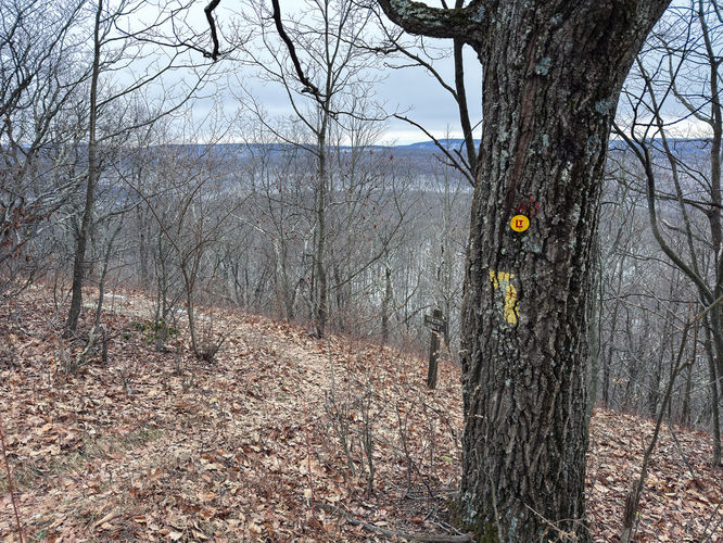
The trailhead is clearly marked at the parking area and follows a shared use trail as it ascends on a wide path up the mountain (blazed yellow & red). At just over a mile and about 700ft of elevation gain, High Knob Trail will break away to the left from the shared use trail, follow the yellow blazes to stay on High Knob Trail.
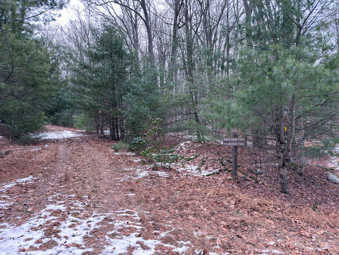
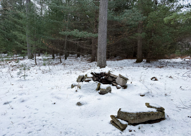
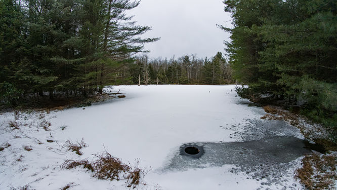
The trail will soon level off as it approaches a small pond area. Just before the pond, you will see where Jackson Trail intersects with High Knob Trail. I did briefly take this trail to explore the southern end of the pond. I then returned to the main trail and located a campfire ring at 41.434236, -76.690872. As I approached the north end of the pond, I again explored the pond, but the north and west side of the pond is very thick with mountain laurel. This was an interesting area and a place I wouldn’t mind exploring further in other seasons and possibly utilizing the campspot.
The trail leaves the area of the pond and travels through mountain laurel for a brief section and in just over a half mile from the pond intersects with another trail, Hotzauer Trail. The trail meanders through the forest and eventually crosses the red blaze bridle trail. At this point, you will make the final push to ascend to High Knob Overlook. It’s a short but steep climb to High Knob Road and the expansive panoramic view at the overlook. This overlook has picnic areas, restrooms and a long fence along the road and view. Depending on the time of year, this area could be busy with vehicles and people, during my hike the road was closed for the winter season and I was the only person at the overlook.
At this point, you can retrace your steps and return the way you came as an out-and-back hike or you can utilize the many trails of the Loyalsock State Forest and loop back. I opted for a short lollipop loop as I hiked the road for a short distance to where the Loyalsock Trail crosses the road and drops back down into the forest (41.440464, -76.673906). The trail descends steeply for a short distance switchbacking as it goes. The Loyalsock Trail and the Bridle Trail come close to each other, but don’t quite intersect. As the LT turns left, you should be able to look a short distance beyond and see the Bridle Trail and the red blazes. I made the hop to the bridle trail and continued to follow this trail to where the High Knob Trail breaks off completing the lollipop loop portion of the hike and then following the same shared use trail I started on to finish the hike.