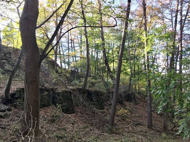
The King Estate Trail in Pittsburgh, PA connects King ave to N Negley, just south of the Highland Park Reservoir #2.
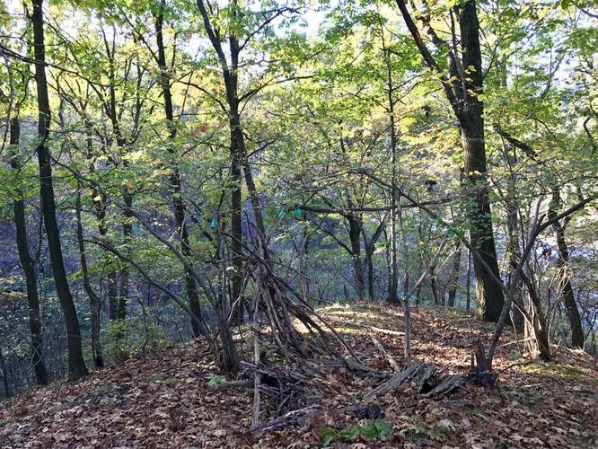
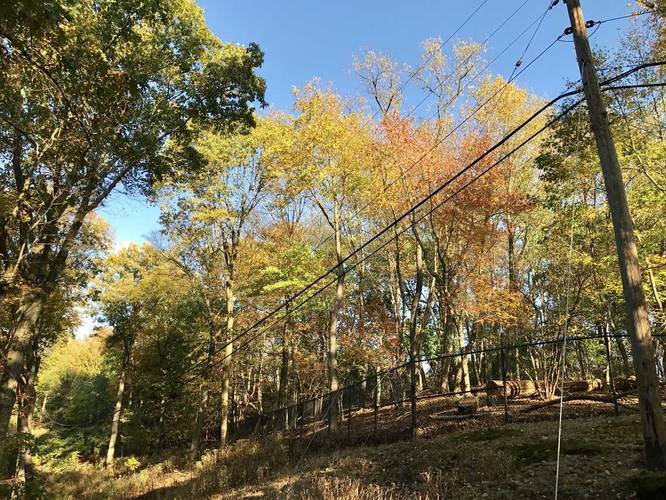
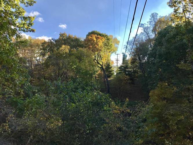
This trail has 3 exit points and some interesting crumbling old architecture directly behind the estate. The northwest section of the trail is interesting, but can be a bit dangerous hiking up and down the steep hillsides. It leads down to the small creek and up the immediate hillside, passing along the fence until you reach a section of the hill that juts out above the Zoo's overflow parking lot. There's a small bushcraft shelter and a small overlook section looking down into the gorge below near the powerlines.
In the Fall, you can see the wooden bridge structure for the PGH Zoo's train, which curves through a section of the woods adjacent to the trail. In the winter, you can see large ice formations hanging from the gorge's ledges further down the hill as well.
Note: you can mountain bike through the eastern portion of this trail; however, on the west portion is a small staircase and the trail becomes more narrow. There are sometimes downed trees on the western portion as well.
Parking: The parking marker provided here is located along King Ave in Highland Park, Pittsburgh, at the trailhead; however, you can also park at the opposite side of this trail along N Negley Ave. There are two trailheads along N Negley Ave - one located at the park in between N Negley and Elgin St and one located at the corner of N Negley and Mellon Terrace.