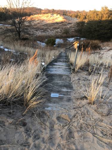
This recording begins in the center of the park and heads back to parking; however, hikers will find the hike in from the parking lot is just as easy as the hike out.
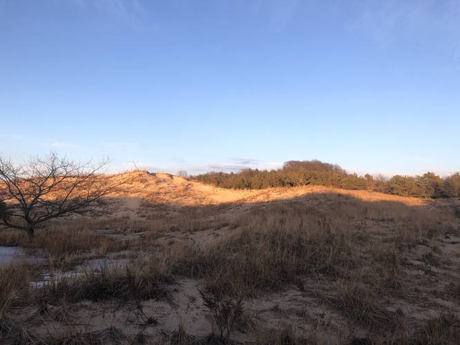
Along the trail, hikers will pass several sand dunes before reaching more trails like the Meime Vandenberg Trail and the Connie Lindquist Trail.
Important
Hikers must stay out of the dunes to keep them preserved.
About the KLH Dunes Preserve
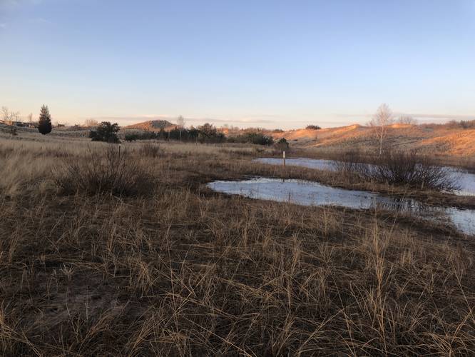
The KLH Dune Preserve is a hidden gem of West Michigan's parks and green spaces. With 115 acres of protected dunes, forest, and wetlands, this stunning location represents the unique freshwater dune ecology that can only be found on the Third Coast--that is, the eastern shores of Lake Michigan.
The preserve was founded in 1971 by Constance and Gerald Lindquist, along with Harold Hartger, with an original donation of 60 acres to The Nature Conservancy. Today, it is owned and operated by the City of Ferrysburg and receives substantial support from the Grand Haven Area Community Foundation, local Boy Scouts, and other organizations.
Author's Note
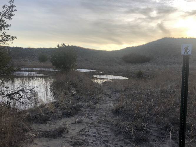
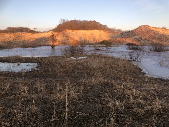
This
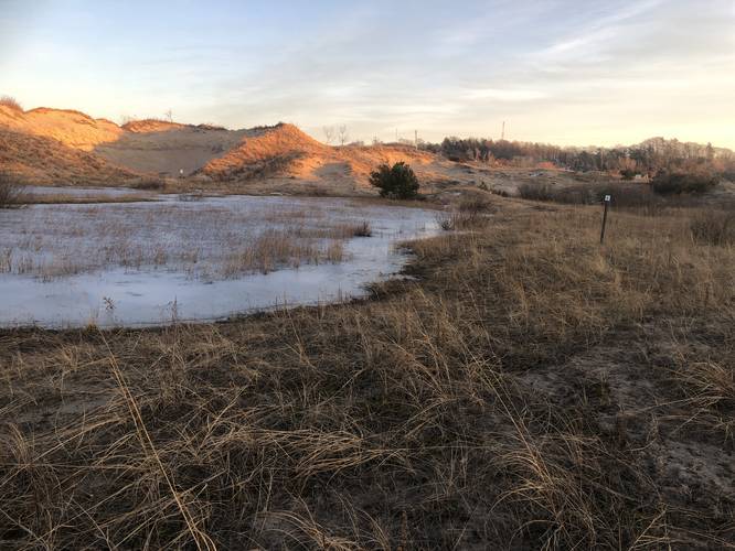
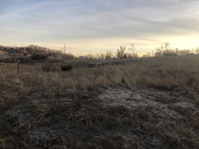
particular route and associated photos also demonstrate the ongoing
ecological crisis unfolding in Michigan. Due to extraordinarily high
water levels and erosion, much of the trail remains impassable this
season (winter 2020). The photo album will show numerous wetland areas
that are totally flooded.
Warning (Ticks)
Ticks can be found in the high dune grass in KLH. Hikers are encouraged to check themselves and their gear.
-- Outdoor classroom
-- Bathrooms available during warm months
Parking
Hikers will find a small parking lot at the coordinates provided.
Pets
Dogs are allowed if leashed and their waste must be carried out by the hiker.