Hanson's Point Spur Trail at Red River Gorge National Geological Area in Stanton, Kentucky is an easy 1.9 mile out-and-back hike that leads from the Rough Trail (Grays Arch Loop Trail) out to Hanson's Point and back. It's one of the best trails for views and backpacking at Red River Gorge since it gives you a multitude of lookout points above the gorge next to campsites. While the payout of this trail is worth the effort, you need to be prepared to duck your head and push through branches for over half a mile as this trail is not well-maintained.
The trail starts off of the Rough Trail on the hairpin turn just west of the Pinch-Em Tight Trail. To find the trailhead, look for a deer trail within the pine trees just before the trail starts to head downhill (while hiking west) on your right. If you're hiking east on the Rough Trail, you'll find the trailhead at the top of the hill on your left. To see the trail junction easily, check out the map on our Red River Gorge page.
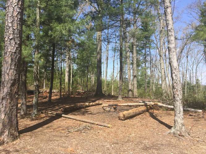
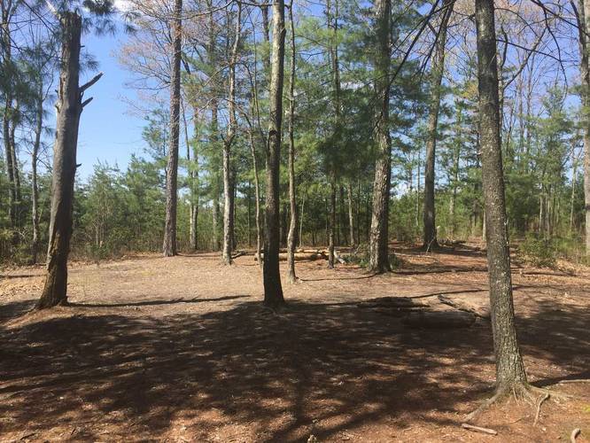
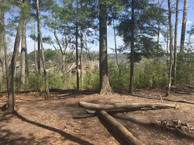
While following the trail, you'll pass at least 3 designated campsites that lie in open spaces with some views of the gorge. Eventually you'll pass the last campsite and you'll start to hike downhill - this is where you can start to see Hanson's Point - which is only about 0.1 miles away from the last campsite.
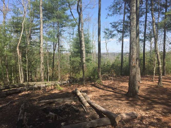
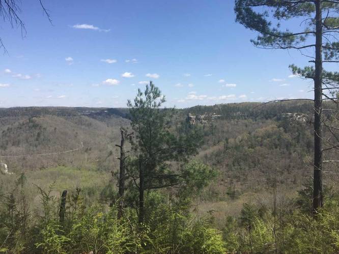
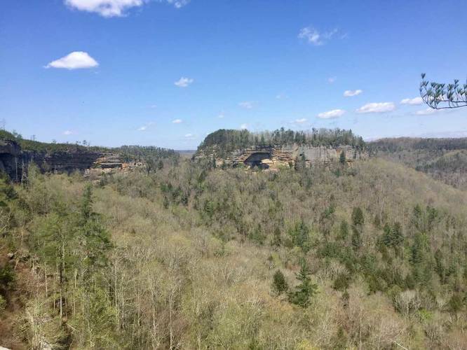
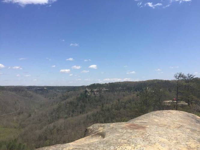
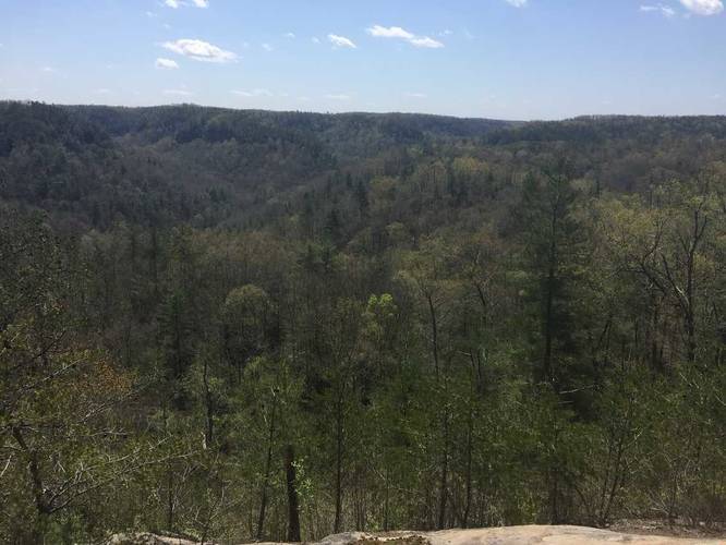
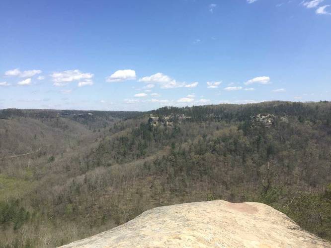
From the lookout, you'll be able to see Chimney Top Rock (to the northeast), the Red River (to the north), and various cliff formations in the gorge to the west.
Warning: Hanson's Point has no railing or fence to keep you safe and some of the cliffs there are well over 100 feet tall. Hike at your own risk.
Dogs are allowed on this trail.
The trail starts off of the Rough Trail on the hairpin turn just west of the Pinch-Em Tight Trail. To find the trailhead, look for a deer trail within the pine trees just before the trail starts to head downhill (while hiking west) on your right. If you're hiking east on the Rough Trail, you'll find the trailhead at the top of the hill on your left. To see the trail junction easily, check out the map on our Red River Gorge page.
While following the trail, you'll pass at least 3 designated campsites that lie in open spaces with some views of the gorge. Eventually you'll pass the last campsite and you'll start to hike downhill - this is where you can start to see Hanson's Point - which is only about 0.1 miles away from the last campsite.
From the lookout, you'll be able to see Chimney Top Rock (to the northeast), the Red River (to the north), and various cliff formations in the gorge to the west.
Warning: Hanson's Point has no railing or fence to keep you safe and some of the cliffs there are well over 100 feet tall. Hike at your own risk.
Dogs are allowed on this trail.