Grimes Glen Trail & Waterfalls at Grimes Glen Park in Naples, New York is a moderate 0.6-mile out-and-back hike that features several waterfalls including the 62-foot tall waterfall, Lower Falls.
Hike Description
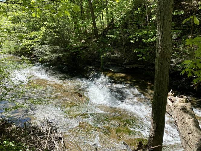
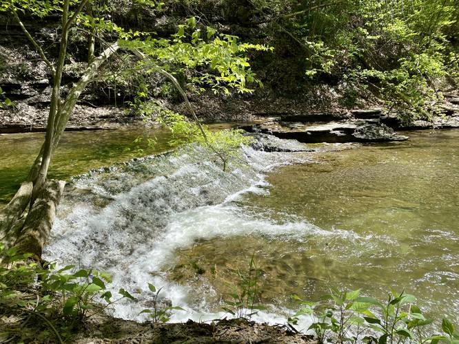
This hike begins at the main trailhead at Grimes Glen Park and follows the trail as it makes its way upstream. Along the way, hikers will pass several small waterfalls including one located in the gorge adjacent to the trailhead, just upstream from the bridge creek crossing, and a low but very long slide waterfall half-way to Lower Falls.
End of Trail, Scramble or Creek Hike - Mile 0.25
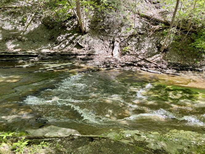
The trail itself is easy to follow as it meanders its way along Grimes Creek on its southern banks for most of the hike; however, around mile 0.25, the trail will end. Here, hikers have two choices - either hike in the creek itself and potentially get your feet wet or follow the scramble trails that hikers have built into the hillsides that go up and around the water. During mid-May, the water level was not very high, so both options were fine. This GPS track brings hikers up the scrambles which have a ~15-foot drop-off from them, so be warned. The scrambles lead back into the creek bed to reach Lower Falls.
Lower Falls (62-foot tall waterfall) - Mile 0.3
Around mile 0.3, hikers will reach the stunning 62-foot tall waterfall known as Lower Falls. This waterfall is not the last large waterfall that hikers can explore, but this GPS track ends here. Hikers will have to get their feet wet to explore further upstream to reach Upper Falls which provides additional views of another very large waterfall.
Hiking Out
Getting out of Grimes Glen is obviously the opposite hike in, but note that sometimes it's easier to just stay on the creek bed. This is a popular place and thus fills up with people fairly quickly. Trying to navigate the hillside scrambles with groups of people passing by isn't easy nor very safe.
Parking
Hikers will find a medium-sized parking lot at the coordinates provided for Grimes Glen Park. The lot is large enough to fit about 20 cars or slightly less and fills up fairly quickly on weekends.
Pets
Dogs are allowed only if leashed and must be cleaned up after.
Swimming
Note that despite there being swimming holes here (apparently at Upper Falls), swimming is prohibited due to lack of safety and difficulty rescuing people deep in the glen.
Hike Description
This hike begins at the main trailhead at Grimes Glen Park and follows the trail as it makes its way upstream. Along the way, hikers will pass several small waterfalls including one located in the gorge adjacent to the trailhead, just upstream from the bridge creek crossing, and a low but very long slide waterfall half-way to Lower Falls.
End of Trail, Scramble or Creek Hike - Mile 0.25
The trail itself is easy to follow as it meanders its way along Grimes Creek on its southern banks for most of the hike; however, around mile 0.25, the trail will end. Here, hikers have two choices - either hike in the creek itself and potentially get your feet wet or follow the scramble trails that hikers have built into the hillsides that go up and around the water. During mid-May, the water level was not very high, so both options were fine. This GPS track brings hikers up the scrambles which have a ~15-foot drop-off from them, so be warned. The scrambles lead back into the creek bed to reach Lower Falls.
Lower Falls (62-foot tall waterfall) - Mile 0.3
Around mile 0.3, hikers will reach the stunning 62-foot tall waterfall known as Lower Falls. This waterfall is not the last large waterfall that hikers can explore, but this GPS track ends here. Hikers will have to get their feet wet to explore further upstream to reach Upper Falls which provides additional views of another very large waterfall.
Hiking Out
Getting out of Grimes Glen is obviously the opposite hike in, but note that sometimes it's easier to just stay on the creek bed. This is a popular place and thus fills up with people fairly quickly. Trying to navigate the hillside scrambles with groups of people passing by isn't easy nor very safe.
Parking
Hikers will find a medium-sized parking lot at the coordinates provided for Grimes Glen Park. The lot is large enough to fit about 20 cars or slightly less and fills up fairly quickly on weekends.
Pets
Dogs are allowed only if leashed and must be cleaned up after.
Swimming
Note that despite there being swimming holes here (apparently at Upper Falls), swimming is prohibited due to lack of safety and difficulty rescuing people deep in the glen.