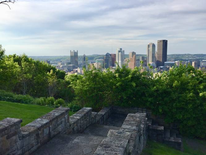
The Grandview Park Loop Trail at Grandview Park in Pittsburgh, Pennsylvania is a 0.6-mile moderate and paved trail with an amazing lookout point with views of downtown.
This trail starts at the main entrance to Grandview Park along Bailey Ave and heads to the lookout point first. The trail then runs through the park and ends at McLain Street before heading back. This recording follows the staircase and stays left at the fork in the trail while heading back to the western entrance. This southern section of trail has a steep grade, hence the moderate difficulty. For an easier hike, plan an out-and-back trip along the main trail instead.
Amenities: Grandview Park has basketball courts and a playground next to the McLain Street entrance. Water fountains can also be found within the park. Benches can be found near the lookout point and higher up on the hill from the lookout with even better views of Pittsburgh.
Parking: Parking can be found along Bailey Avenue next to the park. There is no parking in Grandview Park.
Pets: Dogs are allowed on this trail.
Biking: Biking is allowed on the lower trail since the upper trails have stairs.