One of the most-popular waterfall trails in Connecticut sits in the quiet Enders State Forest located in Granby, Connecticut.
The Enders Falls Trail, an easy 0.5-mile loop hike, leads visitors down the scenic Enders Brook where you'll discover a multitude of beautiful waterfalls including a couple of ~30-foot cascades.
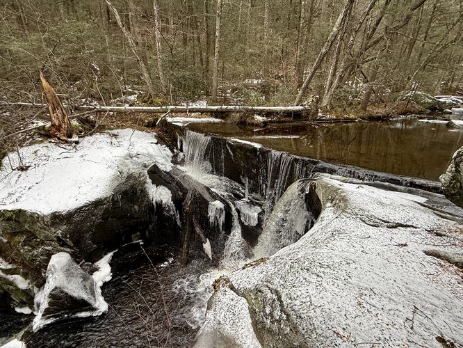
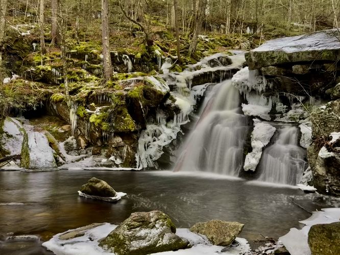
At the edge of Enders Brook sits a ~5-foot tall waterfall that spans the width of Enders Brook. While this cascade isn't the largest along the trail, it's likely one of the most scenic and provides a full view for hikers to appreciate, unlike other cascades along the hike.
Following the Enders Falls Trail east, hikers will reach a fork in the trail where the main pathway leads down a series of stairs alongside the brook. Keep-right at the fork.
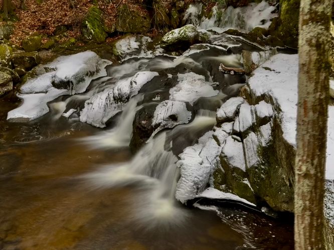
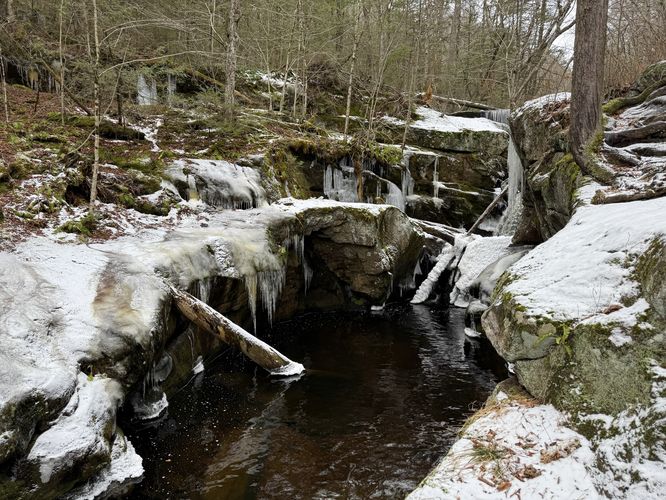
Right near the fork in the trail, you'll find a couple of larger waterfalls plummeting down Enders Brook and can be appreciated from the boardwalk-style trail that runs along the edge of the water.
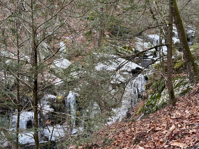
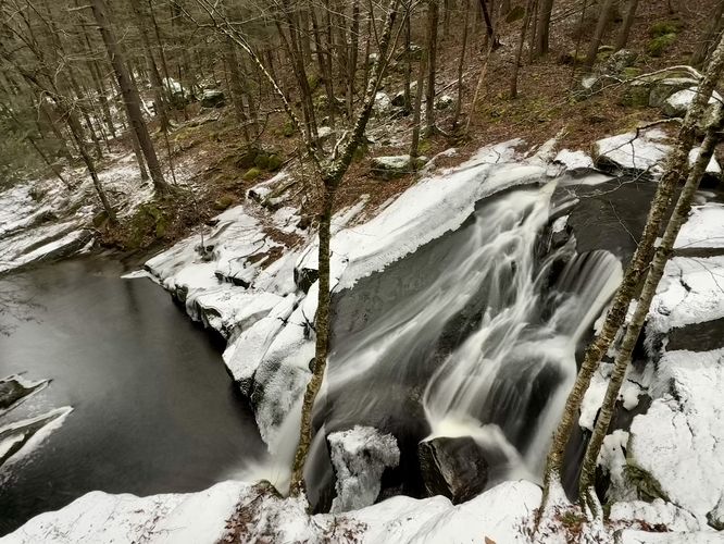
Continue further down the trail to find even more cascades that spill down bedrock within Enders Brook. Eventually, the trail curves to the left to head back toward a flat trail to make-up the loop hike; however, this route leads hikers beyond the curve and down a short but steep hillside to reach the base of the very-last waterfall in Enders Brook. This last waterfall is approximately 30-feet tall and is the most spectacular cascade within Enders Brook that can be fully appreciated without any obstructing trees or branches.
The last leg of the hike leads from the last waterfall, back up the hillside, to reach the flat path that creates the loop with the brook path. Reach the parking lot at mile 0.5 to wrap up the hike.
The Enders Falls Trail, an easy 0.5-mile loop hike, leads visitors down the scenic Enders Brook where you'll discover a multitude of beautiful waterfalls including a couple of ~30-foot cascades.
Hiking the Enders Falls Trail
This hike begins at the main parking lot and trailhead at Enders State Forest located on the south side of Barkhamsted Rd in Granby, CT. The trail begins on the southwest corner of the parking lot where hikers will head toward Enders Brook where a short, but wide waterfall awaits your visit.At the edge of Enders Brook sits a ~5-foot tall waterfall that spans the width of Enders Brook. While this cascade isn't the largest along the trail, it's likely one of the most scenic and provides a full view for hikers to appreciate, unlike other cascades along the hike.
Following the Enders Falls Trail east, hikers will reach a fork in the trail where the main pathway leads down a series of stairs alongside the brook. Keep-right at the fork.
Right near the fork in the trail, you'll find a couple of larger waterfalls plummeting down Enders Brook and can be appreciated from the boardwalk-style trail that runs along the edge of the water.
Continue further down the trail to find even more cascades that spill down bedrock within Enders Brook. Eventually, the trail curves to the left to head back toward a flat trail to make-up the loop hike; however, this route leads hikers beyond the curve and down a short but steep hillside to reach the base of the very-last waterfall in Enders Brook. This last waterfall is approximately 30-feet tall and is the most spectacular cascade within Enders Brook that can be fully appreciated without any obstructing trees or branches.
The last leg of the hike leads from the last waterfall, back up the hillside, to reach the flat path that creates the loop with the brook path. Reach the parking lot at mile 0.5 to wrap up the hike.